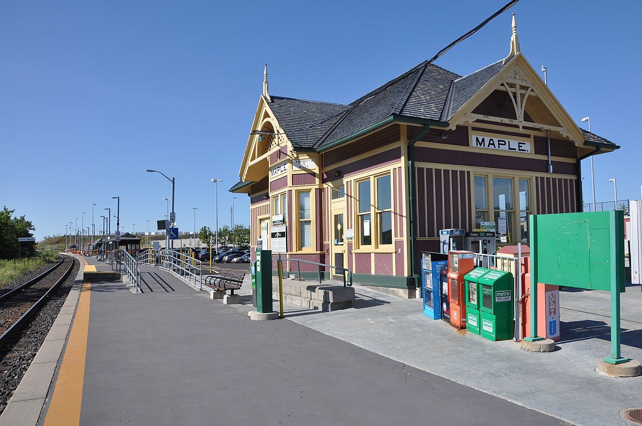
Former Canadian National Railway Station, Maple, Ontario · Photo: Reaperexpress · CC BY-SA 3.0
1historic place on the registers
History of Vaughan · Canada’s heritage registers
Vaughan: 1 historic place on Canada’s heritage registers
Before 1961: just 1.4% of the homes, where most towns have 18%. Former Canadian National Railway Station, Maple, Ontario, from 1903, is the town’s heritage railway station.
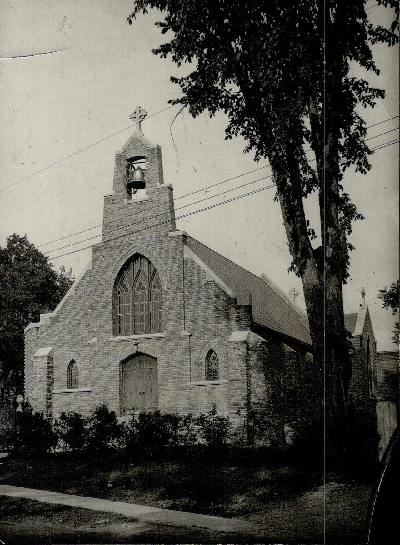
Public domain or CC0, made before 1950, from Wikimedia Commons; old views of places can be drawings, prints or maps of their time. Each credit opens the image’s page.
How it began
From 1792: Vaughan’s first milestones
1792 is the date of Vaughan’s municipality in Wikidata, and like many such dates it may record a charter, not the first homes. The name Vaughan comes from Benjamin Vaughan, british diplomat and politician. Its oldest recorded station, Maple GO Station, dates from 1853.
Every place on the registers inside the town, by its designation.
Other federal designations
Names show on hover, and a tap takes you to the place’s page.
The 1, by tier
1 Other federal designations
Parks Canada’s Directory of Federal Heritage Designations lists the places the Government of Canada has recognized; outside Québec, provincial and municipal listings come only through Wikidata, and only those with an encyclopedia article get a page.
Points from Wikidata (Parks Canada’s files carry none) and from Québec’s register, as mapped there.
Other federal designations
Federal heritage in Vaughan: one more place
Recognized Federal Heritage Buildings, heritage railway stations and lighthouses. Each one opens its own page.
They are spread over 27 towns, including Downtown Yonge East, Yonge-Bay Corridor and Aurora. The mix: 34 National Historic Sites, 12 provincial or municipal listings and 3 heritage railway stations. Fort York, 24 km off, is the oldest: 1813.
Postal Station “D”Recognized Federal Heritage Building · 1935–1937 · 20 km away, in Junction Area
Balmoral Fire HallNational Historic Site · 1911–1912 · 20 km away, in Yonge-St.Clair
SpadinaNational Historic Site · 1866–1914 · 20 km away, in Casa Loma
Heliconian HallNational Historic Site · 1876–1877 · 21 km away, in Annex
Don Valley Brick WorksOntario Heritage Trust easement · 21 km away, in Leaside-Bennington
Homes by age
11% of Vaughan’s homes are from 2016 to 2021 (4.1% is typical)
The busiest building years in Vaughan were from 1981 to 2000, which account for 42% of today’s homes. Homes built from 1961 to 1980 make up just 6.2% of Vaughan’s, against 27% in the typical town. 40% of Vaughan’s homes were built from 2001 to 2015, more than the typical town’s 15%.
1.4%
Before 1961
6.2%
1961–80
42%
1981–2000
40%
2001–15
11%
2016–21
VaughanTypical town
2021 Census, private dwellings by period of construction (Statistics Canada); the typical town is the middle Canadian town of 2,500 or more.
Canada’s heritage lists give Vaughan 1 historic place. The census dates only 1.4% of its homes before 1961, against 18% in the typical town. The rest is about typical: its past has one life on the record, John W. McDonald (1878); and its designation dates from 1992.
How to read these numbers
What this data can and can’t tell you
•
Protection. Being on these registers doesn’t mean a building can’t change. Federal designation commemorates; protection is provincial or municipal, and those lists aren’t open here.
•
People and events. National historic persons carry no place in the open file. They appear on a town’s page when born there (same name, same birth and death years) or when a historic place inside it carries their name and its record names them with their dates; national historic events don’t appear.
•
The federal register. The federal list is complete and open: Parks Canada’s directory for the designations, the Canadian Register of Historic Places for what each one is and why it matters.
•
The grade. History is described, not graded, for every Canadian town.
•
Map points. Federal places get their map points from Wikidata, since Parks Canada’s files carry none; they are as mapped there.
•
The tiers. Three tiers: the top for National Historic Sites, classified federal buildings and Québec’s classements, a second for the other federal designations, a third for provincial and municipal listings.
•
Provincial and municipal lists. Provincial and municipal listings here come from Wikidata alone, since the provinces’ own registers can’t be reused; a listing needs an encyclopedia article to get a page.
Questions about Vaughan’s history
How many historic places does Vaughan have on the registers?
1 historic place inside Vaughan, by the federal, Québec and Wikidata-known registers.
How old are the homes in Vaughan?
Before 1961: 1.4% of its homes; the typical town has 18%.
What is the oldest building in Vaughan?
Former Canadian National Railway Station, Maple, Ontario — its record dates it to 1903 (Heritage Railway Station).
Contains information licensed under the Open Government Licence – Canada (Parks Canada).
Sources: Parks Canada, Directory of Federal Heritage Designations · Canadian Register of Historic Places (federal extract) · Wikidata (CC0) for map points, other names and articles · Statistics Canada, 2021 Census (homes by period of construction). Under the Statistics Canada Open Licence.
 1870
 1910
 1910
 1910
 1910
 1910
 1910
 c. 1925
 c. 1935
 Fed