 Top
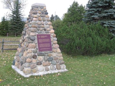
National Historic Site · 1814Glengarry LandingGlengarry Landing Road SouthPhoto: Yoho2001 at en · CC BY-SA 3.0 · Commons file
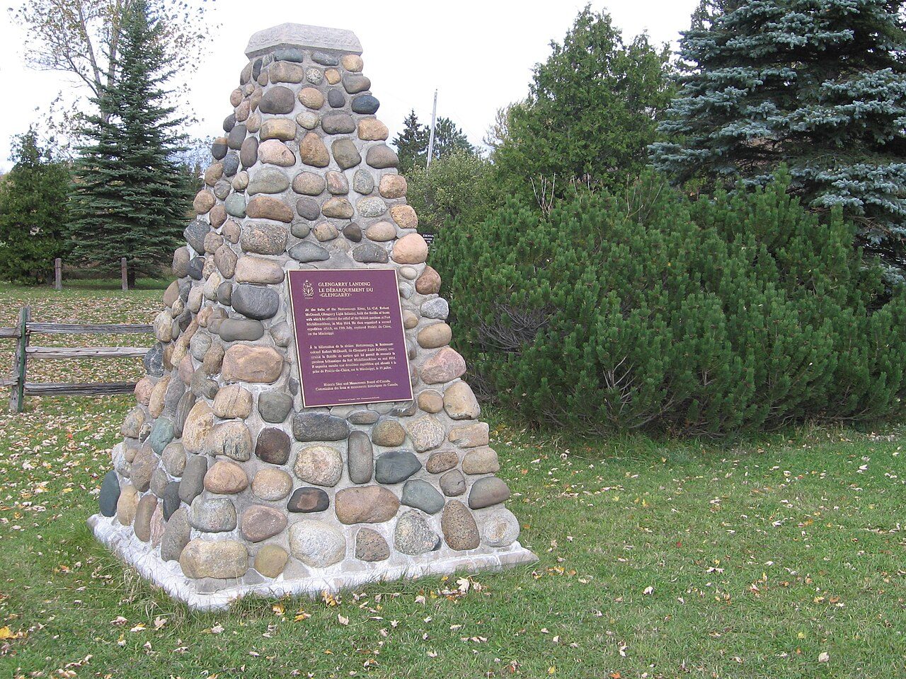 Glengarry Landing · Photo: Yoho2001 at en · CC BY-SA 3.0
1historic place on the registers
History of Springwater · Canada’s heritage registers
One place in Springwater, at the top of the registers
In Springwater that place is Glengarry Landing, a national historic site, from 1814. Measured against its size, Springwater’s 0.4 per 10,000 residents puts it ahead of 73% of Canadian towns.
Historic places
1
0.4 per 10,000 residents
Highest designations
1
National Historic Sites and Classified Federal Heritage Buildings
Oldest building
1814
the first construction date on its record
Homes built before 1961
17%
typical town: 18%
The map
Where Springwater’s history is
Every place on the registers inside the town, by its designation.
Highest designations
Dots open their places’ pages; hover first to read the name.
The 1, by tier
1 Highest designations
What the map shows is the open record: the federal directory in full, and from provincial or municipal lists only the places Wikidata ties to an encyclopedia article.
Points from Wikidata (Parks Canada’s files carry none) and from Québec’s register, as mapped there.
Highest designations
One place in Springwater with the highest designation
National Historic Sites and Classified Federal Heritage Buildings, Canada’s highest federal recognition. Each one opens its own page.
Around the town
12 places of national importance within 50 km of Springwater
They stand in 12 towns, Tay, Collingwood and Orillia among them. The earliest date is Sainte-Marie Among the Hurons Mission’s, 1639, 29 km away. Oro African Methodist Episcopal Church in Oro-Medonte is the nearest, 13 km away.
The 12 nearest, within 50 km
| Oro African Methodist Episcopal ChurchNational Historic Site · 1849–1850 · 13 km away, in Oro-Medonte |
| Canadian National Railways Allandale Station at Barrie, Allandale / Barrie, OntarioHeritage Railway Station · 1900–1906 · 15 km away, in Barrie |
| Royal Flying Corps HangarsNational Historic Site · 1917–1918 · 24 km away, in Angus |
| Mission of St. Ignace IINational Historic Site · 1649 · 27 km away, in Tay |
| Saint-Louis MissionNational Historic Site · 1640 · 28 km away, in Tay |
| Sainte-Marie Among the Hurons MissionNational Historic Site · 1639 · 29 km away, in Tay |
| ClaverleighNational Historic Site · 1871–1872 · 30 km away, in Stayner |
| Collingwood Downtown Heritage Conservation DistrictHeritage conservation district · 33 km away, in Collingwood |
| Federal BuildingClassified Federal Heritage Building · 1913–1916 · 33 km away, in Collingwood |
| Canadian National Railway Station, Orillia, OntarioHeritage Railway Station · 1917–1918 · 34 km away, in Orillia |
| Stephen Leacock Museum / Old Brewery BayNational Historic Site · 1928–1929 · 35 km away, in Orillia |
| St. James on-the-LinesOntario Heritage Trust easement · 1840 · 36 km away, in Penetanguishene |
Homes by age
New homes stand out in Springwater: 12% from 2016–21, where most towns have 4.1%
20% of Springwater’s homes date from 2001 to 2015, well above the typical 15%. The largest single period is from 1981 to 2000, with 30% of Springwater’s homes. Homes from before 1961 are 17% of Springwater’s housing, about the typical 18%.
17%
Before 1961
21%
1961–80
30%
1981–2000
20%
2001–15
12%
2016–21
SpringwaterTypical town
2021 Census, private dwellings by period of construction (Statistics Canada); the typical town is the middle Canadian town of 2,500 or more.
Born here
Before 1914, Springwater gave 4 lives to the record
Of them all, Lloyd Turner lived longest: 92 years, until 1976. The oldest birth on the record is Robert Orok’s, in 1878. Fame, by Wikipedia: Frank Foyston first, in 7 languages. Frank Foyston closes the list, born in 1891.
Robert Orok
George Graham Johnston
Lloyd Turner
Frank Foyston
18501875190019251950

Frank Foyston1891–1966 · Canadian ice hockey player

Robert Orok1878–1958 · Canadian politician
GJ
George Graham Johnston1882–1960 · Politician in Ontario, Canada

Lloyd Turner1884–1976 · Canadian ice hockey pioneer
Everyone born in Springwater → Born before 1914 (the page’s periods: Confederation to the First World War). Birthplaces from Wikidata, each checked against the person’s Wikipedia article.
Towns its size
Springwater has the 4th most of 16 towns its size
Towns of 23,700 to 24,600 residents, by places on the registers.
Springwater1
Just these have more: Brockville, Kingston and Owen Sound. The typical town its size has 1. 8 of them have nothing on the registers.
Neighbours
Springwater and its neighbours
In brief
Springwater in brief
Springwater has 1 historic place, one with the highest designation, among them Glengarry Landing. Only 3 of the 16 towns nearest its size have more historic places. Among the lives from its past: Frank Foyston (1891), Robert Orok (1878) and George Graham Johnston (1882). The census dates only 17% of its homes before 1961, against 18% in the typical town. The rest is about typical: its one place was designated in 1923.
How to read these numbers
What this data can and can’t tell you
- The federal register. Every federal designation is in Parks Canada’s directory, and the Canadian Register of Historic Places gives most of them a bilingual statement of significance.
- The tiers. National Historic Sites and the most protected buildings form the top tier; recognized federal buildings, stations and lighthouses the second; provincial and municipal listings the third.
- The grade. History isn’t one of Canada’s graded pillars, so this page describes and compares without a letter.
- People and events. Parks Canada’s open file gives its national historic persons no place. A town’s page names one only when the person was born there (matched by name and both life years) or one of its own historic places carries the name and its record speaks of them; national historic events stay off.
- Map points. Federal places get their map points from Wikidata, since Parks Canada’s files carry none; they are as mapped there.
- Provincial and municipal lists. The local and provincial lists outside Québec aren’t published openly, so this page counts what Wikidata records and pages only the places an encyclopedia describes.
- Protection. Federal recognition isn’t a planning control: buildings the federal government owns follow its heritage policy, while others are protected only by a provincial or municipal designation.
Questions about Springwater’s history
Which places in Springwater have the highest designation?
Glengarry Landing.
What is the oldest building in Springwater?
Glengarry Landing, a National Historic Site, begun in 1814.
How old are the homes in Springwater?
The 2021 Census dates 17% of its homes before 1961 (18% in the typical town).
Contains information licensed under the Open Government Licence – Canada (Parks Canada).
Sources: Parks Canada, Directory of Federal Heritage Designations · Canadian Register of Historic Places (federal extract) · Wikidata (CC0) for map points, other names and articles · Statistics Canada, 2021 Census (homes by period of construction). Under the Statistics Canada Open Licence.
Adapted from Statistics Canada (Census of Population 2021, population estimates 2025, 2021 census boundaries) under the Statistics Canada Open Licence; this does not constitute an endorsement by Statistics Canada. Neighbourhood names in some cities © OpenStreetMap contributors (ODbL).