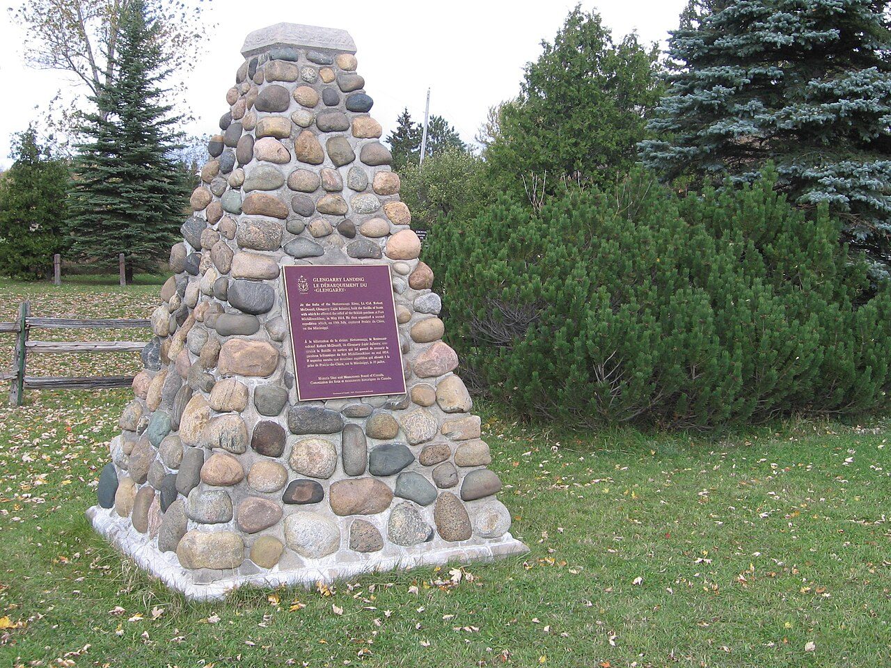
Glengarry Landing
Glengarry Landing Road South, Springwater
About Glengarry Landing
Glengarry Landing is the one National Historic Site in Springwater. Construction of Glengarry Landing is recorded as 1814.
Glengarry Landing National Historic Site of Canada is located on the east bank of the Nottawasaga River, south of Edenvale in Simcoe County, Ontario. The site consists of a semi-rural landscape that was occupied during the War of 1812 by the Glengarry Light Infantry Fencibles who constructed a flotilla of boats to relieve the British garrison at Fort Michilimackinac. At the time of designation, the site encompassed cleared fields and pasture, with no evidence of the 1814 military expedition’s activities. Today, the site has been divided into several lots, with the addition of several different structures and access roads. Official recognition refers to the legal property boundaries at the time of designation.
From the Canadian Register of Historic Places, Glengarry Landing National Historic Site of Canada · Open Government Licence – Canada · the register’s own words, unchanged
The Historic Sites and Monuments Board recommends National Historic Sites; the designation marks national significance, not ownership.
Finding Glengarry Landing
Springwater


Nothing else on the registers lies within an easy stroll of it.
Questions about Glengarry Landing
Can you visit Glengarry Landing?
Yes from the outside; whether it opens its doors is for its owner to say.
Is Glengarry Landing protected?
National Historic Site status commemorates; legal protection, where there is any, comes from the province or municipality, or from federal ownership.
What is Glengarry Landing?
Canada named Glengarry Landing a National Historic Site in 1923.
When was Glengarry Landing built?
The record of Glengarry Landing gives 1814.
Contains information licensed under the Open Government Licence – Canada (Parks Canada).
Sources: Parks Canada, Directory of Federal Heritage Designations · Canadian Register of Historic Places (federal extract) · Photos: Wikimedia Commons, each credited with its licence and copied to our own server · Wikidata (CC0) for map points, other names and articles.
Adapted from Statistics Canada (Census of Population 2021, population estimates 2025, 2021 census boundaries) under the Statistics Canada Open Licence; this does not constitute an endorsement by Statistics Canada. Neighbourhood names in some cities © OpenStreetMap contributors (ODbL).