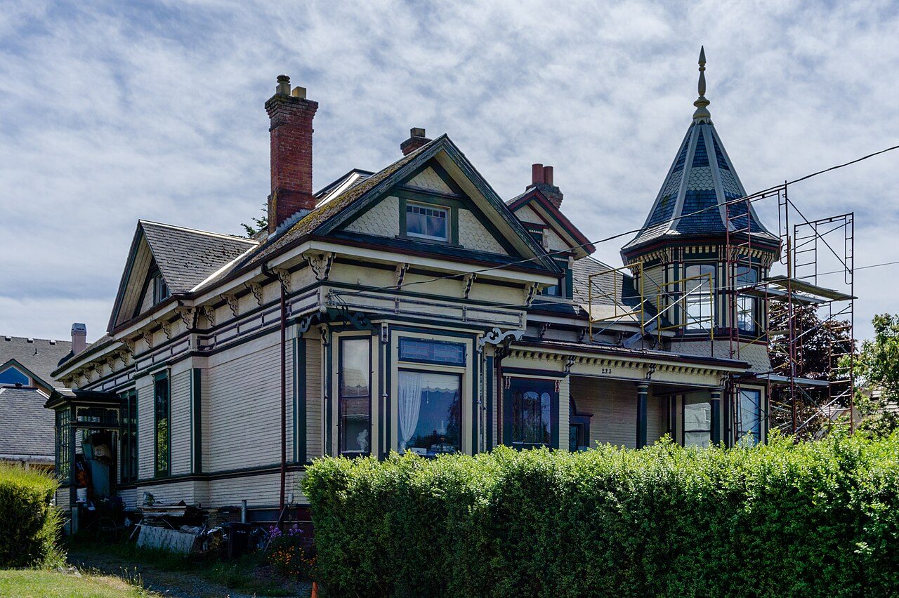
223 Robert Street
In French: 223, rue Robert
223 Robert Street, Victoria
Houses like this one are often still lived in, so view it from the public way.
About 223 Robert Street
Canada counts 223 Robert Street among Victoria’s 23 National Historic Sites. By its record, 223 Robert Street was built in 1905–1906. Hooper & Watkins designed it.
223 Robert Street is an ornate one and one-half storey wooden residence designed in the Queen Anne style. Built in 1905, its picturesque quality is enhanced by its location in a residential cluster containing several houses of similar style, scale and age. The house occupies a lot located near the waterfront in the Victoria West area of Victoria, British Columbia. The formal recognition refers to the building on its lot.
From the Canadian Register of Historic Places, 223 Robert Street National Historic Site of Canada · Open Government Licence – Canada · in the register’s words, not edited
National Historic Site status comes on the advice of the Historic Sites and Monuments Board of Canada.
Finding 223 Robert Street
Victoria


To reach another historic place from here you will need more than a short walk.
Questions about 223 Robert Street
When was 223 Robert Street built?
By its record, 223 Robert Street dates from 1905–1906.
What is 223 Robert Street?
223 Robert Street has been a National Historic Site of Canada since 1990.
Is 223 Robert Street protected?
The designation recognizes its national significance; it doesn’t by itself protect a building the federal government doesn’t own. Provincial or municipal designation may.
Can you visit 223 Robert Street?
It is a house, likely private: enjoy it from the street.
Contains information licensed under the Open Government Licence – Canada (Parks Canada).
Sources: Parks Canada, Directory of Federal Heritage Designations · Canadian Register of Historic Places (federal extract) · Photos: Wikimedia Commons, each credited with its licence and copied to our own server · Wikidata (CC0) for map points, other names and articles.
Adapted from Statistics Canada (Census of Population 2021, population estimates 2025, 2021 census boundaries) under the Statistics Canada Open Licence; this does not constitute an endorsement by Statistics Canada. Neighbourhood names in some cities © OpenStreetMap contributors (ODbL).