Vista Santa Rosa in pictures
The archive holds 5 old photos and papers going back to 2025 and 3 maps from 1941 on.
Explore the history →Each edition grades its towns against each other only.
A town in California, home to 2,333 people.
Vista Santa Rosa’s best subject grades are a B+ for walkability and a B for incomes; its weakest is a D− for hazard risk. Vista Santa Rosa’s peak summer temperature is 107°F, where California’s towns sit at 89°F and U.S. towns at 85°F. The biggest park or preserve is Fish Traps Archeological Site, at 225 acres. Vista Santa Rosa has fewer than 2,500 residents, so it gets subject grades but no overall grade.
Where Vista Santa Rosa beats most towns, and one thing worth knowing.
2,926 counted in 2010 and 2,607 in 2020.
U.S. Census 2010 & 2020 counts
Each subject compared with towns across the country (schools within California), ordered by how far Vista Santa Rosa is from typical.
How TownRatings grades towns →
The archive holds 5 old photos and papers going back to 2025 and 3 maps from 1941 on.
Explore the history →Vista Santa Rosa is unincorporated, so Riverside County and regional agencies provide most services.
EPA SDWIS (Oct 9, 2026) · HIFLD + EIA-861 2025 · Census 2020 ZCTAs · NCES 2024–25 · registration: vote.gov, updated Nov 18, 2024.
Ordered by what stands out in Vista Santa Rosa.
In Vista Santa Rosa, the FEMA risk score is 97 of 100. Expected losses in Vista Santa Rosa break down as 54% from inland flooding and 44% from earthquakes.
FEMA National Risk Index · OpenFEMA
The public schools here belong to the Imagine Schools Riverside County District. One of its 3 schools is below, with the reason it’s listed. The 3 public schools in Vista Santa Rosa teach 2,471 students between them.
| School | Level | Students | Letter |
|---|---|---|---|
| Imagine Schools Riverside CountyLargest public elementary schoolGrades K–8 | Grades K–8 | 1,454 | C− |
NCES · EDFacts · graded within CA on state tests and graduation
Among adults in Vista Santa Rosa, 40% have obesity. Against the California average, Vista Santa Rosa comes out ahead on 1 CDC measures out of 32, and behind on 14. Two figures for adults here: 28% worry about having enough food, 70% had a checkup this year.
| Vista Santa Rosa | California towns | U.S. towns | |
|---|---|---|---|
| No health insurance, 18–64 (CDC PLACES) | 20% | 9% | 8.1% |
| Fair or poor health (CDC PLACES) | 31% | 22% | 19% |
| Food insecurity (CDC PLACES) | 28% | 16% | 14% |
| Yearly checkup (CDC PLACES) | 70% | 72% | 79% |
| What stands out | Vista Santa Rosa | CA |
|---|---|---|
| Fewer adults who have had cancer | 5.1% | 6.4% |
| More uninsured adults | 19.7% | 10.6% |
CDC PLACES 2025 · modeled estimates for adults · CMS · HRSA
The January low for Vista Santa Rosa comes to 44°F.
NOAA U.S. Climate Normals, 1991–2020
For most workers, Vista Santa Rosa is a place to come home to: only 3% work in town. Vista Santa Rosa had 1,267 jobs in 2023, up 696 from 2013. 5.7% of Vista Santa Rosa residents live below the poverty line. The top destinations are Indio (11%), Palm Desert (9%) and Coachella (7%).
| Vista Santa Rosa | California towns | U.S. towns | |
|---|---|---|---|
| Below the poverty line | 5.7% | 10% | 9.6% |
| Median household income | $70,000 | $95,000 | $80,000 |
| Working residents who work in town | 3.4% | 6.6% | 8% |
| Average trip to work | 27 minutes | 28 minutes | 25 minutes |
Census LEHD 2023 · ACS
There are 6.8 miles of trail across 4 parks and preserves. Vista Santa Rosa’s trail network density is 0.4 miles per square mile. Parks and preserves here: 4, covering 582 acres.
| Vista Santa Rosa | California towns | U.S. towns | |
|---|---|---|---|
| Miles of trail per square mile | 0.4 miles per square mile | 1.0 | 0.4 |
| Conserved land | 2.4% | 4.3% | 4.3% |
| Biggest places to walk | Trails | Acres |
|---|---|---|
| 1. Fish Traps Archeological Site | — | 225 |
| 2. Santa Rosa and San Jacinto Mountains National Monument | — | 176 |
| 3. Santa Rosa Wilderness | — | 176 |
Trails & parks © OpenStreetMap contributors · Conserved land: USGS PAD-US
The share of households in Vista Santa Rosa who live in a home they own: 79%. The town’s rent at the middle of the market stands at $1,356 a month.
| Vista Santa Rosa | California towns | U.S. towns | |
|---|---|---|---|
| Households that own their home | 79% | 64% | 73% |
| Median rent | $1,356 a month | $1,896 a month | $1,185 a month |
Census ACS, 2020–24 · Zillow Home Value Index · Redfin Data Center
Museums, parks, gardens and other places to visit around Vista Santa Rosa. Close and well known come first.
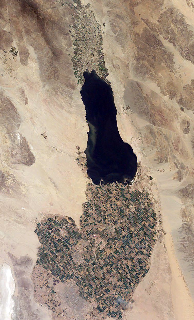
Big draw29 mi LakeSalton Sea
Big draw13 mi National ParkJoshua Tree National Park2.9M visitors a year
13 mi Stadium & arenaAcrisure Arena
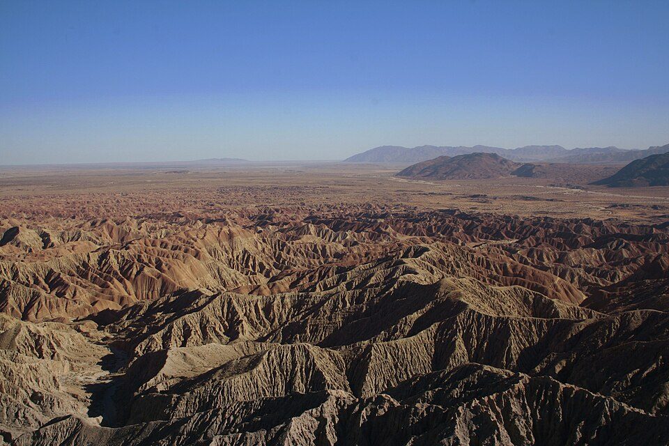
27 mi State parkAnza-Borrego Desert State Park
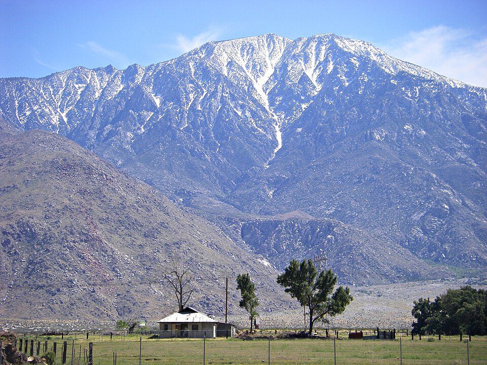
30 mi MountainSan Jacinto Peak19 mi LandmarkForest Lawn CemeterySalton Sea: NASA, Public domain · Joshua Tree National Park: Sergiy Galyonkin, CC BY-SA 4.0 · Acrisure Arena: TheAHL, CC BY 2.0 · Anza-Borrego Desert State Park: No machine-readable author provided. Miskatonic assumed (based on copyright clai, CC BY 2.5 · San Jacinto Peak: Wattewyl, CC BY 3.0
2 within 15 miles of the center of Vista Santa Rosa
About 2 of every 100 Vista Santa Rosa residents are enrolled in college, against 8 across California.
3 towns share a border with Vista Santa Rosa.
| Town | CA rank | Overall | Cost | Safety | Schools | Health |
|---|---|---|---|---|---|---|
| Vista Santa Rosa | — | — | C | — | C− | C− |
| Coachella | #619 | D | C | C | C+ | C− |
| La Quinta | #566 | D | D− | C | C+ | B |
| Indio | #577 | D | D | C+ | B | C |
Vista Santa Rosa has fewer than 2,500 residents, so it gets subject grades but no overall grade. Vista Santa Rosa reports no FBI crime data of its own. Compare Vista Santa Rosa with a neighbor →
Short answers, built from the data on this page.
The typical home is worth about $428,000, 44% below the California typical home. Cost of living, which also weighs rents, property taxes and how many households pay 30% or more of their income for housing, grades C.