
Clearing road of drifted sand near Thermal, Calif, 1926
Thermal’s story
124 years in pictures
The archive holds 8 old photos and papers going back to 1926 and 3 maps from 1941 on.
- 1902Thermal is settled
Each edition grades its towns against each other only.
A town of 1,800, settled in 1902.
Thermal’s best subject grades are a B+ for cost of living and walkability; its weakest is a D− for hazard risk. Thermal’s July high is 107°F, where California’s towns sit at 89°F and U.S. towns at 85°F. On cost of living, just 18 of California’s 1,058 towns do better. Residents are less healthy than 94% of U.S. towns on CDC estimates. Thermal has fewer than 2,500 residents, so it gets subject grades but no overall grade.
Where Thermal beats most towns, and one thing worth knowing.
Where Thermal’s working residents go each day. Line width shows the share.
Census LEHD 2023
Each subject compared with towns across the country (schools within California), ordered by how far Thermal is from typical.
How TownRatings grades towns →
The archive holds 8 old photos and papers going back to 1926 and 3 maps from 1941 on.
Museums, parks, gardens and other places to visit around Thermal. Close and well known come first.
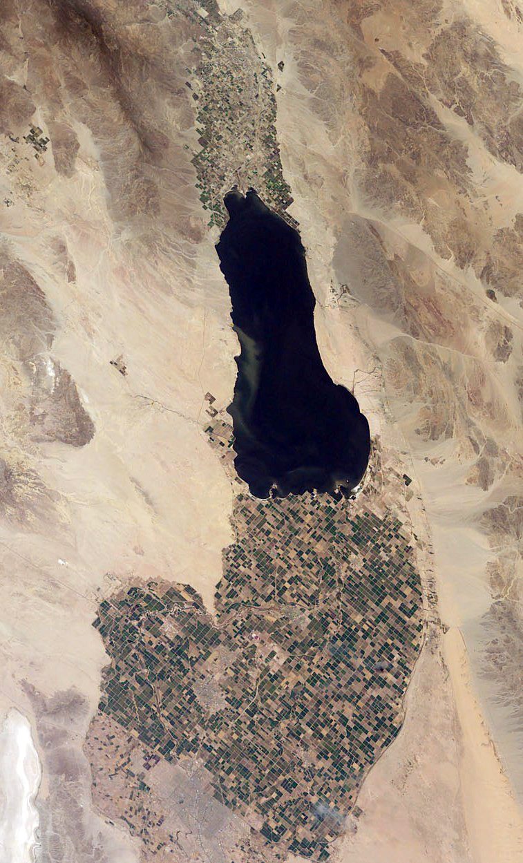 Big draw26 mi LakeSalton Sea
 Big draw9 mi National ParkJoshua Tree National Park2.9M visitors a year
 16 mi Stadium & arenaAcrisure Arena
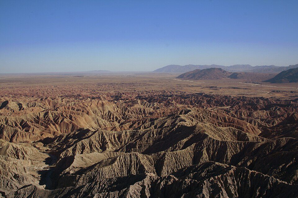 30 mi State parkAnza-Borrego Desert State Park
 40 mi MountainNiland Geyser
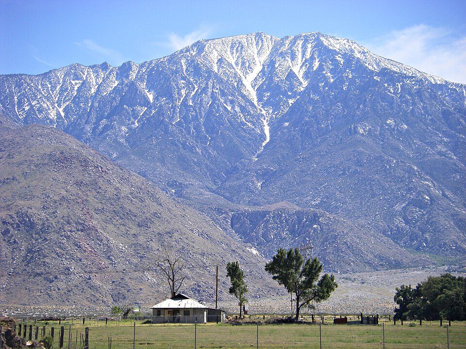 34 mi MountainSan Jacinto Peak
Salton Sea: NASA, Public domain · Joshua Tree National Park: Sergiy Galyonkin, CC BY-SA 4.0 · Acrisure Arena: TheAHL, CC BY 2.0 · Anza-Borrego Desert State Park: No machine-readable author provided. Miskatonic assumed (based on copyright clai, CC BY 2.5 · Niland Geyser: California Department of Transportation, Public domain · San Jacinto Peak: Wattewyl, CC BY 3.0
Thermal is unincorporated, so Riverside County and regional agencies provide most services.
EPA SDWIS (Oct 9, 2026) · HIFLD + EIA-861 2025 · Census 2020 ZCTAs · NCES 2024–25 · registration: vote.gov, updated Nov 18, 2024.
Ordered by what stands out in Thermal.
At $986 a month, Thermal’s median rent is below both California’s towns ($1,896 a month) and U.S. towns ($1,185 a month). 57% of households own their home in Thermal. The typical Thermal home is worth about $298,000, down 0.5% in a year, 61% below the California typical home.
| Thermal | California towns | U.S. towns | |
|---|---|---|---|
| Median rent | $986 a month | $1,896 a month | $1,185 a month |
| Households that own their home | 57% | 64% | 73% |
Census ACS, 2020–24 · Zillow Home Value Index · Redfin Data Center
Its public schools are run by the Coachella Valley Unified school district. Two of its 3 schools are below, each with why it’s listed.
| School | Level | Students | Letter |
|---|---|---|---|
| John Kelley ElementaryLargest public elementary schoolGrades K–6 | Grades K–6 | 505 | D |
| La Familia Continuation HighLargest public high schoolGrades 10–12 | Grades 10–12 | 254 | D− |
NCES · EDFacts · graded within CA on state tests and graduation
40% of Thermal adults say their health is fair or poor. Thermal beats the California average on 1 of 32 CDC measures and trails it on 22. 20% of Thermal adults report frequent physical distress.
| Thermal | California towns | U.S. towns | |
|---|---|---|---|
| Fair or poor health (CDC PLACES) | 40% | 22% | 19% |
| Frequent physical distress (CDC PLACES) | 20% | 14% | 14% |
| Get no exercise (CDC PLACES) | 42% | 24% | 25% |
| Food insecurity (CDC PLACES) | 43% | 16% | 14% |
| What stands out | Thermal | CA |
|---|---|---|
| Fewer adults who have had cancer | 3.7% | 6.4% |
| More uninsured adults | 29.1% | 10.6% |
CDC PLACES 2025 · modeled estimates for adults · CMS · HRSA
Most working residents leave Thermal for work: only 3% work in town. Thermal’s average trip to work is 22 minutes. Since 2013, Thermal has lost 857 jobs, to 1,615 in 2023.
| Thermal | California towns | U.S. towns | |
|---|---|---|---|
| Below the poverty line | 19% | 10% | 9.6% |
| Average trip to work | 22 minutes | 28 minutes | 25 minutes |
| Working residents who work in town | 3.1% | 6.6% | 8% |
Census LEHD 2023 · ACS
Expected storm and flood damage is higher than in 98% of U.S. communities.
FEMA National Risk Index · OpenFEMA
Thermal has warm winters and scorching summers, with very little rain. The January low in Thermal is 43°F.
NOAA U.S. Climate Normals, 1991–2020
| Thermal | California towns | U.S. towns | |
|---|---|---|---|
| Conserved land | 0.1% | 4.3% | 4.3% |
| Miles of trail per square mile | 1.0 miles per square mile | 1.0 | 0.4 |
Trails & parks © OpenStreetMap contributors · Conserved land: USGS PAD-US
None within 15 miles of Thermal; the nearest are
About 1 of every 100 Thermal residents are enrolled in college, against 8 across California.
Resort community in Riverside County, Southern California, United States
Thermal is an unincorporated community within the Coachella Valley in Riverside County, California, United States, located approximately 25 miles (40 km) southeast of Palm Springs and about 9.5 miles (15.3 km) north of the Salton Sea. The community's elevation is 138 feet (42 m) below mean sea level. It is served by area codes 760 and 442 and is in ZIP Code 92274. The population was 2,676 at the 2020 census. For statistical purposes, the United States Census Bureau has defined Thermal a census-designated place (CDP), which does not precisely correspond to the historical community.
From Wikipedia, licensed CC BY-SA 4.0 · facts via Wikidata (CC0)
One town shares a border with Thermal.
Thermal has fewer than 2,500 residents, so it gets subject grades but no overall grade. Thermal reports no FBI crime data of its own. Compare Thermal with a neighbor →
Short answers, built from the data on this page.
Not for the area. Cost of living, which also weighs rents, property taxes and how many households pay 30% or more of their income for housing, grades B+.


