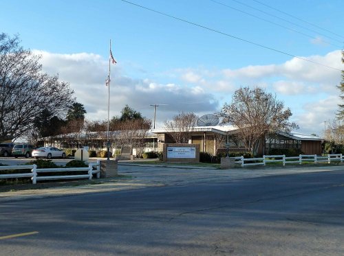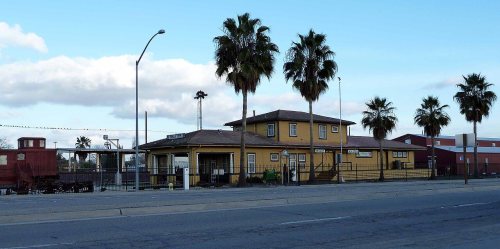
128 years in pictures
Census counts: 1,258 in 1940, 19,953 in 2020. The archive holds 17 old photos and papers going back to 1899 and 3 maps from 1948 on.
3 places on the National Register of Historic Places.
- 1898Shafter is settled
Each edition grades its towns against each other only.

Shafter grades D− overall, ranked 713th of 841 in California, mostly because of health. Residents are less healthy than 86% of U.S. towns on CDC estimates. One bright spot: it is more walkable than 63% of U.S. towns. Shafter’s July high is 99°F, against 89°F in California’s towns and 85°F across U.S. towns. On hazard risk, just 92 of California’s 1,064 towns do better. Shafter's civic life (library use, community groups, volunteering) trails 98% of U.S. towns.
Where Shafter beats most towns.
16,988 counted in 2010 and 19,953 in 2020; an estimated 23,871 in 2025.
Growth hasn’t slowed: 19.7% since 2020, after 17.5% in the decade before.
U.S. Census 2010 & 2020 counts · Census Bureau estimate, July 1, 2025
Each subject compared with towns across the country (schools within California), ordered by how far Shafter is from typical.
How TownRatings grades towns →
Census counts: 1,258 in 1940, 19,953 in 2020. The archive holds 17 old photos and papers going back to 1899 and 3 maps from 1948 on.
3 places on the National Register of Historic Places.
Who provides power, water and the rest in Shafter, and how to reach them.
EPA SDWIS (Oct 9, 2026) · HIFLD + EIA-861 2025 · Census 2020 ZCTAs · NCES 2024–25 · registration: vote.gov, updated Nov 18, 2024.
Ordered by what stands out in Shafter.
Shafter carries less natural-hazard risk than most of California (mostly earthquakes), draws workers from Bakersfield and beyond and has more 90° days than nearly all U.S. towns.
73 miles of trail in 12 parks and preserves. The trail density in Shafter is 1.9 miles per square mile.
| Shafter | California towns | U.S. towns | |
|---|---|---|---|
| Miles of trail per square mile | 1.9 miles per square mile | 1.0 | 0.4 |
| Conserved land | 0.2% | 4.3% | 4.3% |
| Biggest places to walk | Trails | Acres |
|---|---|---|
| 1. Veterans Park | 0.2 mi | 16 |
| 2. Community Park | — | 10 |
| 3. Mannel Park | — | 7 |
Trails & parks © OpenStreetMap contributors · Conserved land: USGS PAD-US
Its public schools are run by the Richland Union Elementary school district. Two of its 8 schools are below, each with why it’s listed. The largest public high school is Shafter High, with 1,599 students.
| School | Level | Students | Letter |
|---|---|---|---|
| Golden Oak ElementaryLargest public elementary schoolGrades K–6 | Grades K–6 | 717 | C− |
| Shafter HighLargest public high schoolGrades 9–12 | Grades 9–12 | 1,599 | A |
NCES · EDFacts · graded within CA on state tests and graduation
11,674 jobs are based in Shafter, 1.7 for every working resident, so most of the people who work here commute in. Jobs based here grew from 5,490 in 2013 to 11,674.
Most working residents leave Shafter for work: only 17% work in town. 21% of residents live below the poverty line in Shafter. Jobs based in Shafter grew to 11,674 in 2023, 6,184 more than in 2013.
| Shafter | California towns | U.S. towns | |
|---|---|---|---|
| Below the poverty line | 21% | 10% | 9.6% |
| Work from home | 4.4% | 14% | 11% |
| Working residents who work in town | 17% | 6.6% | 8% |
| Average trip to work | 23 minutes | 28 minutes | 25 minutes |
Census LEHD 2023 · ACS
The typical Shafter home is worth about $385,000, up 0.7% in a year, 49% below the California typical home. Shafter’s median rent is $1,253 a month.
| Shafter | California towns | U.S. towns | |
|---|---|---|---|
| Median rent | $1,253 a month | $1,898 a month | $1,185 a month |
| Households that own their home | 65% | 64% | 73% |
Census ACS, 2020–24 · Zillow Home Value Index · Redfin Data Center
32% of Shafter adults say their health is fair or poor. Shafter beats the California average on 3 of 32 CDC measures and trails it on 18. 35% of Shafter adults worry about having enough food.
| Shafter | California towns | U.S. towns | |
|---|---|---|---|
| Fair or poor health (CDC PLACES) | 32% | 22% | 19% |
| Food insecurity (CDC PLACES) | 35% | 16% | 14% |
| No health insurance, 18–64 (CDC PLACES) | 23% | 9% | 8.1% |
| Yearly checkup (CDC PLACES) | 68% | 72% | 79% |
| What stands out | Shafter | CA |
|---|---|---|
| Fewer adults who have had cancer | 4.2% | 6.4% |
| Fewer adults with high cholesterol | 30.9% | 35.4% |
| More uninsured adults | 23.4% | 10.6% |
CDC PLACES 2025 · modeled estimates for adults · CMS · HRSA
Reported crimes fell from 570 to 360 over the last three FBI years, a drop beyond ordinary year-to-year swings.
Within California, it does better than 54% of towns.
| Shafter | California towns | U.S. towns | |
|---|---|---|---|
| Violent crimes per 1,000 (2025) | 3.2 per 1,000 residents | 2.9 | 1.6 |
| Property crimes per 1,000 (2025) | 12.1 per 1,000 residents | 13.4 | 9.9 |
FBI crime data, 2025 · crimes reported to police
The Bakersfield Ap weather station, 9 miles away, records that about 112 days a year reach 90°, more than in 97% of U.S. towns. July afternoons average 98.8°, hotter than in 99% of U.S. towns; January nights average 39.7°.
Shafter has mild winters and hot summers, with very little rain. Snow is almost unheard of.
NOAA U.S. Climate Normals, 1991–2020
FEMA rates its natural-hazard risk lower than 89% of California towns, with expected losses of about $352 per resident a year; that rating is what its C+ for hazard risk is built on.
FEMA National Risk Index · OpenFEMA
Museums, parks, gardens and other places to visit around Shafter. Close and well known come first.
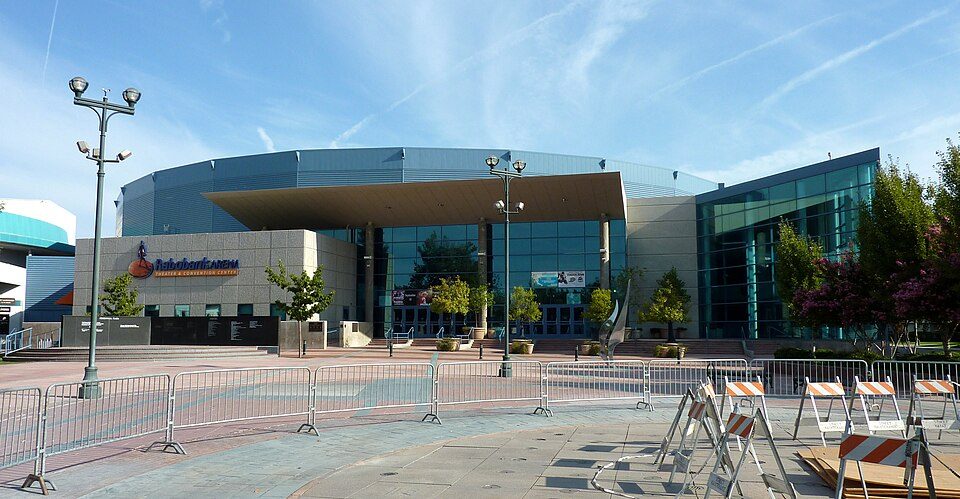
13 mi Stadium & arenaDignity Health Arena
40 mi National MonumentCésar E. Chávez National Monument31K visitors a year
12 mi MuseumKern County Museum85K visitors a year18 mi Zoo & aquariumCalifornia Living Museum
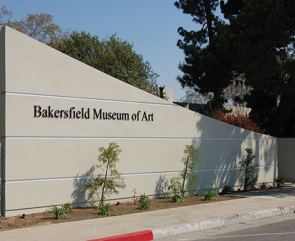
13 mi MuseumBakersfield Museum of Art13 mi GardenPatriots ParkDignity Health Arena: Bobak Ha'Eri, CC BY 3.0 · César E. Chávez National Monument: Bobak Ha'Eri, CC BY 3.0 · Kern County Museum: (WT-de) Mistoffeles, CC BY-SA 4.0 · Bakersfield Museum of Art: Skyman9999. Skyman9999, CC0
3 within 15 miles of the center of Shafter
About 7 of every 100 Shafter residents are enrolled in college, about the same as California.
Where Shafter’s working residents go each day. Line width shows the share.
Census LEHD 2023
3 places in Shafter on the National Register of Historic Places.
City in California, United States
Shafter is a city in Kern County, California, United States. It is located 18 miles (29 km) west-northwest of Bakersfield. The population was 19,953 at the 2020 census, up from 16,988 at the 2010 census. The city is located along State Route 43. Suburbs of Shafter include Myricks Corner, North Shafter, Smith Corner, and Thomas Lane.
From Wikipedia, licensed CC BY-SA 4.0 · facts via Wikidata (CC0)
Short answers, built from the data on this page.
Shafter grades D− overall, better than 5% of U.S. towns and #713 of 841 in California. It grades D for health, C for safety and C+ for schools. Health is its weak spot, with a D.
Within California, it does better than 54% of towns.
Yes. Cost of living, which also weighs rents, property taxes and how many households pay 30% or more of their income for housing, grades C−.
2 notable people were born here, including Dean Florez and Mary Margaret Revell.