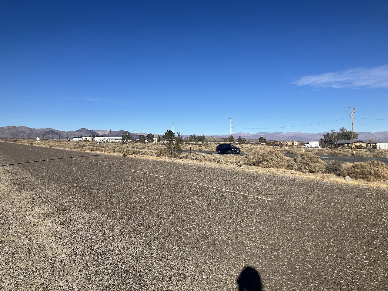
PearsonvilleCA
The town has 17 residents and lies in California.
Is Pearsonville a good place to live?
Pearsonville’s typical July afternoon high is 101°F, where California’s towns sit at 89°F and U.S. towns at 85°F. Of the 848 California towns we compare, none has a higher owner-occupancy rate than Pearsonville. Pearsonville’s trail network density is 3.2 miles per square mile, where California’s towns sit at 1.0 and U.S. towns at 0.4. Pearsonville has fewer than 1,000 residents, too few for fair grades; the figures below are still real.
17 people, and everyone knows the way
In a town this size, neighbors are the best guide. Ask them anything.
The data
Ordered by what stands out in Pearsonville.
High risk in Pearsonville, with avalanches at the top
Compared with 79% of U.S. communities, expected storm and flood damage in Pearsonville is higher. FEMA puts 37% of the town’s expected hazard losses down to avalanches, and 26% to heat waves.
FEMA National Risk Index · OpenFEMA
Pearsonville has mild winters and hot summers
July afternoons reach 101°, January nights drop to 34° and snow is almost unheard of.
Typical low → high °F
NOAA U.S. Climate Normals, 1991–2020
How healthy Pearsonville is
In Pearsonville, 78% of adults had a checkup this year. On the CDC’s 32 measures, Pearsonville is ahead of California on 12 and behind on 11.
| Pearsonville | Typical California town | Typical U.S. town | |
|---|---|---|---|
| Feel lonely (CDC PLACES) | 31% | 36% | 33% |
| High blood pressure (CDC PLACES) | 39% | 31% | 35% |
| Yearly checkup (CDC PLACES) | 78% | 72% | 79% |
| Diabetes (CDC PLACES) | 13% | 12% | 12% |
| What stands out | Pearsonville | CA |
|---|---|---|
| Fewer uninsured adults | 5.8% | 10.6% |
| Fewer adults facing food insecurity | 11.8% | 17.9% |
| More adults who have had cancer | 11.1% | 6.4% |
CDC PLACES 2025 · modeled estimates for adults · CMS · HRSA
Trails & parks © OpenStreetMap contributors · Conserved land: USGS PAD-US
Everything we know about Pearsonville
Moving to Pearsonville: who provides what
Pearsonville is unincorporated, so Inyo County and regional agencies provide most services.
EPA SDWIS (Oct 9, 2026) · HIFLD + EIA-861 2025 · Census 2020 ZCTAs · NCES 2024–25 · registration: vote.gov, updated Nov 18, 2024.
Colleges nearby
None within 15 miles of Pearsonville; the nearest are
About 0 of every 100 Pearsonville residents are enrolled in college, against 8 across California.
About Pearsonville
Place in California, United States
Pearsonville is a census-designated place (CDP) in Inyo County, California, United States, along U.S. Route 395. The population was 8 at the 2020 census, down from 17 at the 2010 census.
From Wikipedia, licensed CC BY-SA 4.0 · facts via Wikidata (CC0)
- Area
- 4.2 sq mi
- Elevation
- 2,513 ft
Questions about Pearsonville
Short answers, built from the data on this page.
Is Pearsonville, CA a good place to live?
Pearsonville has fewer than 1,000 residents, too few for fair grades; the figures below are still real.
Say something about Pearsonville.
Ask a question, answer one, post a photo or an event. Free, and the parts only a neighbor would know are the parts worth reading.