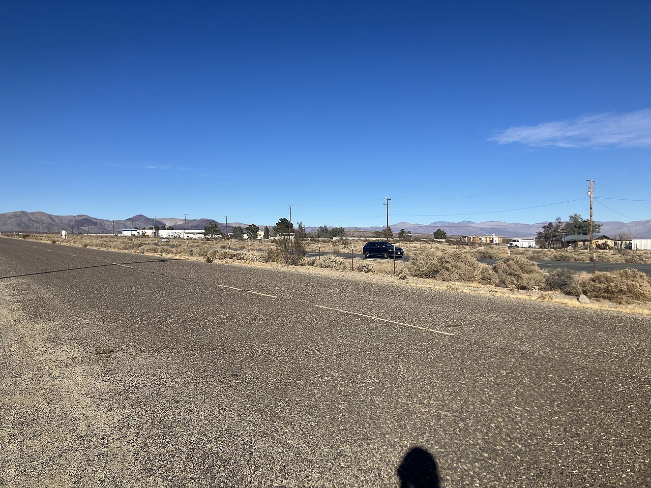
 Photo: Aiden GoodarziRad · CC BY-SA 4.0
There are 3.5 jobs in Pearsonville for every working resident, and 14 people commute in
Hardly any work in Pearsonville; the top destination outside it is Clovis (25%, 122 miles). There are 14 jobs in Pearsonville; 4 of its residents have a job. Home is the office for 0% of workers, where California as a whole has 17%.
Census ACS 2020–24, Census LEHD 2023, EPA Smart Location Database. How the two grades are made
Who works in Pearsonville, and who works elsewhere
On a workday 4 residents head out to work and none work right here.
About 27 people are in Pearsonville on a workday afternoon, 59% more than live here.
3.5 jobs for every working resident, so more people commute in than out.
Workday population = residents − those who work elsewhere + those who come in (the Census “commuter-adjusted” method). Residents: Census survey; commuters: LEHD 2023, primary jobs.
The daily trip into Pearsonville
Where Pearsonville clocks in
 25% of workers
 25% of workers
Lines run between town centers. The top 10 towns each way; “Everywhere else” is the rest, including other states.
A thicker line means more commuters. Switch between where residents work and where the people who work here live.
What Pearsonville’s employers do
What kind of work
What it pays
Who does it
Jobs based in Pearsonville, 2013 → 2023: 17 → 14. Big swings can come from how a large employer reports its locations, not only from real openings or closings.
Primary jobs covered by unemployment insurance (not the self-employed). Pay is monthly earnings. LEHD 2023.
Here is what they are, next to the jobs Pearsonville’s own residents hold wherever they work.
Working from home in Pearsonville
of Pearsonville workers work from home, vs 17% across California. Their commute is the hallway.
Share of the 9 commuters (the 0% who work from home are left out). Across California: 79% drive alone, 3% take transit; U.S.: 81% and 4%. Census ACS 2020–24.
From the Census survey of workers who don’t work from home.
How far Pearsonville goes to work
About 100% show a job over 50 miles away. Some of that is real, and some is employers that report every worker at a head office, so a few long commutes are on paper only.
Straight-line distance from each worker’s home block to their main job’s block. LEHD 2023.
Every working resident’s trip, home to work, as the crow flies. Roads add to it, so real drives run longer.
What this data can and can’t tell you
- Two sources, two years. Trips, distances and jobs based here: Census LEHD 2023, primary jobs, where the employer reports them. Income, poverty, unemployment, commute time and how people travel: Census ACS 2020–24 averages.
- Straight lines, older transit. Miles are as the crow flies. EPA’s walkability and transit files use 2017–20 inputs.
Jobs and commuting in Pearsonville: questions
What is the poverty rate in Pearsonville?
0.0%, against 12.0% across California and 12.5% nationally (Census ACS 2020–24).
Where do people who live in Pearsonville work?
0% work in town. The top destinations elsewhere are Clovis (25%, 122 mi), Fresno (25%, 126 mi), Lone Pine (25%, 53 mi) (Census LEHD 2023).
Can you get around Pearsonville without a car?
0% of commuters take transit and 0% of households have no car. EPA has no transit data for this county.
Commuter talk
Getting to work from Pearsonville, from the people who make the trip.
More of Pearsonville
Flows, distances and jobs: U.S. Census Bureau, LEHD Origin-Destination Employment Statistics (LODES 8), 2023, primary jobs. Commute time, working from home and working out of state: U.S. Census Bureau, American Community Survey 5-year estimates. Distances are straight lines between home and work; real drives run longer.