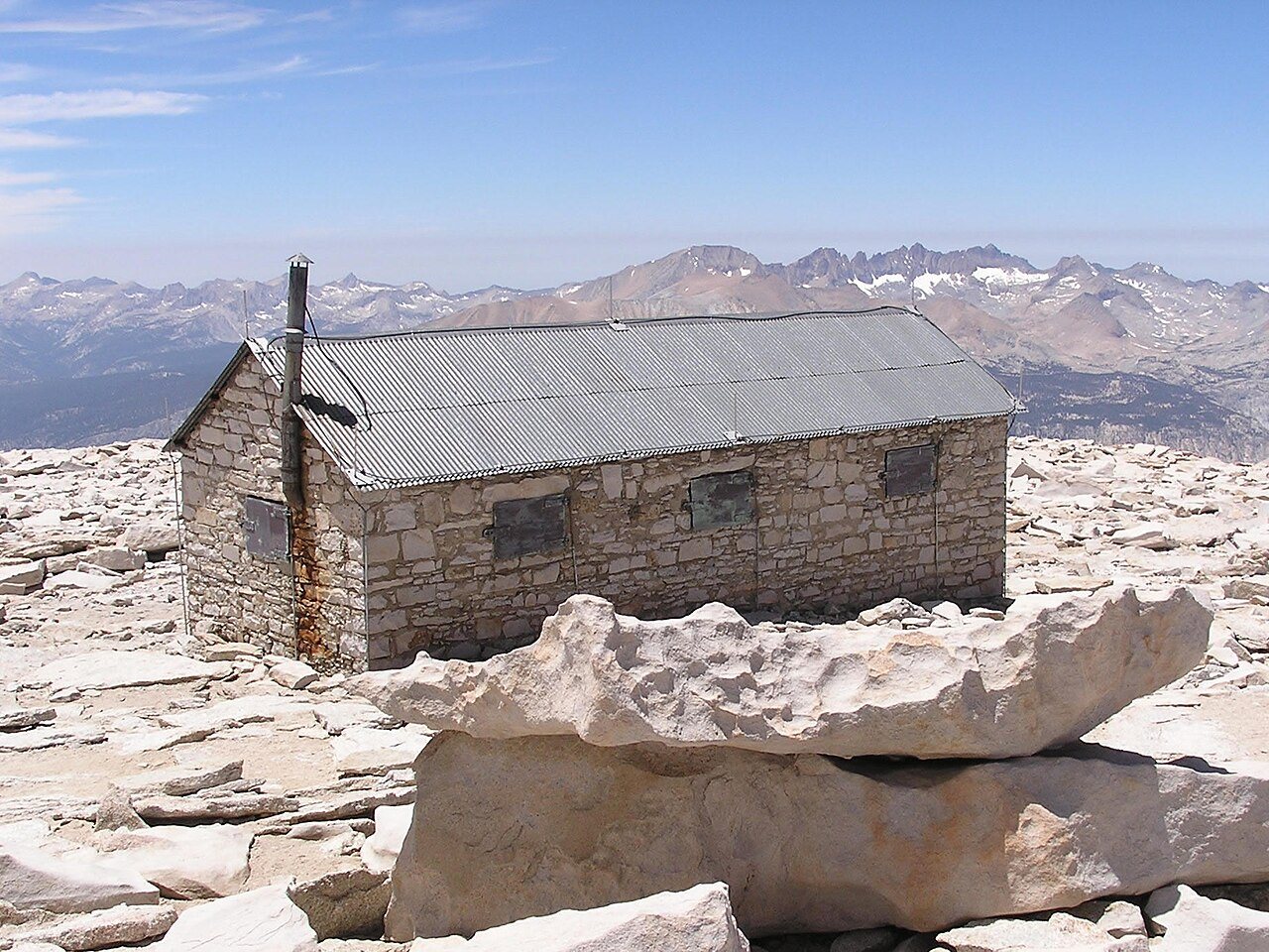
Lone PineCA
A town of 1,439, settled in 1870.
Is Lone Pine a good place to live?
Lone Pine’s best subject grade is an A+ for the outdoors; its weakest is a D− for incomes. Lone Pine’s typical journey to work is 11 minutes, below both California’s towns (28 minutes) and U.S. towns (25 minutes). On incomes, just 13 of California’s 1,056 towns do worse. FEMA rates its natural-hazard risk higher than 79% of U.S. communities, with avalanches at the top. 61% of the land in Lone Pine is conserved, above both California’s towns (4.3%) and U.S. towns (4.3%). Only 6 of California’s 1,064 towns score higher on the outdoors. Alabama Hills National Scenic Area, at 1,125 acres with 8.2 miles of trail, is the biggest park or preserve. Lone Pine has fewer than 2,500 residents, so it gets subject grades but no overall grade.
1,439 people, and everyone knows the way
In a town this size, neighbors are the best guide. Ask them anything.
How Lone Pine grades
Each subject compared with towns across the country (schools within California), ordered by how far Lone Pine is from typical.
How TownRatings grades towns →
Mount Whitney and 10 more within 40 miles
Museums, parks, gardens and other places to visit around Lone Pine. Close and well known come first.
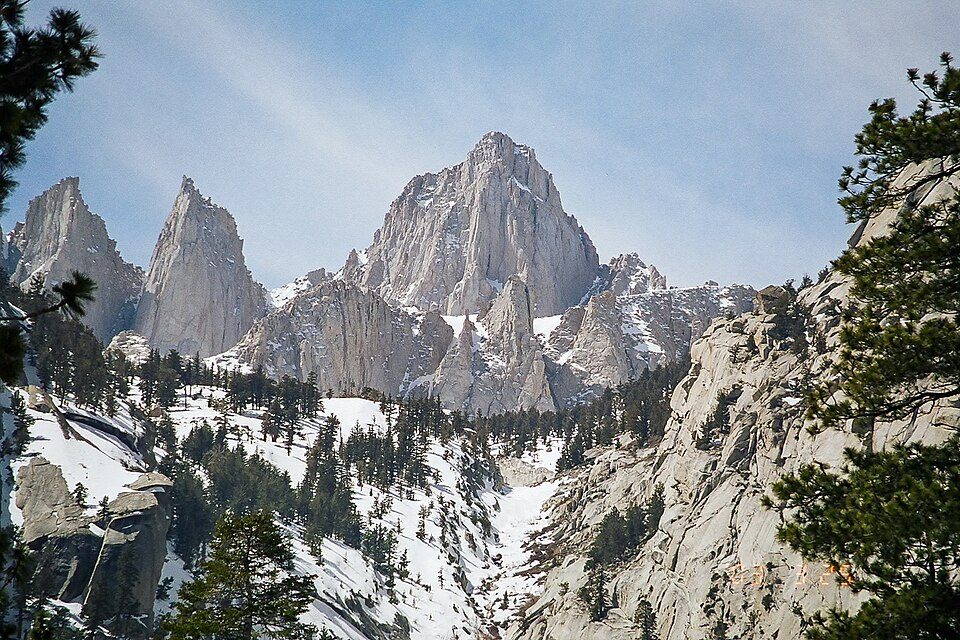 Big draw12 mi MountainMount Whitney
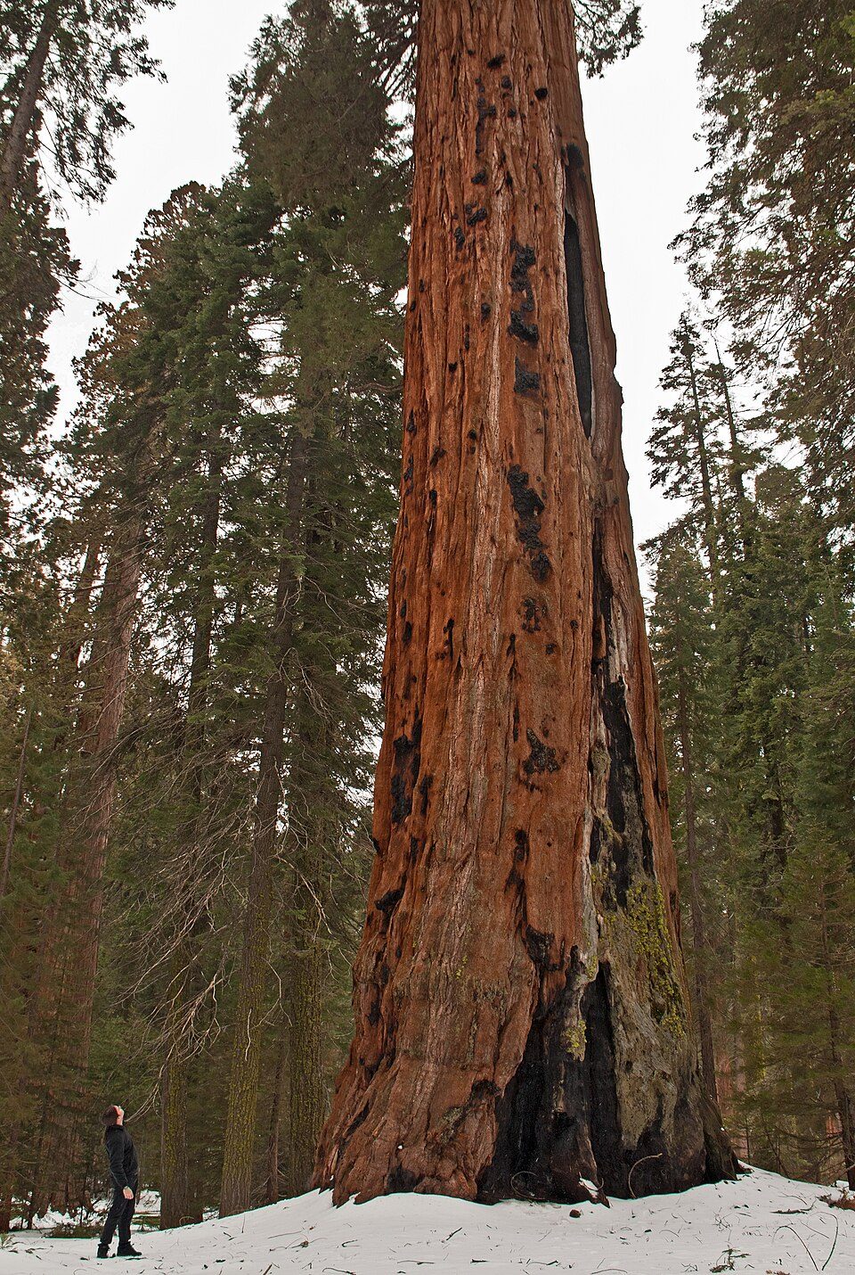 Big draw10 mi National ParkSequoia National Park1.4M visitors a year
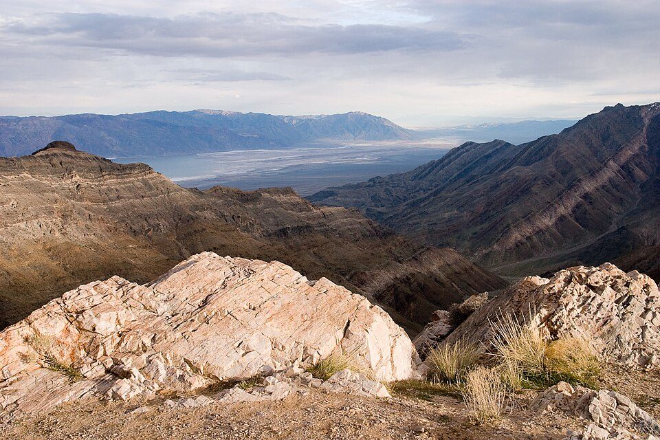 Big draw15 mi National ParkDeath Valley National Park1.3M visitors a year
 11 mi National Historic SiteManzanar National Historic Site96K visitors a year
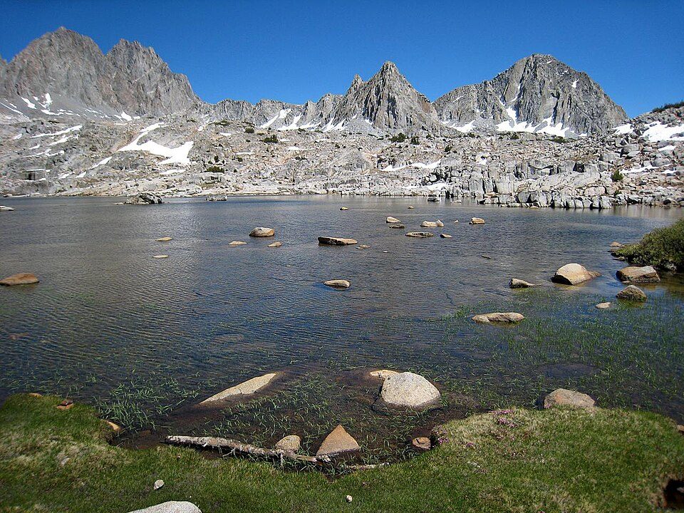 17 mi National ParkKings Canyon National Park780K visitors a year
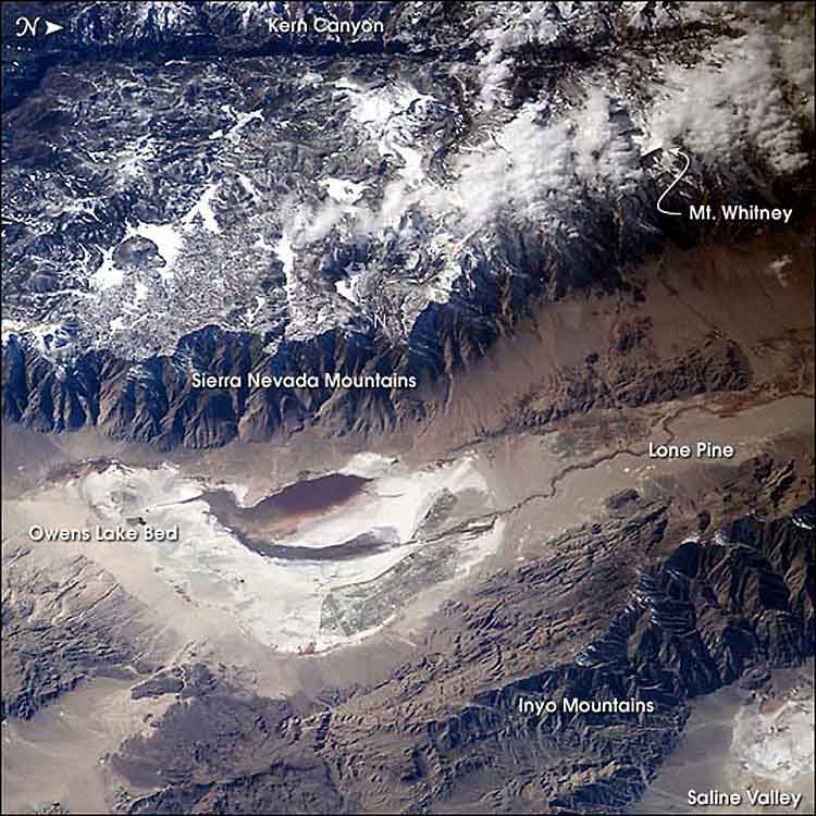 12 mi LakeOwens Lake
Photo credits
Mount Whitney: Geographer (talk · contribs), CC BY 1.0 · Sequoia National Park: Alberto Carrasco Casado, CC BY 2.0 · Death Valley National Park: Greg Willis from Denver, CO, usa, CC BY-SA 2.0 · Manzanar National Historic Site: Dorothea Lange, Public domain · Kings Canyon National Park: NileGuide.com (Josh Steinitz), CC BY 2.0 · Owens Lake: Picture prepared for Wikipedia by Adrian Pingstone in November 2003., Public domain


Moving to Lone Pine: who provides what
Lone Pine is unincorporated, so Inyo County and regional agencies provide most services.
EPA SDWIS (Oct 9, 2026) · HIFLD + EIA-861 2025 · Census 2020 ZCTAs · NCES 2024–25 · registration: vote.gov, updated Nov 18, 2024.
The data
Ordered by what stands out in Lone Pine.
Nearly a third of Lone Pine is conserved land
74 miles of trail wind through 3 parks and preserves. Lone Pine’s density of trails comes in at 3.9 miles per square mile.
| Biggest places to walk | Trails | Acres |
|---|---|---|
| 1. Alabama Hills National Scenic Area | 8.2 mi | 1,125 |
| 2. Diaz Lake Recreation Area | 0.1 mi | 141 |
| 3. Spainhower Park | — | 4 |
Trails & parks © OpenStreetMap contributors · Conserved land: USGS PAD-US
Lone Pine’s public schools outperform 53% of California districts
Its public schools are run by the Lone Pine Unified school district. Two of its 3 schools are below, each with the reason it’s listed. 2 public schools serve Lone Pine, with 283 students in all.
| School | Level | Students | Letter |
|---|---|---|---|
| Lo-Inyo ElementaryLargest public elementary schoolGrades K–8 | Grades K–8 | 197 | B |
| Lone Pine HighLargest public high schoolGrades 9–12 | Grades 9–12 | 86 | C− |
NCES · EDFacts · graded within CA on state tests and graduation
Lone Pine stands out in California and nationally: the median household income there is lower
Lone Pine: 25% of residents live below the poverty line. Employers in Lone Pine shed 288 jobs between 2013 and 2023, to 706. Roughly one working resident in three has a job in Lone Pine itself. The top destinations are Olancha (4%), Independence (4%) and Fresno (3%).
| Lone Pine | California towns | U.S. towns | |
|---|---|---|---|
| Below the poverty line | 25% | 10% | 9.6% |
| Working residents who work in town | 30% | 6.6% | 8% |
| Median household income | $43,000 | $95,000 | $80,000 |
Where working residents work
Census LEHD 2023 · ACS
Compared with most of California and the rest of the country, the median rent in Lone Pine is lower
48% of households own their home in Lone Pine. Zillow values the typical Lone Pine home at about $382,000, up 3.8% in a year, 50% below the California typical home.
| Lone Pine | California towns | U.S. towns | |
|---|---|---|---|
| Median rent | $797 a month | $1,896 a month | $1,185 a month |
| Households that own their home | 48% | 64% | 73% |
Typical home value
Census ACS, 2020–24 · Zillow Home Value Index · Redfin Data Center
Lone Pine faces a high natural-hazard risk, led by avalanches
37% of Lone Pine’s expected losses from natural hazards come from avalanches, followed by heat waves at 26%.
FEMA National Risk Index · OpenFEMA
Typical low → high °F
NOAA U.S. Climate Normals, 1991–2020
On CDC estimates, Lone Pine is less healthy than 59% of U.S. towns
The share of adults 18 to 64 in Lone Pine who have no health insurance: 11%. Of 32 CDC measures, Lone Pine beats the California average on 3 and trails it on 9. Among adults in the town, 16% report frequent physical distress and 25% say their health is fair or poor.
| Lone Pine | California towns | U.S. towns | |
|---|---|---|---|
| Diabetes (CDC PLACES) | 15% | 12% | 12% |
| Frequent physical distress (CDC PLACES) | 16% | 14% | 14% |
| Fair or poor health (CDC PLACES) | 25% | 22% | 19% |
| High blood pressure (CDC PLACES) | 37% | 31% | 35% |
| What stands out | Lone Pine | CA |
|---|---|---|
| More adults screened for colon cancer | 64% | 57.5% |
| More adults treating high blood pressure | 76% | 71.3% |
| More adults with heart disease | 8.4% | 5.6% |
CDC PLACES 2025 · modeled estimates for adults · CMS · HRSA
Everything we know about Lone Pine
Colleges nearby
None within 15 miles of Lone Pine; the nearest are
About 2 of every 100 Lone Pine residents are enrolled in college, against 8 across California.
Every workday, about 568 people come to Lone Pine for work
Where Lone Pine’s working residents go each day. Line width shows the share.
Census LEHD 2023
Questions about Lone Pine
Short answers, built from the data on this page.
Is Lone Pine, CA expensive?
Cost of living, which also weighs rents, property taxes and how many households pay 30% or more of their income for housing, grades B.