Greenfield in pictures
The archive holds 6 old photos and papers going back to 1939 and 4 maps from 1932 on.
Explore the history →Each edition grades its towns against each other only.
A town of 3,939.
Greenfield earns a D, ranked 630th of 841 in California, mostly because of health. CDC estimates put its residents' health behind 79% of the country. One bright spot: it is easier to get around on foot or by transit than 62% of U.S. towns. Greenfield’s July high is 99°F, above both the California town median (89°F) and the median of U.S. towns (85°F). Homes are expensive, about $247K for a typical one and 3.5 times the Bakersfield metro’s $70K median household income.
3,991 counted in 2010 and 3,447 in 2020.
U.S. Census 2010 & 2020 counts
Each subject compared with towns across the country (schools within California), ordered by how far Greenfield is from typical.
How TownRatings grades towns →

The archive holds 6 old photos and papers going back to 1939 and 4 maps from 1932 on.
Explore the history →Greenfield is unincorporated, so Kern County and regional agencies provide most services.
EPA SDWIS (Oct 9, 2026) · HIFLD + EIA-861 2025 · Census 2020 ZCTAs · NCES 2024–25 · registration: vote.gov, updated Nov 18, 2024.
Ordered by what stands out in Greenfield.
Greenfield has more 90° days than nearly all U.S. towns, but it has little public open land and has lost a quarter or more of its jobs in ten years.
19% of adults 18 to 64 have no health insurance in Greenfield. Greenfield beats the California average on 0 of 32 CDC measures and trails it on 18. 27% of adults worry about having enough food in Greenfield.
| Greenfield | California towns | U.S. towns | |
|---|---|---|---|
| No health insurance, 18–64 (CDC PLACES) | 19% | 9% | 8.1% |
| Food insecurity (CDC PLACES) | 27% | 16% | 14% |
| Fair or poor health (CDC PLACES) | 29% | 22% | 19% |
| Get no exercise (CDC PLACES) | 33% | 24% | 25% |
| What stands out | Greenfield | CA |
|---|---|---|
| More uninsured adults | 18.6% | 10.6% |
| More adults facing a utility shut-off | 11.3% | 7.3% |
| More older adults who have lost all their teeth | 16.1% | 10.6% |
CDC PLACES 2025 · modeled estimates for adults · CMS · HRSA
Its public schools are run by the Greenfield Union school district. Its one school is below.
| School | Level | Students | Letter |
|---|---|---|---|
| McKee MiddleLargest public middle schoolGrades 6–8 | Grades 6–8 | 869 | – |
NCES · EDFacts · graded within CA on state tests and graduation
Jobs based here fell from 534 in 2013 to 407.
Most working residents leave Greenfield for work: only 2% work in town. Jobs based in Greenfield fell to 407 in 2023, 127 fewer than in 2013. The median household income in Greenfield is $74,000.
| Greenfield | California towns | U.S. towns | |
|---|---|---|---|
| Working residents who work in town | 1.8% | 6.6% | 8% |
| Median household income | $74,000 | $95,000 | $80,000 |
| Below the poverty line | 12% | 10% | 9.6% |
| Average trip to work | 26 minutes | 28 minutes | 25 minutes |
Census LEHD 2023 · ACS
Expected storm and flood damage is higher than in 74% of U.S. communities.
FEMA National Risk Index · OpenFEMA
The Bakersfield Ap weather station, 12 miles away, records that about 112 days a year reach 90°, more than in 97% of U.S. towns. July afternoons average 98.7°, hotter than in 99% of U.S. towns; January nights average 40.4°.
Greenfield has warm winters and hot summers, with very little rain. Greenfield’s January low is 40°F. Snow is almost unheard of.
NOAA U.S. Climate Normals, 1991–2020
Just 4 of its 848 acres are conserved, so there is little public open land in Greenfield itself; its outdoors grade is C−.
| Biggest places to walk | Trails | Acres |
|---|---|---|
| 1. Greenfield Park | — | 4 |
Trails & parks © OpenStreetMap contributors · Conserved land: USGS PAD-US
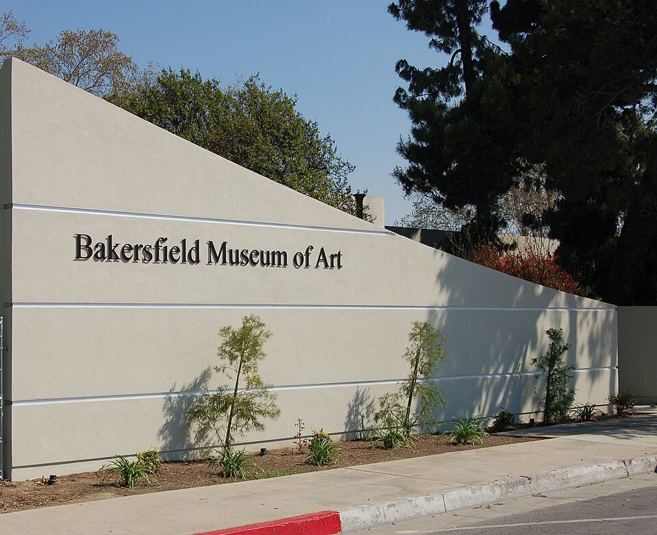
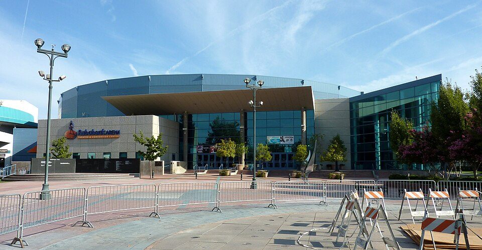
Museums, parks, gardens and other places to visit around Greenfield. Close and well known come first.
7 mi Stadium & arenaDignity Health Arena
28 mi MuseumFort Tejon
25 mi National MonumentCésar E. Chávez National Monument31K visitors a year
9 mi MuseumKern County Museum85K visitors a year13 mi Zoo & aquariumCalifornia Living Museum
7 mi MuseumBakersfield Museum of ArtDignity Health Arena: Bobak Ha'Eri, CC BY 3.0 · Fort Tejon: Yellowute at English Wikipedia, Public domain · César E. Chávez National Monument: Bobak Ha'Eri, CC BY 3.0 · Kern County Museum: (WT-de) Mistoffeles, CC BY-SA 4.0 · Bakersfield Museum of Art: Skyman9999. Skyman9999, CC0
3 within 15 miles of the center of Greenfield
About 4 of every 100 Greenfield residents are enrolled in college, against 8 across California.
Where Greenfield’s working residents go each day. Line width shows the share.
Census LEHD 2023
Census-designated place in California, United States
Greenfield (formerly, Delkern) is a census-designated place in Kern County, California. It is located 7 miles (11 km) south of Bakersfield, at an elevation of 351 feet (107 m). The population was 3,447 at the 2020 census. The Delkern post office was opened in 1949. That name derives from Kern Delta, a designation for the surrounding area.
From Wikipedia, licensed CC BY-SA 4.0 · facts via Wikidata (CC0)
One town shares a border with Greenfield.
| Town | CA rank | Overall | Cost | Safety | Schools | Health |
|---|---|---|---|---|---|---|
| Greenfield | #630 | D | C− | — | C+ | C− |
| Bakersfield | #780 | D− | D− | D | C | C |
Greenfield reports no FBI crime data of its own. Compare Greenfield with a neighbor →
Short answers, built from the data on this page.
Greenfield grades D overall, better than 9% of U.S. towns and #630 of 841 in California. It grades C− for health and C+ for schools. Health is its weak spot, with a C−.
Yes. Cost of living, which also weighs rents, property taxes and how many households pay 30% or more of their income for housing, grades C−.