Cherokee StripCA
A town in California, home to 118 people.
Is Cherokee Strip a good place to live?
30% of residents live below the poverty line in Cherokee Strip, above both the California town median (10%) and the median of U.S. towns (9.6%). Cherokee Strip has fewer than 1,000 residents, too few for fair grades; the figures below are still real.
118 people, and everyone knows the way
In a town this size, neighbors are the best guide. Ask them anything.
Moving to Cherokee Strip: who provides what
Cherokee Strip is unincorporated, so Kern County and regional agencies provide most services.
EPA SDWIS (Oct 9, 2026) · HIFLD + EIA-861 2025 · Census 2020 ZCTAs · NCES 2024–25 · registration: vote.gov, updated Nov 18, 2024.
The data
Ordered by what stands out in Cherokee Strip.
Cherokee Strip has 0.2 jobs per working resident, so most workers leave town for work
Half of commuters travel less than 15 miles. The top destinations are Bakersfield (36%), Delano (5%) and Shafter (5%).
Where working residents work
Census LEHD 2023 · ACS
High risk in Cherokee Strip, with earthquakes at the top
54% of Cherokee Strip’s expected losses from natural hazards come from earthquakes, followed by inland flooding at 28%. Compared with 77% of U.S. communities, expected storm and flood damage locally is higher.
FEMA National Risk Index · OpenFEMA
Expect mild winters and hot summers in Cherokee Strip
Cherokee Strip’s midsummer high is recorded as 99°F.
Typical low → high °F
NOAA U.S. Climate Normals, 1991–2020
How healthy Cherokee Strip is
For adults in Cherokee Strip, the share who report frequent mental distress is 20%. Against the California average, Cherokee Strip comes out ahead on 3 CDC measures out of 32, and behind on 16. Among adults here, 69% had a checkup this year and 29% say their health is fair or poor.
| Cherokee Strip | Typical California town | Typical U.S. town | |
|---|---|---|---|
| No health insurance, 18–64 (CDC PLACES) | 20% | 9% | 8.1% |
| Food insecurity (CDC PLACES) | 29% | 16% | 14% |
| Yearly checkup (CDC PLACES) | 69% | 72% | 79% |
| Fair or poor health (CDC PLACES) | 29% | 22% | 19% |
| What stands out | Cherokee Strip | CA |
|---|---|---|
| Fewer adults who have had cancer | 4.2% | 6.4% |
| Fewer adults with arthritis | 18% | 20.8% |
| More uninsured adults | 19.8% | 10.6% |
CDC PLACES 2025 · modeled estimates for adults · CMS · HRSA
Dignity Health Arena and 4 more within 40 miles
Museums, parks, gardens and other places to visit around Cherokee Strip. Close and well known come first.
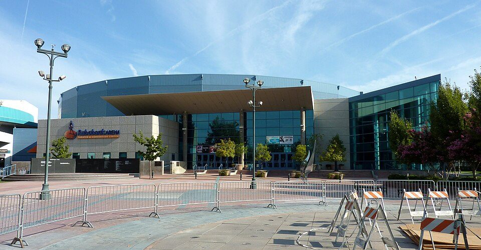 16 mi Stadium & arenaDignity Health Arena
 15 mi MuseumKern County Museum85K visitors a year21 mi Zoo & aquariumCalifornia Living Museum
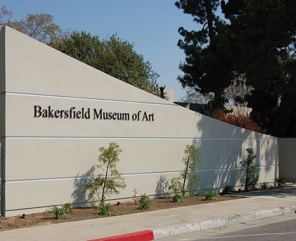 16 mi MuseumBakersfield Museum of Art14 mi City parkPatriots Park
Photo credits
Dignity Health Arena: Bobak Ha'Eri, CC BY 3.0 · Kern County Museum: (WT-de) Mistoffeles, CC BY-SA 4.0 · Bakersfield Museum of Art: Skyman9999. Skyman9999, CC0


Everything we know about Cherokee Strip
Colleges nearby
2 within 15 miles of the center of Cherokee Strip
About 0 of every 100 Cherokee Strip residents are enrolled in college, against 8 across California.
100% of working residents leave Cherokee Strip for work
Where Cherokee Strip’s working residents go each day. Line width shows the share.
Census LEHD 2023
About Cherokee Strip
Census-designated place in California, United States
Cherokee Strip is a census-designated place in Kern County, California. It is located 2.5 miles (4 km) south-southeast of Shafter, at an elevation of 331 feet (101 m). The population was 206 at the 2020 census.
From Wikipedia, licensed CC BY-SA 4.0 · facts via Wikidata (CC0)
- Area
- 0.1 sq mi
- Elevation
- 331 ft
Questions about Cherokee Strip
Short answers, built from the data on this page.
Is Cherokee Strip, CA a good place to live?
Cherokee Strip has fewer than 1,000 residents, too few for fair grades; the figures below are still real.