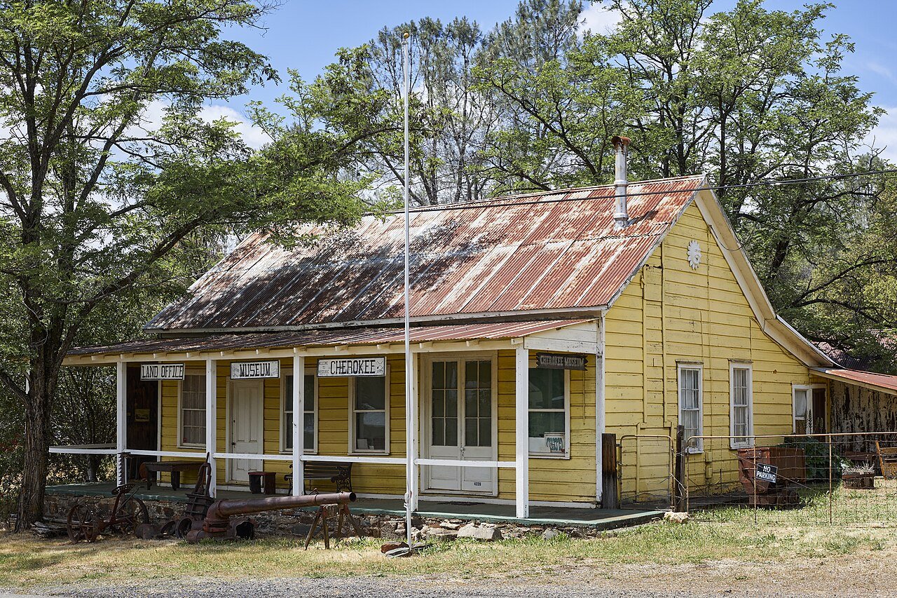
CherokeeCA
A town of 99, settled in 1854.
Is Cherokee a good place to live?
18% of the land in Cherokee is conserved, against 4.3% in California’s towns and 4.3% across U.S. towns. The biggest park or preserve is Lake Oroville State Recreation Area, at 224 acres. Cherokee has fewer than 1,000 residents, too few for fair grades; the figures below are still real.
99 people, and everyone knows the way
In a town this size, neighbors are the best guide. Ask them anything.
Moving to Cherokee: who provides what
Cherokee is unincorporated, so Butte County and regional agencies provide most services.
EPA SDWIS (Oct 9, 2026) · HIFLD + EIA-861 2025 · Census 2020 ZCTAs · NCES 2024–25 · registration: vote.gov, updated Nov 18, 2024.
The data
Ordered by what stands out in Cherokee.
Cherokee faces a very high natural-hazard risk, led by inland flooding
Storm and flood damage is expected to run higher than in 83% of U.S. communities. Three fifths of Cherokee’s expected losses from natural hazards come from inland flooding, followed by wildfires at 21%.
FEMA National Risk Index · OpenFEMA
| Biggest places to walk | Trails | Acres |
|---|---|---|
| 1. Lake Oroville State Recreation Area | — | 224 |
Trails & parks © OpenStreetMap contributors · Conserved land: USGS PAD-US
Four seasons and hot summers: that is Cherokee’s year
July afternoons reach 95° and January nights drop to 40°.
Typical low → high °F
NOAA U.S. Climate Normals, 1991–2020
Cherokee stands out in California and nationally, with more of its adults who smoke cigarettes
In Cherokee, 30% of adults get no exercise outside work. The share of adults in Cherokee who report frequent physical distress is 20%, above both the California town median (14%) and the median of U.S. towns (14%). CDC measures, 32 in all: Cherokee beats California on 1 and trails on 19. Only 9 of the 848 California towns we compare have a higher share of adults who have been diagnosed with depression than Cherokee.
| Cherokee | California towns | U.S. towns | |
|---|---|---|---|
| Smoke cigarettes (CDC PLACES) | 21% | 11% | 14% |
| Frequent physical distress (CDC PLACES) | 20% | 14% | 14% |
| Fair or poor health (CDC PLACES) | 31% | 22% | 19% |
| High blood pressure (CDC PLACES) | 42% | 31% | 35% |
| What stands out | Cherokee | CA |
|---|---|---|
| More adults treating high blood pressure | 75.2% | 71.3% |
| More older adults who have lost all their teeth | 27.6% | 10.6% |
CDC PLACES 2025 · modeled estimates for adults · CMS · HRSA
Oroville Dam and 5 more within 40 miles
Museums, parks, gardens and other places to visit around Cherokee. Close and well known come first.
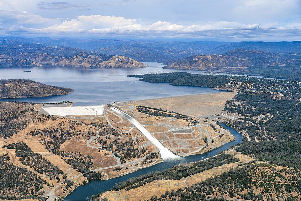 8 mi DamOroville Dam
 33 mi MountainSutter Buttes
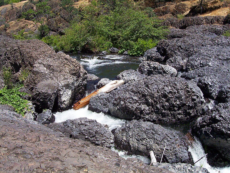 15 mi Park & preserveBidwell Park
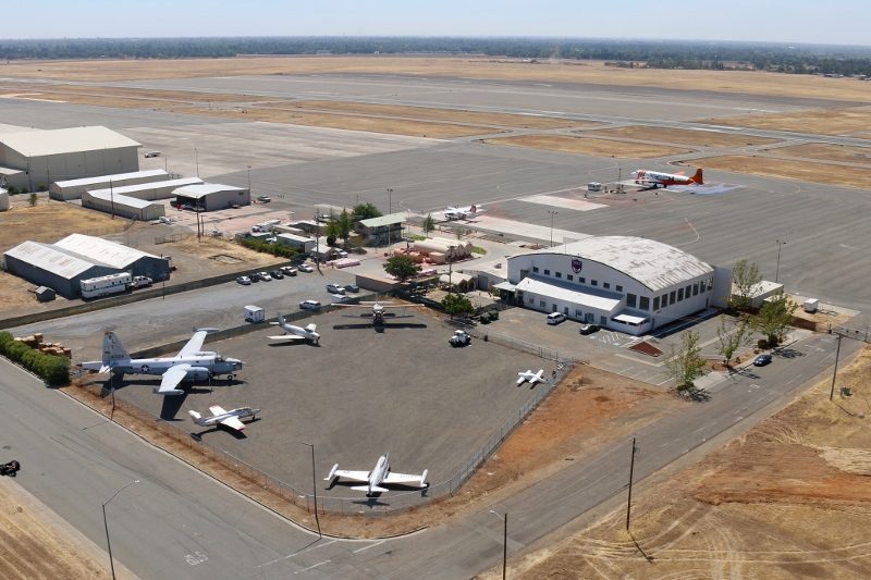 20 mi MuseumChico Air Museum
 38 mi TheatreNevada Theatre
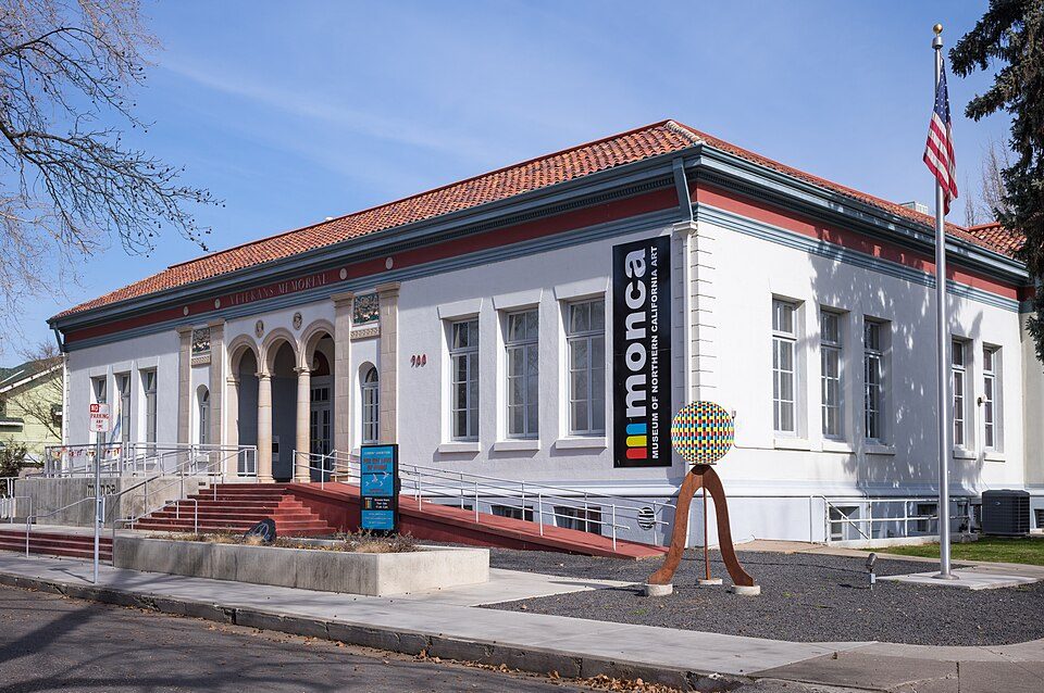 18 mi MuseumMuseum of Northern California Art
Photo credits
Oroville Dam: California Department of Water Resources, Public domain · Sutter Buttes: Expedition 32 crew/NASA, Public domain · Bidwell Park: Saopaulo1 at English Wikipedia, CC BY-SA 3.0 · Chico Air Museum: Bsudicky, CC BY-SA 4.0 · Nevada Theatre: Almonroth, CC BY-SA 3.0 · Museum of Northern California Art: Frank Schulenburg, CC BY-SA 4.0


Everything we know about Cherokee
Colleges nearby
1 within 15 miles of the center of Cherokee
About 0 of every 100 Cherokee residents are enrolled in college, against 8 across California.
About Cherokee
Unincorporated community in California, United States
Cherokee is an unincorporated community and census-designated place in Butte County, California, United States. It is an area inhabited by Maidu Indians prior to the gold rush, but takes its name from a band of Cherokee prospectors who perfected a mining claim on the site. The population was 88 at the 2020 census. It lies at an elevation of 1306 feet (398 m). Possibly the site of the historic gold mine, on the 1994 Cherokee, California 7.5-minute quadrangle, a feature named "Cherokee Placer Mine" exists about 0.65 miles southwest of the above coordinates. USGS identifies Cherokee Flat and Drytown as historic variant names for the community. The town is located on Cherokee Road off State Rou…
From Wikipedia, licensed CC BY-SA 4.0 · facts via Wikidata (CC0)
- Area
- 1.9 sq mi
- Elevation
- 1,306 ft
- Area code
- 530
Questions about Cherokee
Short answers, built from the data on this page.
Is Cherokee, CA a good place to live?
Cherokee has fewer than 1,000 residents, too few for fair grades; the figures below are still real.