137 years in pictures
Census counts: 1,848 in 1950, 9,938 in 2020. The archive holds 3 old photos and papers going back to 1900 and 6 maps from 1912 on.
5 places on the National Register of Historic Places.
- 1889Capitola is settled
Each edition grades its towns against each other only.

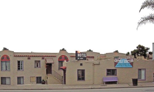
Capitola's standout: it is easier to get around on foot or by transit than 98% of U.S. towns. Overall it grades C+, ranked 305th of 841 in California. CDC estimates put its residents' health ahead of 76% of the country and its schools rank ahead of 76% of California towns. Its weakest subject is cost of living: the typical home is worth about $1.2 million, 11.1 years of the Santa Cruz metro’s $111K median household income. Capitola’s July high is 71°F, below both California’s towns (89°F) and U.S. towns (85°F). FEMA rates its natural-hazard risk higher than 90% of U.S. communities, with earthquakes at the top. Capitola has 5 places on the National Register of Historic Places, among them Venetian Court Apartments and Hihn Building.
Where Capitola beats most towns, and one thing worth knowing.
Each subject compared with towns across the country (schools within California), ordered by how far Capitola is from typical.
Its grades run from A+ for walkability (better than 98% of comparable towns) to D for cost of living (better than 5%), so the C+ overall blends very different results.
How TownRatings grades towns →
Census counts: 1,848 in 1950, 9,938 in 2020. The archive holds 3 old photos and papers going back to 1900 and 6 maps from 1912 on.
5 places on the National Register of Historic Places.
Museums, parks, gardens and other places to visit around Capitola. Close and well known come first.
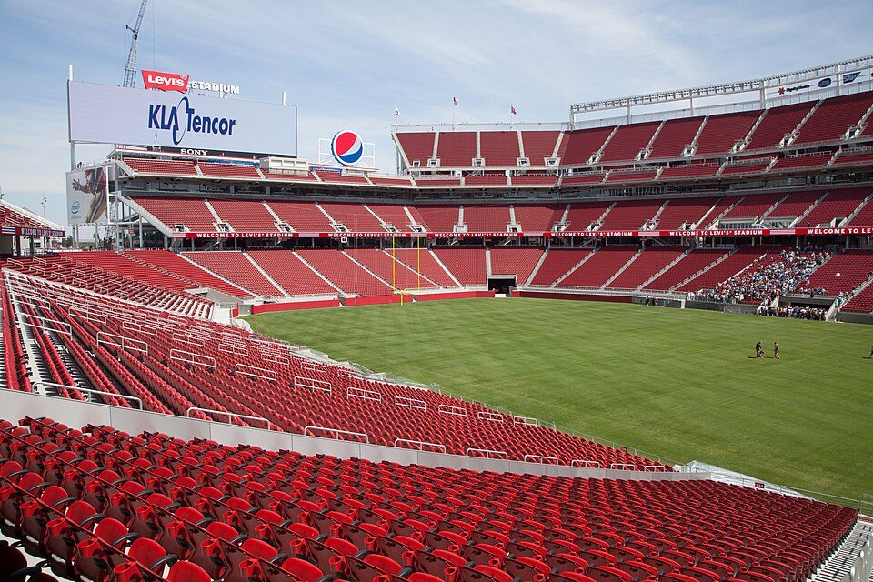
Big draw30 mi Stadium & arenaLevi's Stadium
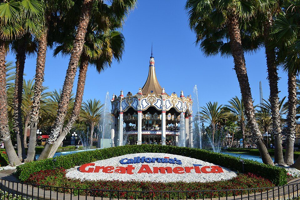
Big draw29 mi Theme parkCalifornia's Great America
4 mi Theme parkSanta Cruz Beach Boardwalk
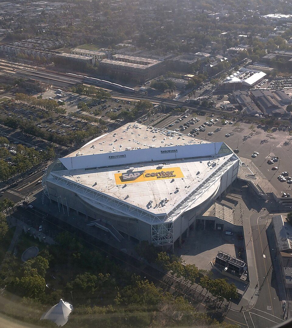
25 mi Stadium & arenaSAP Center
25 mi Zoo & aquariumMonterey Bay Aquarium
26 mi MuseumMonterey Museum of ArtLevi's Stadium: Matthew Roth, CC BY-SA 2.0 · California's Great America: Oleg Alexandrov, CC BY-SA 4.0 · Santa Cruz Beach Boardwalk: Josta Photo, CC BY 2.0 · SAP Center: Dicklyon, CC BY-SA 4.0 · Monterey Bay Aquarium: Meij.kobayashi, Public domain · Monterey Museum of Art: Sgerbic, CC BY-SA 4.0
Who provides power, water and the rest in Capitola, and how to reach them.
EPA SDWIS (Oct 9, 2026) · HIFLD + EIA-861 2025 · Census 2020 ZCTAs · NCES 2024–25 · registration: vote.gov, updated Nov 18, 2024.
Ordered by what stands out in Capitola.
Capitola has a longer frost-free season than nearly all U.S. towns, but it has seen reported crime rise by about half and has homes that cost more against local pay than most of California.
At 11.1 years of the Santa Cruz metro’s $111K median household income, the typical home (about $1.23M) costs more against local pay than in 82% of California towns; that ratio is one input to its D for cost of living.
Capitola’s median rent is $2,512 a month. Typical home values rose 7.5% in the year to September 2026. 52% of households own their home in Capitola.
| Capitola | California towns | U.S. towns | |
|---|---|---|---|
| Median rent | $2,512 a month | $1,895 a month | $1,185 a month |
| Households that own their home | 52% | 64% | 73% |
Census ACS, 2020–24 · Zillow Home Value Index · Redfin Data Center
Its public schools are run by the Soquel Union Elementary school district. Its one school is below.
| School | Level | Students | Letter |
|---|---|---|---|
| New Brighton MiddleLargest public middle schoolGrades 6–8 | Grades 6–8 | 585 | – |
NCES · EDFacts · graded within CA on state tests
2.3 miles of trail in 10 parks and preserves. The trail density in Capitola is 1.4 miles per square mile. The biggest place to walk is New Brighton State Beach, 77 acres with 1.2 miles of trail.
| Biggest places to walk | Trails | Acres |
|---|---|---|
| 1. New Brighton State Beach | 1.2 mi | 77 |
| 2. Monterey Avenue Park | 0.3 mi | 4 |
| 3. Monterey Bay National Marine Sanctuary | — | 48 |
Trails & parks © OpenStreetMap contributors · Conserved land: USGS PAD-US
75 flood insurance claims have been filed here, and 11 properties have flooded more than once.
Since 1978, 75 flood insurance claims have been paid out in Capitola.
FEMA flood insurance claims · FEMA National Risk Index · OpenFEMA
Reported crimes rose from 225 to 361 over the last three FBI years, a rise beyond ordinary year-to-year swings.
FBI crime data, 2025 · crimes reported to police
26% of Capitola adults have obesity. Capitola beats the California average on 11 of 32 CDC measures and trails it on 5. 32% of Capitola adults sleep under 7 hours.
| Capitola | California towns | U.S. towns | |
|---|---|---|---|
| Obesity (CDC PLACES) | 26% | 29% | 35% |
| Sleep under 7 hours (CDC PLACES) | 32% | 35% | 36% |
| Yearly checkup (CDC PLACES) | 74% | 72% | 79% |
| Get no exercise (CDC PLACES) | 20% | 24% | 25% |
| What stands out | Capitola | CA |
|---|---|---|
| Fewer older adults who have lost all their teeth | 6.7% | 10.6% |
| Fewer uninsured adults | 7% | 10.6% |
| More adults who have had cancer | 9.5% | 6.4% |
CDC PLACES 2025 · modeled estimates for adults · CMS · HRSA
The Santa Cruz weather station records that the frost-free season runs about 323 days, longer than in 96% of U.S. towns. January nights average 42.2°, milder than in 95% of U.S. towns; July afternoons average 70.6°.
Capitola has warm winters and cool summers. Snow is almost unheard of.
NOAA U.S. Climate Normals, 1991–2020
Jobs based here fell from 6,357 in 2013 to 4,883. 28.2% of workers work from home, against 17.2% across California.
Most working residents leave Capitola for work: only 8% work in town. Jobs based in Capitola fell to 4,883 in 2023, 1,474 fewer than in 2013. The top destinations are Santa Cruz (18%), Live Oak (7%) and San Jose (6%).
| Capitola | California towns | U.S. towns | |
|---|---|---|---|
| Average trip to work | 23 minutes | 28 minutes | 25 minutes |
| Median household income | $103,000 | $95,000 | $80,000 |
| Below the poverty line | 13% | 10% | 9.6% |
Census LEHD 2023 · ACS
3 within 15 miles of the center of Capitola
About 10 of every 100 Capitola residents are enrolled in college, against 8 across California.
5 places in Capitola on the National Register of Historic Places.
City in California, United States
Capitola is a small seaside city in Santa Cruz County, California, United States. Capitola is located on the northern shores of Monterey Bay, on the Central Coast of California. The city had a population of 9,456 at the 2020 census. Capitola is a popular tourist destination, owing to its beaches and restaurants.
From Wikipedia, licensed CC BY-SA 4.0 · facts via Wikidata (CC0)
4 towns share a border with Capitola.
| Town | CA rank | Overall | Cost | Safety | Schools | Health |
|---|---|---|---|---|---|---|
| Capitola | #305 | C+ | D | C− | A− | A− |
| Live Oak | #211 | B− | D− | — | B+ | B+ |
| Pleasure Point | #163 | B | D− | — | B+ | A |
| Soquel | #161 | B | D− | — | A− | A |
| Seacliff | #350 | C | D− | — | C | A |
Live Oak, Pleasure Point, Soquel and Seacliff report no FBI crime data of their own. Compare Capitola with a neighbor →
Short answers, built from the data on this page.
Capitola grades C+ overall, better than 38% of U.S. towns and #305 of 841 in California. It grades A− for health, C− for safety and A− for schools. Cost of living is its weak spot, with a D.
Yes. Cost of living, which also weighs rents, property taxes and how many households pay 30% or more of their income for housing, grades D.
2 notable people were born here, including A.K. Burns and Earl S. Pomeroy.