Capitola’s post office opened in 1889, and 5 of its places are on the National Register
More historic than 62% of U.S. towns · #91 of 847 in California. What drives it
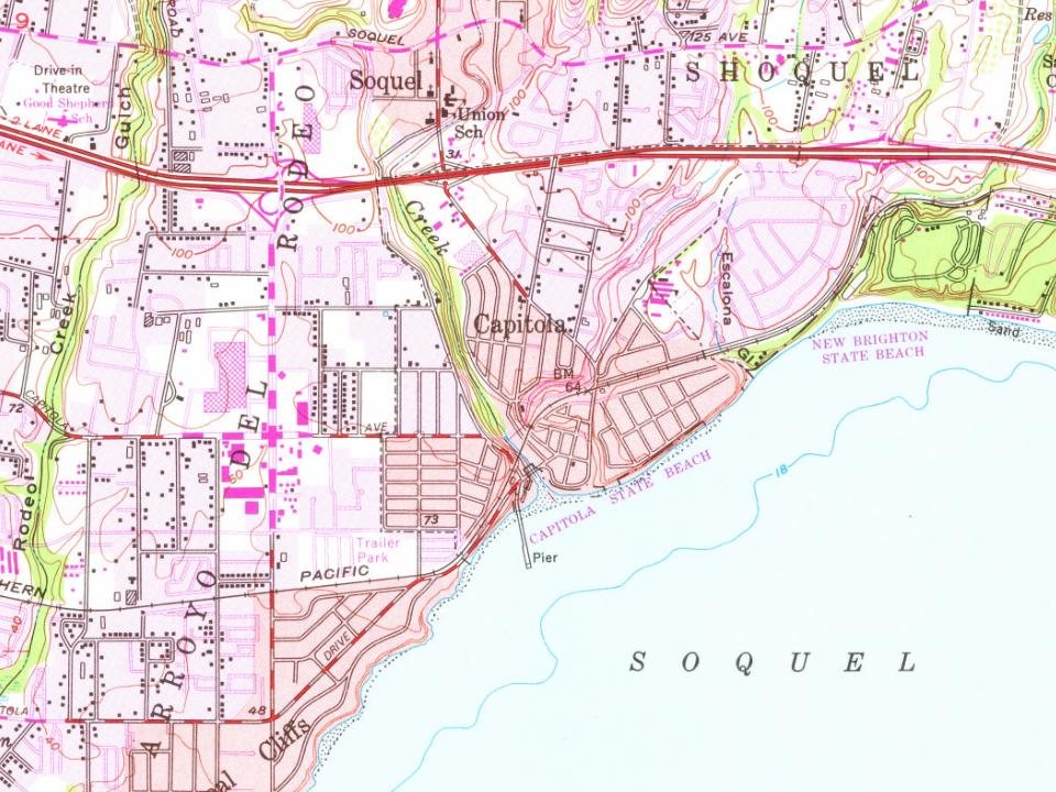
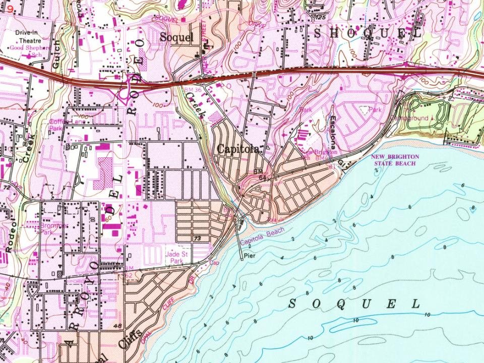
Most of Capitola was built recently: 8% of its homes predate 1940 and the median home dates from 1975. 5 places in town are on the National Register, among them four historic districts with 90 buildings between them. Below: 1 old photo or paper, maps from 1912 on, and the census since 1950.
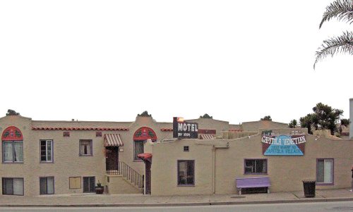
Founding year: the first Capitola post office (Blevins & Helbock, CC0). Wikidata: 1949.The full story ↓
History grade
What drives Capitola’s History grade
On its age, its old homes and the National Register, Capitola is more historic than 62% of U.S. towns, #91 of 847 in California. Its National Register listings hold the grade up; its age pulls it down.
B
HistoryA character grade: shown, never part of Capitola’s overall grade.
Few California towns list much on the Register (a typical California town has 0.0 per 10,000 residents, the U.S. 2.4), so Capitola’s 93.9 sits above most of its state (98% of California towns have fewer) while its 91 historic buildings outnumber those of 89% of U.S. towns.
How sure. Graded on any two of the three inputs instead, the letter would range from C to B+. The pre-1940 share (±2.7 points) is firm at this size. The founding year is the first post office, not a stated founding date; Wikidata gives 1949.
Founding year: the first post office (other dates in Quick answers). Homes: Census ACS 2020–24. National Register: National Park Service, May 2026 list; each listing counted once (boundary changes and added documentation belong to their listing), and a historic district counts its contributing buildings. How TownRatings grades history →
What stands out about Capitola’s past
Read from the archive, the National Register and the record. The page puts what stands out first.
National Park Service, National Register of Historic Places. Photos from Wikimedia Commons, credited on each place’s page.
Places that used to be
Old corners and places now gone
Capitola’s post office has been open since 1889.
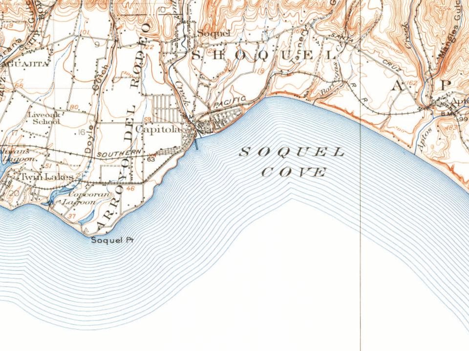
Hamlets and corners on the map
Brookvale Terrace Mobile Home ParkCabrillo Mobile Home ParkLoma Vista Mobile Home ParkNew BrightonSurf and Sand Mobile Home ParkTradewinds Mobile Home Park
The original settlement now known as Capitola grew out of what was then called Soquel Landing. Soquel Landing got its name from a wharf located at the mouth of Soquel Creek. This wharf, which dates back to the 1850s, served as an outlet for the produce and lumber grown in the interior. In 1865, Captain John Pope Davenport, a whaleman at Monterey, moved his operations to be near the wharf. Unable to capture any whales, he moved his operations the following year to Point Año Nuevo.
Passages that mention Capitola, cut from the printed page as they were published.
History of Santa Cruz County, California1911 · page 345Read the page →
Read the text
consolidation of the Santa Cruz street railroads was effected and the following year the Monterey & Pacific Grove electric railroad was erected, similar work being done in 1902-03 for the Santa Cruz & Capitola electric railroad. During 1903 he was one of the progressive men who enthusiastically began to "boom" Santa Cruz, calling the attention of people elsewhere to the natural advantages possessed by the city. In 1904 he promoted the Co-operative electric light plant and
Text read by machine from the scan; it may contain errors.
History of Santa Cruz County, California1911 · page 345Read the page →
Read the text
consolidation of the Santa Cruz street railroads was effected and the following year the Monterey & Pacific Grove electric railroad was erected, similar work being done in 1902-03 for the Santa Cruz & Capitola electric railroad. During 1903 he was one of the progressive men who enthusiastically began to "boom" Santa Cruz, calling the attention of people elsewhere to the natural advantages possessed by the city. In 1904 he promoted the Co-operative electric light plant and
Text read by machine from the scan; it may contain errors.
History of Santa Cruz County, California1911 · page 233Read the page →
Read the text
the Baptists, Mr. Scliwan having donated a large acreage for tliat purpose, as well as the right-of-way for the street railroad to Capitola. Extensive improvements followed in quick succession and what was formerly farming and grazing land was converted into a thriving settlement. It was the privilege of Mr. and Mrs, Swan to celebrate their golden wedding, but tlie sixtieth anniversary was even more important and appreciated. The house was appropriately decorated, and in
Text read by machine from the scan; it may contain errors.
History of Santa Cruz County, California1911 · page 233Read the page →
Read the text
the Baptists, Mr. Schwan having donated a large acreage for that purpose, as well as the right-of-way for the street railroad to Capitola. Extensive improvements followed in quick succession and what was formerly farming and grazing land was converted into a thriving settlement. It was the privilege of Mr. and Mrs. Swan to celebrate their golden wedding, but the sixtieth anniversary was even more important and appreciated. The house was appropriately decorated, and in
Text read by machine from the scan; it may contain errors.
Scans and text from the Internet Archive. Books published in 1930 or earlier, which are in the public domain.
Timeline
Capitola, 1889 to 1975
Woven from the archive, old maps, post office records, the National Register and the people born here.
Nothing in the archives for these yearsWeddings on Main Street, storms, parades, school pictures, the old store. If it’s in your family album, it belongs here.
The Capitola post office opened in 1889, the earliest record of the town by name (U.S. post office records). Wikidata gives 1949.
How does Capitola rank for history?
Capitola is more historic than 62% of U.S. towns, #91 of 847 in California. The History grade combines the town’s founding era, the share of homes built before 1940 and its National Register listings. It’s a character grade, so it isn’t part of the overall grade. How it works.
What is on the National Register in Capitola?
5 listings: 1 building, among them the Hihn Building (listed 1973, the first), and 4 historic districts with 90 contributing buildings. 91 historic buildings in all.
How old are the homes in Capitola?
8% of Capitola’s homes were built before 1940 (Census estimate, ±2.7 points), against a typical 3.4% for a California town; the median home was built in 1975.
Founding dates: Wikidata, Wikipedia, the U.S. post office records of Blevins & Helbock (CC0) and the Census. Homes by year built: Census ACS 2020–24. National Register of Historic Places: National Park Service (list of May 22, 2026). Old photos, postcards and papers: Wikimedia Commons, the Library of Congress and other public archives, credited on each item’s page. Maps: U.S. Geological Survey historical topographic maps (via Esri) and Sanborn fire-insurance maps (Library of Congress). History text and census tables: Wikipedia (CC BY-SA 4.0). Places that used to be: USGS Geographic Names Information System (2021).
From the Library of Congress (1), Wikidata (2), the National Register of Historic Places (5), Wikipedia, Wikidata and Wikipedia for famous people, U.S. Geological Survey historical maps, U.S. Census counts (via Wikipedia), the US Post Offices dataset (Blevins & Helbock), the USGS Geographic Names Information System and old county and town histories (Internet Archive). Archive images are copied here with their credits and licenses, shown on each photo’s page. Refreshed monthly.