Chiricahua National Monument
National park in southeastern Arizona.
Each edition grades its towns against each other only.
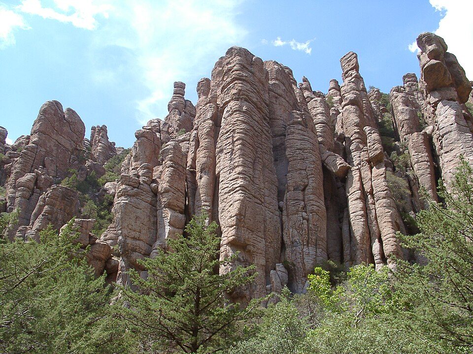
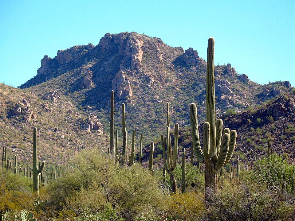
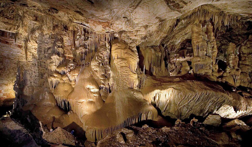
There is no place to visit inside Sunsites; there are 6 within 40 miles. Among them are a national monument, an attraction and a cave. Roughly 70K visitors a year make it to Chiricahua National Monument. Further afield lies Saguaro National Park, at 40 mi.
National park in southeastern Arizona.
The towns around it, and where to stay →
The map stretches to Kartchner Caverns State Park, 31 mi away.
Orange: Sunsites. Numbers: the best-known places, matching the list below. © OpenStreetMap contributors
12 places, all within 60 miles, make the list.
National park in southeastern Arizona.
United States National Park, in the state of Arizona.
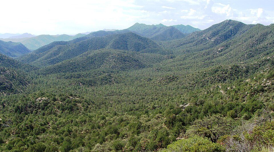
Managed forest in southern Arizona and New Mexico.
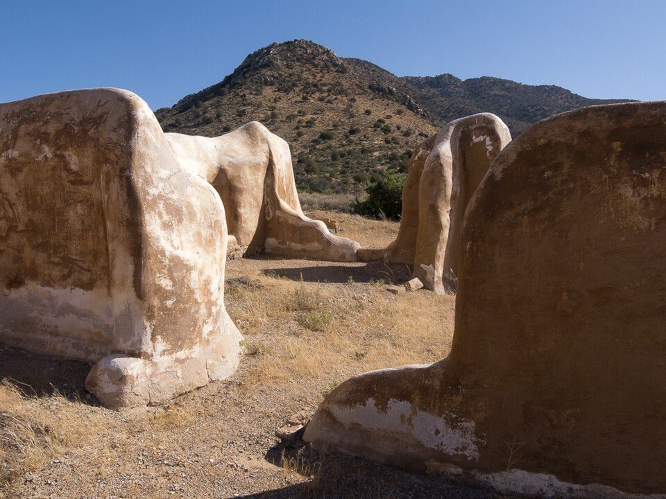
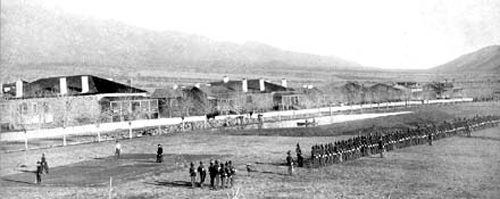
Historic fort in Arizona, USA.
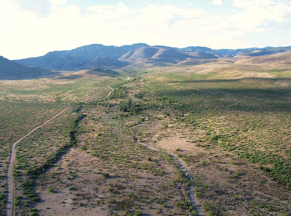
Landform located 30 miles (50 km) northeast of the town of Douglas, Arizona.
Ranked by how many people look them up, so the famous places lead and the local favorites follow.
Parks and trails in Sunsites → · Sunsites’ history →
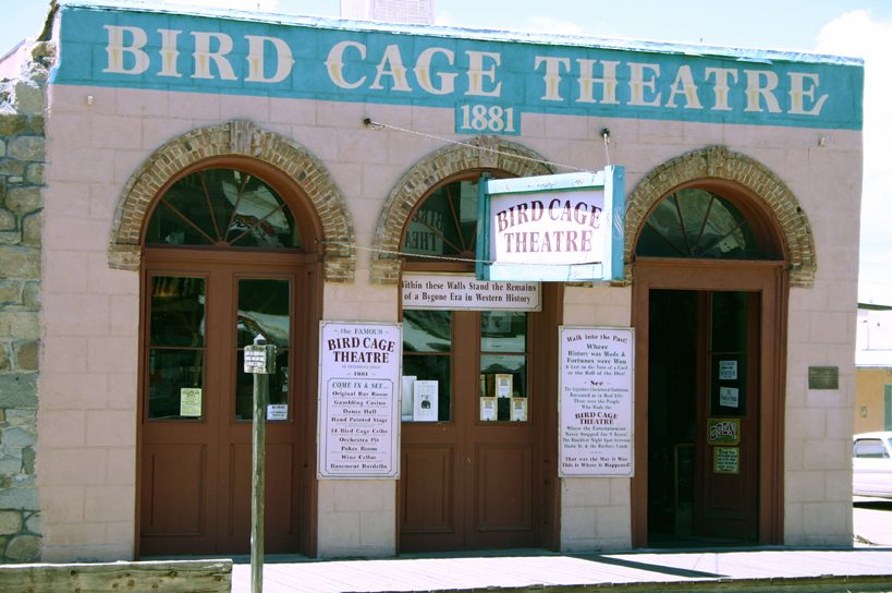
Chiricahua National Monument: Unknown, CC BY-SA 3.0 · Saguaro National Park: Luke Jones from Yucca Valley, CC BY 2.0 · Kartchner Caverns State Park: Mike Lewis, CC BY-SA 4.0 · Bird Cage Theatre: Hawkeye58, CC BY-SA 3.0 · Coronado National Forest: Zereshk, CC BY-SA 3.0 · Fort Bowie National Historic Site: StellarD, CC BY-SA 4.0 · Skeleton Canyon: BAlvarius, CC BY-SA 3.0 · Fort Grant: unknown, uploaded by: Aj4444, Public domain · Colossal Cave: Bill Morrow, CC BY 2.0 · Coronado National Memorial: Ian Poellet, CC BY-SA 4.0 · Grand Theatre: Jeff Henley, CC BY-SA 3.0
 2
 4
 5
 6
 7
 8
 9
 10
 11
 12


