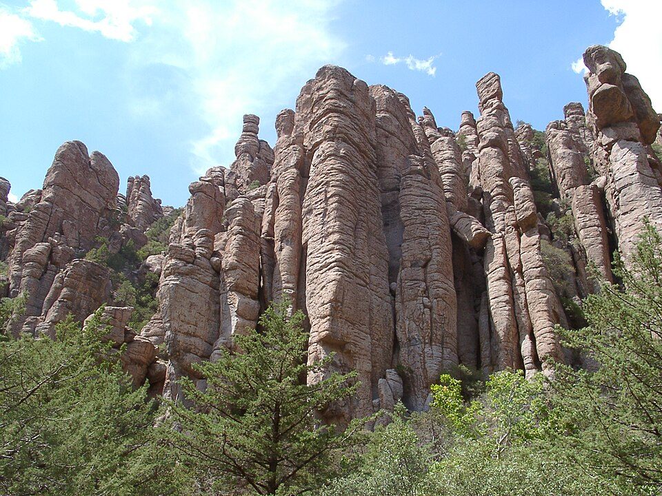
Chiricahua National Monument
Chiricahua National Park is a national park of the United States located in the Chiricahua Mountains of southeastern Arizona. The site is 23 mi northwest of Rodeo. Its operator is the National Park Service. 70K visitors came in 2025.

A national monument, 23 mi northwest of Rodeo
Visits hit a record in 2024, then fell back
The National Park Service counted 71,390 visitors in 2024, a record. In 2025 the count fell 1% to 70,406. Visitors ↓
Plan where you’ll sleep
The nearest town with many places to stay is Willcox, 33 miles northwest. Where to stay ↓
One of the most looked-up attractions in the U.S.
About 252K people a year read its Wikipedia article, more than for 99% of the 7,770 attractions we track.
Summers are hot
June and July highs run 95–97°, and about 97 days a year reach 90°. When to go ↓
Best month: Oct
October is mild and quieter than average, with a high of 81°. When to go ↓
Written from National Park Service visitor counts, NOAA 1991–2020 normals, Overture places to stay, Census town figures, Wikidata and Wikipedia. Updated when the Park Service posts a new month.
Month by month: crowds and weather
Here is how visitors and weather at Chiricahua change through the year.
Chiricahua National Monument
Chiricahua National Park is a national park of the United States located in the Chiricahua Mountains of southeastern Arizona. Originally established as Chiricahua National Monument on April 18, 1924, the park was created to protect the area's extensive hoodoos and balancing rocks. It was redesignated as the nation's 64th national park on October 20, 2026. The Faraway Ranch, which was owned at one time by Swedish immigrants Neil and Emma Erickson, is also preserved within the national park. Just over 85% of the park is protected as the Chiricahua Wilderness.
- Type
- National Monument
- Established
- 1924
- Run by
- National Park Service
- Listed
- International Dark Sky Park (2021)
- Wikipedia readers
- 252K a year
- Official site
- nps.gov/chir
Opening times and entry
Nights near Chiricahua National Monument
You can sleep inside the park (1 place). Rooms are nearest in Willcox (23).
Stay in the park
- Bonita Canyon Campground campground
Willcox
The closest town with somewhere to stay.
3,189 people
33 mi northwest of the visitor center · 30 mi to the park
Rodeo
18 people · 25% vacation homes
23 mi southeast of the visitor center · 19 mi to the park
Compare 6 towns
| Town | From the visitor center | Drive | Places to stay | People | Typical home | Safety |
|---|---|---|---|---|---|---|
| Willcox | 33 mi northwest | 50 min | 23 10 hotels · 4 motels · 1 lodge or cabins · 3 campgrounds · 5 RV parks | 3,189 | $159K | C |
| Rodeo 25% vacation homes | 23 mi southeast | 35 min | 1 1 lodge or cabins | 18 | — | — |
| Sunsites | 29 mi west | 45 min | 2 1 inn or B&B · 1 RV park | 611 | $149K | — |
| Bowie | 23 mi north | 35 min | 1 1 RV park | 384 | $61K | — |
| Cotton City | 29 mi east | 45 min | 1 1 campground | 286 | $187K | — |
| Elfrida | 30 mi southwest | 45 min | 1 1 campground | 194 | $95K | — |
Getting there
Nearest airports with airline service, from the visitor center
What else is near Chiricahua
Every place here is under 60 miles away.
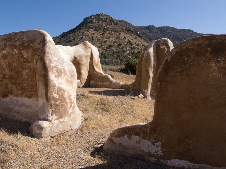 111 mi National Historic SiteFort Bowie National Historic Site9K visitors a year
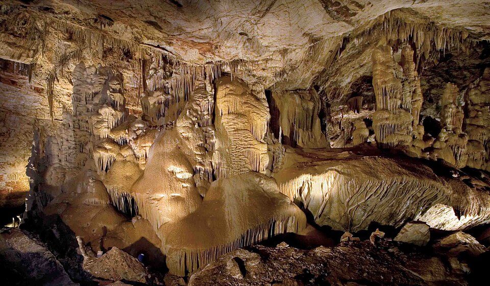 59 mi CaveKartchner Caverns State Park
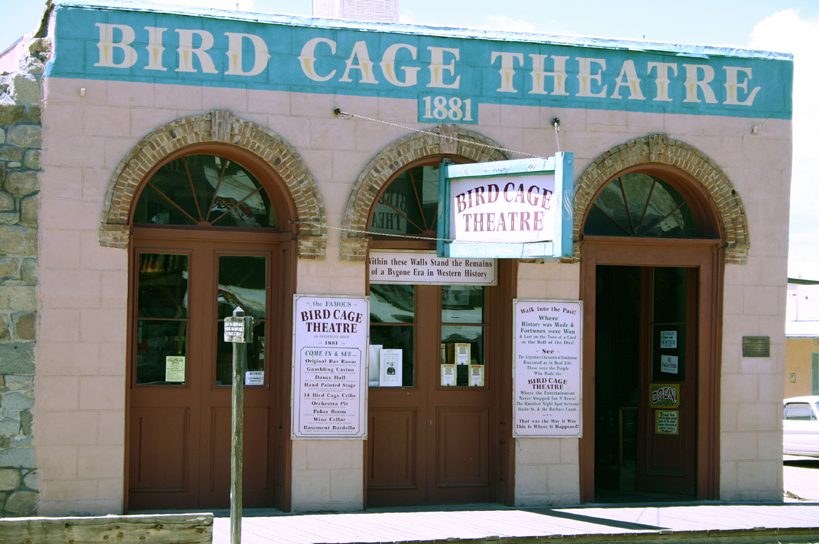 46 mi MuseumBird Cage Theatre
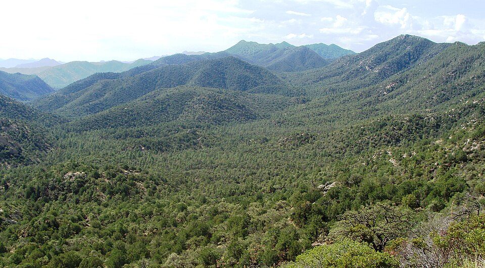 56 mi National forestCoronado National Forest
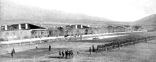 55 mi MuseumFort Grant
 47 mi TheatreGrand Theatre
Photo credits
Fort Bowie National Historic Site: StellarD, CC BY-SA 4.0 · Kartchner Caverns State Park: Mike Lewis, CC BY-SA 4.0 · Bird Cage Theatre: Hawkeye58, CC BY-SA 3.0 · Coronado National Forest: Zereshk, CC BY-SA 3.0 · Fort Grant: unknown, uploaded by: Aj4444, Public domain · Grand Theatre: Jeff Henley, CC BY-SA 3.0


70,406 people came in 2025
The chart runs from 2016 to 2025.
Questions before you go
What town is Chiricahua National Monument near?
Rodeo, NM, about 23 miles southeast.
When is the best time to visit Chiricahua National Monument?
October, with a high of 81°. March is the busiest month (about 12,132 visitors).
How many people visit Chiricahua National Monument each year?
70,406 in 2025, according to the National Park Service. The record is 71,390, set in 2024.
How far is Chiricahua National Monument from Tucson?
About 89 miles west of Tucson, as the crow flies.
What is the closest airport to Chiricahua National Monument?
Grant County (SVC), about 83 miles away. The nearest big hub is Tucson (TUS), about 93 miles.
Where should I stay near Chiricahua National Monument?
Inside the park: Bonita Canyon Campground. Nearby: Willcox (33 mi, 23 places to stay).
Rodeo has the answers
There are no tips yet, so start one in Rodeo’s Town Square.
Sources: National Park Service · ski areas © OpenSkiMap / OpenStreetMap contributors · Wikidata · Wikipedia readership · National Park Service visitor use statistics · NOAA climate normals · U.S. Census.