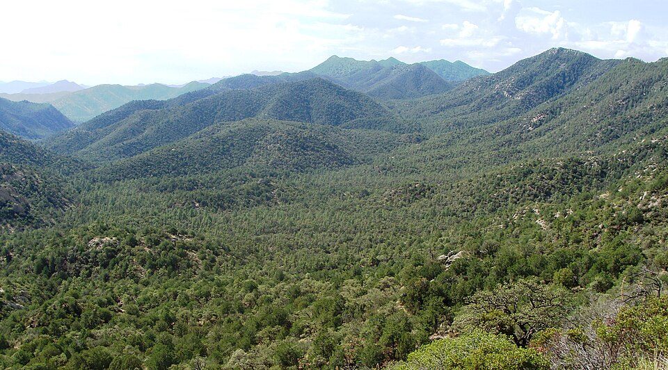
Coronado National Forest
The Coronado National Forest is a United States National Forest that includes an area of about 1.78 million acres (7,200 km2) spread throughout mountain ranges in southeastern Arizona and southwestern New Mexico. It is 6 mi north of Benson. 1908 is when its story starts.

A national forest, 6 mi north of Benson
Summers are hot
June and July highs run 94–96°, and about 79 days a year reach 90°. When to go ↓
Benson is the nearest base
Benson is 6 miles south, with 22 places to stay. Where to stay ↓
Established in 1908
Coronado National Forest dates from 1908. About ↓
Best months: Mar, Apr and Oct
March, April and October are the mild months, with highs of 71–81°. When to go ↓
Written from NOAA 1991–2020 normals, Overture places to stay, Census town figures, Wikidata and Wikipedia.
Weather through the year
This is the year’s weather near Coronado National Forest.
Coronado National Forest
The Coronado National Forest is a United States National Forest that includes an area of about 1.78 million acres (7,200 km2) spread throughout mountain ranges in southeastern Arizona and southwestern New Mexico.
It is located in parts of Cochise, Graham, Santa Cruz, Pima, and Pinal Counties in Arizona, and Hidalgo County in New Mexico.
- Type
- National forest
- Established
- 1908
- Area
- 2,792 square miles
- Wikipedia readers
- 8K a year
Rooms near Coronado National Forest
Hotels, motels or campgrounds are closest in Benson (22) and Tombstone (31), and Tucson has the most rooms in the area (182).
Benson
The closest town with somewhere to stay.
5,532 people
6 mi south of Coronado National Forest
Tucson
The most places to stay in the area, and a base for a longer trip.
548,371 people
35 mi west of Coronado National Forest
Compare 9 towns
| Town | From Coronado National Forest | Drive | Places to stay | People | Typical home | Safety |
|---|---|---|---|---|---|---|
| Benson | 6 mi south | 10 min | 22 5 hotels · 5 motels · 1 inn or B&B · 1 lodge or cabins · 1 campground · 9 RV parks | 5,532 | $149K | — |
| Tombstone | 23 mi southeast | 35 min | 31 8 hotels · 6 motels · 7 inns & B&Bs · 7 lodges & cabins · 1 campground · 2 RV parks | 1,376 | $183K | — |
| St. David | 9 mi southeast | 15 min | 3 1 inn or B&B · 2 RV parks | 1,098 | $154K | — |
| Sierra Vista | 30 mi south | 45 min | 33 28 hotels · 2 motels · 1 lodge or cabins · 2 RV parks | 44,907 | $254K | C+ |
| Whetstone | 19 mi south | 30 min | 3 3 RV parks | 2,971 | $214K | — |
| Dragoon | 16 mi east | 25 min | 2 2 inns & B&Bs | 85 | $136K | — |
| Sonoita | 30 mi southwest | 45 min | 5 2 hotels · 2 inns & B&Bs · 1 lodge or cabins | 663 | $460K | — |
| Elgin | 26 mi southwest | 40 min | 2 1 inn or B&B · 1 lodge or cabins | 349 | $357K | — |
| Tucson | 35 mi west | 50 min | 182 121 hotels · 21 motels · 18 inns & B&Bs · 6 lodges & cabins · 3 campgrounds · 13 RV parks | 548,371 | $266K | D |
Getting there
Nearest airports with airline service
Worth adding to a visit
Other well-known places within 56 miles.
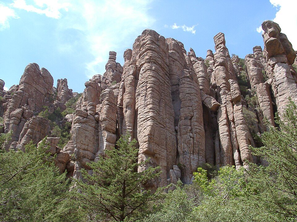 Big draw56 mi National MonumentChiricahua National Monument70K visitors a year
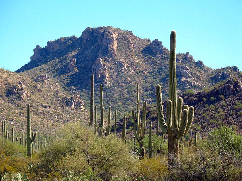 123 mi National ParkSaguaro National Park848K visitors a year216 mi AttractionThe Thing?
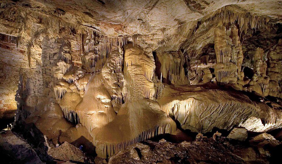 311 mi CaveKartchner Caverns State Park
 41 mi Stadium & arenaArizona Stadium
 34 mi MuseumPima Air & Space Museum
 42 mi MountainMount Lemmon
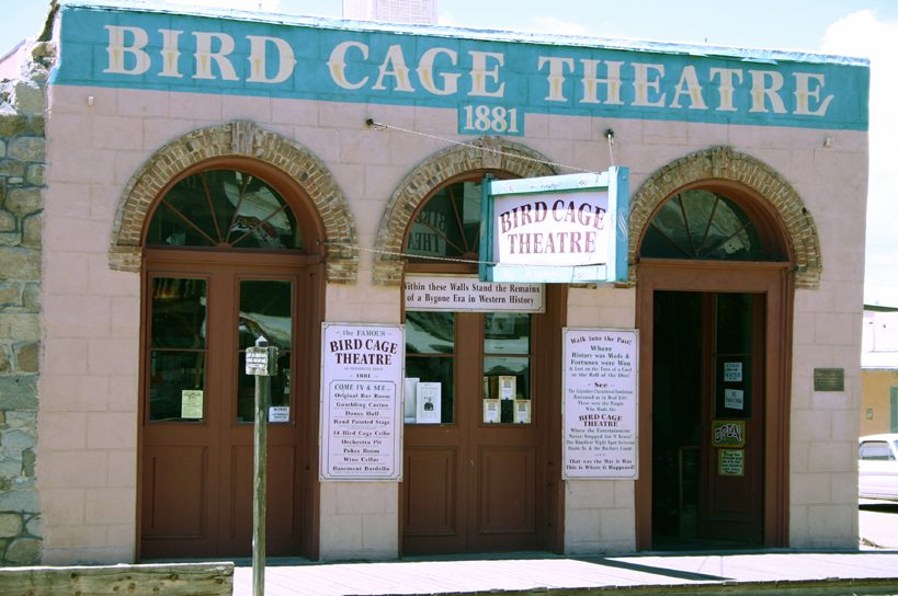 424 mi MuseumBird Cage Theatre
Photo credits
Chiricahua National Monument: Unknown, CC BY-SA 3.0 · Saguaro National Park: Luke Jones from Yucca Valley, CC BY 2.0 · Kartchner Caverns State Park: Mike Lewis, CC BY-SA 4.0 · Arizona Stadium: Wcarlisle4, CC BY-SA 3.0 · Pima Air & Space Museum: The original uploader was MCB at English Wikipedia. Later versions were uploade, CC BY-SA 2.5 · Mount Lemmon: Debby Kriegel, Public domain · Bird Cage Theatre: Hawkeye58, CC BY-SA 3.0


Asked about Coronado National Forest
What town is Coronado National Forest near?
Benson, AZ, about 6 miles south.
When is the best time to visit Coronado National Forest?
March, April and October, with highs of 71–81°.
What is the closest airport to Coronado National Forest?
Tucson (TUS), about 38 miles away.
Where should I stay near Coronado National Forest?
Benson (6 mi, 22 places to stay), Tucson (35 mi, 182 places to stay) and Tombstone (23 mi, 31 places to stay).
Questions for Benson
Start the conversation in Benson’s Town Square.
Sources: National Park Service · ski areas © OpenSkiMap / OpenStreetMap contributors · Wikidata · Wikipedia readership · NOAA climate normals · U.S. Census.