White Pass Ski Area
Visitors find White Pass Ski Area 13 mi east of Packwood. Add Mount Rainier, 23 mi away, to a visit. Cold weather peaks over January, February, November and December, with 40–48°F highs.
A ski area, 13 mi east of Packwood
Packwood is the nearest base
Packwood is 13 miles west, with 16 places to stay. Where to stay ↓
A day trip from Seattle
Seattle is about 82 miles northwest and Portland is about 96 miles southwest (straight-line). Where to stay ↓
Written from NOAA 1991–2020 normals and Overture places to stay, Census town figures.
Month by month
Use the months below to time a visit to White Pass.
Rooms near White Pass Ski Area
Close by, places to stay are in Packwood (16) and Cliffdell (5).
Packwood
The closest town with somewhere to stay.
99 people · 75% vacation homes
13 mi west of White Pass
Compare 3 towns
| Town | From White Pass | Drive | Places to stay | People | Typical home |
|---|---|---|---|---|---|
| Packwood 75% vacation homes | 13 mi west | 20 min | 16 5 hotels · 1 motel · 7 lodges & cabins · 1 campground · 2 RV parks | 99 | — |
| Cliffdell 40% vacation homes | 27 mi northeast | 40 min | 5 2 lodges & cabins · 3 campgrounds | 157 | — |
| Nile 37% vacation homes | 26 mi northeast | 40 min | 3 1 lodge or cabins · 2 campgrounds | 349 | $432K |
Day trip from
Straight-line miles.
Getting there
Nearest airports with airline service
Worth adding to a visit
More places people know lie within 67 miles.
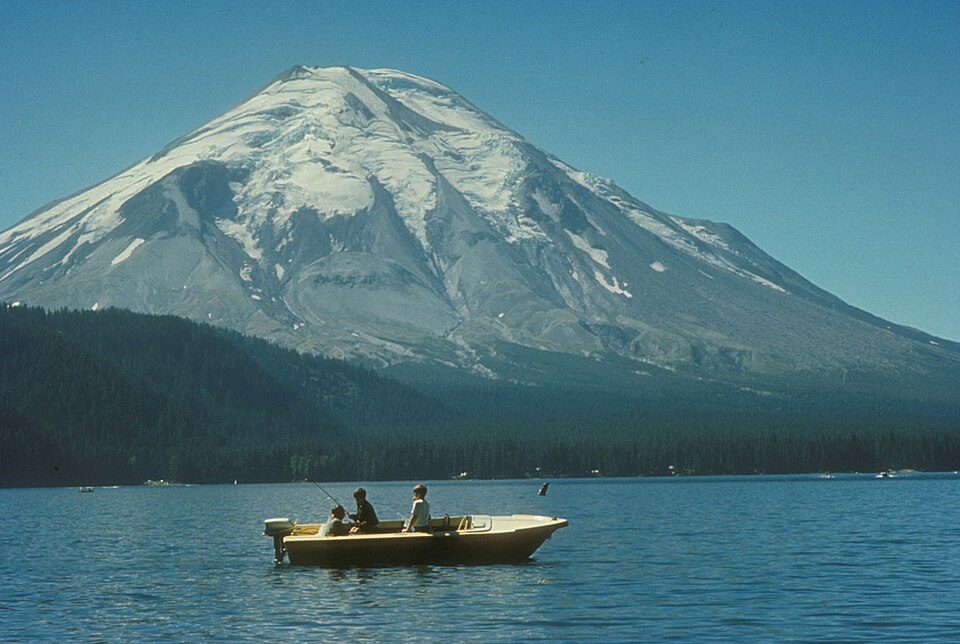 Big draw48 mi MountainMount St. Helens
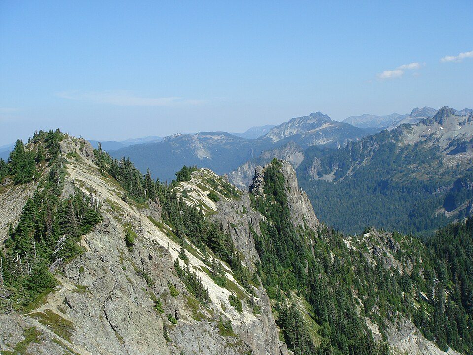 123 mi National ParkMount Rainier National Park1.6M visitors a year
 230 mi MountainMount Adams
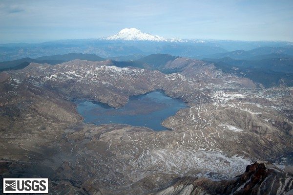 43 mi LakeSpirit Lake
 64 mi Stadium & arenaTacoma Dome
 62 mi Theme parkWild Waves Theme Park
 42 mi MuseumYakima Electric Railway Museum
 66 mi Canyon & gorgeColumbia River Gorge
Photo credits
Mount St. Helens: U.S. Forest Service- Pacific Northwest Region, Public domain · Mount Rainier National Park: Ricardo Martins from Gent, Belgium, CC BY 2.0 · Mount Adams: USGS Photo by R. Iverson, USGS/CVO, Public domain · Spirit Lake: Matt Logan, Public domain · Tacoma Dome: Broran28, Public domain · Wild Waves Theme Park: Jessica Spengler from Hove, United Kingdom, CC BY 2.0 · Yakima Electric Railway Museum: Steve Morgan, CC BY-SA 3.0 · Columbia River Gorge: Hux, Public domain


Visiting White Pass: the answers
What town is White Pass Ski Area near?
Packwood, WA, about 13 miles west.
How far is White Pass Ski Area from Seattle and Portland?
About 82 miles northwest of Seattle and about 96 miles southwest of Portland, as the crow flies.
What is the closest airport to White Pass Ski Area?
Yakima Air Terminal McAllister Field (YKM), about 41 miles away. The nearest big hub is Seattle–Tacoma (SEA), about 71 miles.
Where should I stay near White Pass Ski Area?
Packwood (13 mi, 16 places to stay), Cliffdell (27 mi, 5 places to stay) and Nile (26 mi, 3 places to stay).
Ask people in Packwood
No one has shared advice yet; Packwood’s Town Square takes questions.
Sources: National Park Service · ski areas © OpenSkiMap / OpenStreetMap contributors · Wikidata · Wikipedia readership · NOAA climate normals · U.S. Census.