
Valley of Fire State Park
Valley of Fire State Park is a public recreation and nature preservation area covering nearly 46,000 acres (19,000 ha) located 16 miles (26 km) south of Overton, Nevada. The site is 12 mi south of Moapa Valley. Its origins go back to 1935.

A state park, 12 mi south of Moapa Valley
Summers are hot
July highs run 108–108°, and about 160 days a year reach 90°. When to go ↓
Moapa Valley is the nearest base
Moapa Valley is 12 miles north, with 5 places to stay. Where to stay ↓
A day trip from Las Vegas
Las Vegas is about 43 miles west (straight-line). Where to stay ↓
Best months: Feb, Mar, Apr and Nov
February, March, April and November are the mild months, with highs of 66–82°. When to go ↓
Established in 1935
Valley of Fire State Park dates from 1935. About ↓
Written from NOAA 1991–2020 normals, Overture places to stay, Census town figures, Wikidata and Wikipedia.
Month by month
Use the months below to time a visit to Valley of Fire.
Valley of Fire State Park
Valley of Fire State Park is a public recreation and nature preservation area covering nearly 46,000 acres (19,000 ha) located 16 miles (26 km) south of Overton, Nevada. The state park derives its name from red sandstone formations, the Aztec Sandstone, which formed from shifting dunes 150 million years ago. These features, which are the centerpiece of the park's attractions, often appear to be on fire when reflecting the sun's rays. It is Nevada's oldest state park, as commemorated with Nevada Historical Marker #150. It was designated as a National Natural Landmark in 1968.
Valley of Fire is located in the Mojave Desert 50 miles (80 km) northeast of Las Vegas, at an elevation between 1,320–3,009 feet (402–917 m). It abuts the Lake Mead National Recreation Area on the east at the Virgin River confluence. It lies in a 4 by 6 mi (6.4 by 9.7 km) basin.
- Type
- State park
- Established
- 1935
- Listed
- National Natural Landmark
- Wikipedia readers
- 37K a year
Nights near Valley of Fire State Park
Lodging nearby is in Moapa Valley (5) and Nellis AFB (4), and Paradise has the most rooms in the area (234).
Moapa Valley
The closest town with somewhere to stay.
6,684 people
12 mi north of Valley of Fire
Paradise
The most places to stay in the area, and a base for a longer trip.
185,913 people
42 mi southwest of Valley of Fire
Compare 4 towns
| Town | From Valley of Fire | Drive | Places to stay | People | Typical home |
|---|---|---|---|---|---|
| Moapa Valley | 12 mi north | 20 min | 5 1 hotel · 1 motel · 1 inn or B&B · 1 lodge or cabins · 1 RV park | 6,684 | $363K |
| Moapa Town | 18 mi north | 30 min | 2 1 campground · 1 RV park | 958 | $335K |
| Nellis AFB | 32 mi southwest | 50 min | 4 3 hotels · 1 RV park | 5,087 | — |
| Paradise | 42 mi southwest | 1 hr | 234 224 hotels · 3 motels · 2 inns & B&Bs · 1 lodge or cabins · 1 campground · 3 RV parks | 185,913 | $384K |
Day trip from
Straight-line miles.
Getting there
Nearest airports with airline service
What else is near Valley of Fire
Other well-known places within 44 miles.
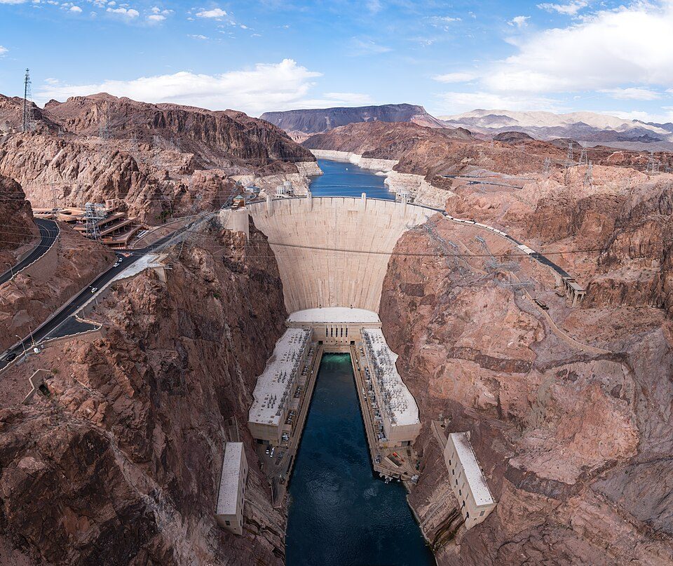 Big draw31 mi DamHoover Dam
 Big draw43 mi Stadium & arenaAllegiant Stadium
 Big draw43 mi Stadium & arenaT-Mobile Arena
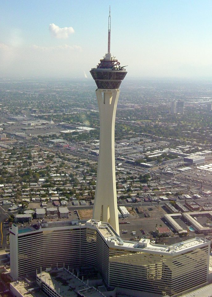 40 mi LookoutThe STRAT Hotel, Casino & SkyPod
 42 mi Stadium & arenaMGM Grand Garden Arena
 36 mi Stadium & arenaSam Boyd Stadium
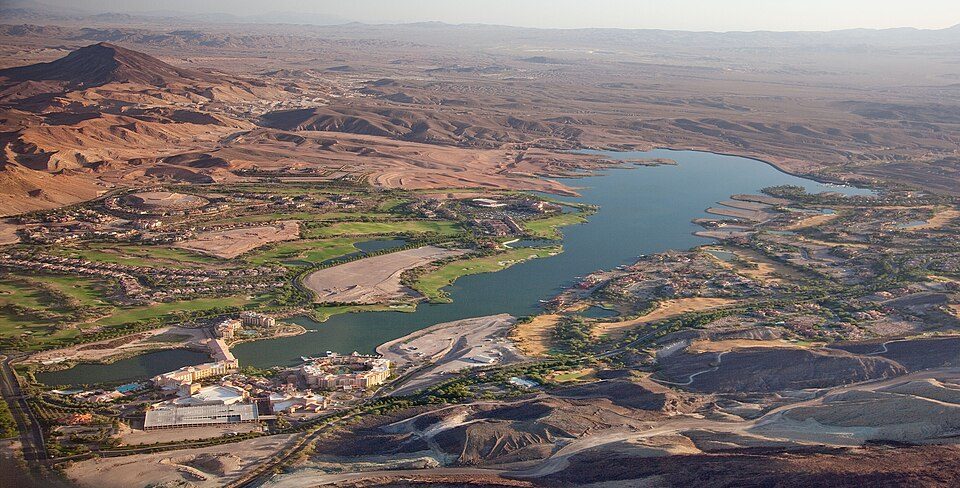 31 mi LakeLake Las Vegas
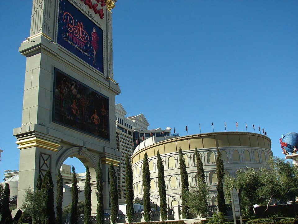 42 mi TheatreThe Colosseum at Caesars Palace
Photo credits
Hoover Dam: Christian David, CC BY-SA 4.0 · Allegiant Stadium: Tomás Del Coro, CC BY-SA 2.0 · T-Mobile Arena: Tomás Del Coro from Las Vegas, Nevada, USA, CC BY-SA 2.0 · The STRAT Hotel, Casino & SkyPod: Original uploader was Timjarrett at en.wikipedia, CC BY-SA 3.0 · MGM Grand Garden Arena: Slargent, CC BY 1.0 · Sam Boyd Stadium: Quintin Soloviev, CC BY 4.0 · Lake Las Vegas: Carol M. Highsmith, Public domain · The Colosseum at Caesars Palace: Forest & Kim Starr, CC BY 3.0


Visiting Valley of Fire
What town is Valley of Fire State Park near?
Moapa Valley, NV, about 12 miles north.
When is the best time to visit Valley of Fire State Park?
February, March, April and November, with highs of 66–82°.
How far is Valley of Fire State Park from Henderson and Las Vegas?
About 41 miles southwest of Henderson and about 43 miles west of Las Vegas, as the crow flies.
What is the closest airport to Valley of Fire State Park?
Boulder City Municipal (BLD), about 39 miles away. The nearest big hub is Harry Reid (LAS), about 42 miles.
Where should I stay near Valley of Fire State Park?
Paradise (42 mi, 234 places to stay), Moapa Valley (12 mi, 5 places to stay) and Nellis AFB (32 mi, 4 places to stay).
Local know-how from Moapa Valley
Ask a question, or answer one, in Moapa Valley’s Town Square.
Sources: National Park Service · ski areas © OpenSkiMap / OpenStreetMap contributors · Wikidata · Wikipedia readership · NOAA climate normals · U.S. Census.