
Table Rock State Park
Table Rock State Park is a 3,083-acre (12.48 km2) park at the edge of the Blue Ridge Mountains in northern Pickens County, South Carolina. It stands 7 mi southwest of Caesars Head. Its story as a place to visit starts in 1935.

A state park, 7 mi southwest of Caesars Head
Caesars Head is the nearest base
Caesars Head is 7 miles northeast, with 5 places to stay. Where to stay ↓
Best months: Apr, May, Jun, Jul, Aug, Sep and Oct
April, May, June, July, August, September and October are the mild months, with highs of 69–83°. When to go ↓
Established in 1935
Table Rock State Park dates from 1935. About ↓
Written from NOAA 1991–2020 normals, Overture places to stay, Census town figures, Wikidata and Wikipedia.
Month by month
The months below show the weather around Table Rock.
Table Rock State Park
Table Rock State Park is a 3,083-acre (12.48 km2) park at the edge of the Blue Ridge Mountains in northern Pickens County, South Carolina.
- Type
- State park
- Established
- 1935
- Listed
- National Register of Historic Places (1989)
- Wikipedia readers
- 6.6K a year
Where to sleep near Table Rock State Park
Lodging nearby is in Greenville (76) and Brevard (21).
Greenville
The closest town with somewhere to stay.
75,310 people
24 mi southeast of Table Rock
Compare 8 towns
| Town | From Table Rock | Drive | Places to stay | People | Typical home | Safety |
|---|---|---|---|---|---|---|
| Greenville | 24 mi southeast | 35 min | 76 70 hotels · 5 inns & B&Bs · 1 campground | 75,310 | $488K | D |
| Brevard | 15 mi north | 20 min | 21 7 hotels · 1 motel · 5 inns & B&Bs · 3 lodges & cabins · 3 campgrounds · 2 RV parks | 8,098 | $450K | B− |
| Rosman | 10 mi northwest | 15 min | 8 1 lodge or cabins · 6 campgrounds · 1 RV park | 760 | $213K | — |
| Caesars Head 95% vacation homes | 7 mi northeast | 10 min | 5 4 campgrounds · 1 RV park | 11 | — | — |
| Travelers Rest | 16 mi east | 25 min | 8 3 hotels · 2 motels · 1 inn or B&B · 2 lodges & cabins | 9,135 | $285K | C− |
| Highlands 65% vacation homes | 28 mi west | 40 min | 30 18 hotels · 3 inns & B&Bs · 7 lodges & cabins · 1 campground · 1 RV park | 1,127 | $701K | — |
| Hendersonville | 24 mi northeast | 35 min | 20 10 hotels · 1 motel · 6 inns & B&Bs · 3 lodges & cabins | 15,867 | $317K | C− |
| Easley | 17 mi southeast | 25 min | 7 5 hotels · 1 motel · 1 inn or B&B | 27,319 | $264K | C |
Getting there
Nearest airports with airline service
Close to Table Rock
A wider trip can take in these, within 58 miles.
 Big draw56 mi MountainMount Mitchell
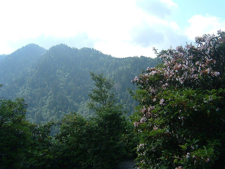 Big draw57 mi National ParkGreat Smoky Mountains National Park11.5M visitors a year
 126 mi Stadium & arenaMemorial Stadium, Clemson
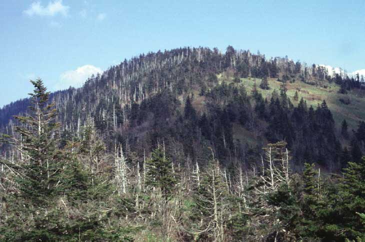 Big draw58 mi MountainKuwohi
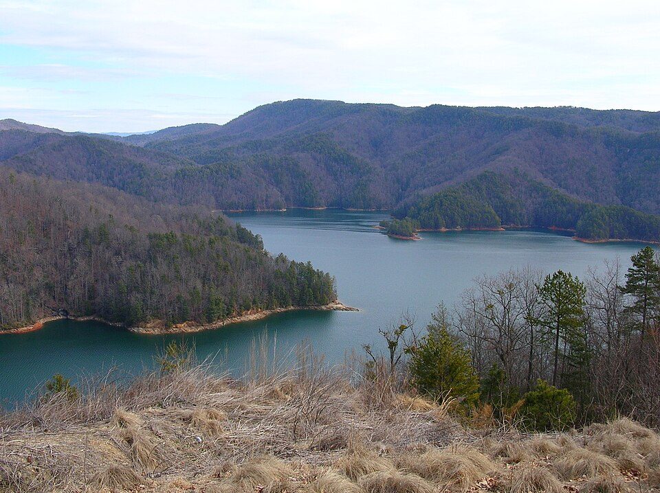 213 mi LakeLake Jocassee
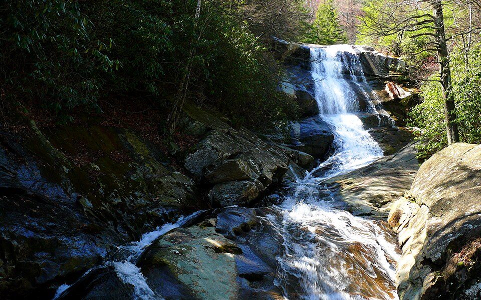 323 mi National forestPisgah National Forest
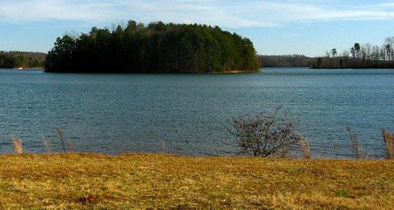 419 mi LakeLake Keowee
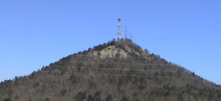 52 mi MountainCurrahee Mountain
Photo credits
Mount Mitchell: Unknown, Public domain · Great Smoky Mountains National Park: Scott Basford, CC BY-SA 3.0 · Memorial Stadium, Clemson: Caseyh at English Wikipedia, CC BY-SA 3.0 · Kuwohi: C. Kenneth Dodd, Jr., Public domain · Lake Jocassee: Clemson3564, Public domain · Pisgah National Forest: Ken Thomas, Public domain · Lake Keowee: Inundated_38Oc1.jpg: Matthew T. Bradley from Berkshire County, Mass., USA deriva, CC BY 2.0 · Currahee Mountain: Wikilackey (talk), Public domain


Before visiting Table Rock
What town is Table Rock State Park near?
Caesars Head, SC, about 7 miles northeast.
When is the best time to visit Table Rock State Park?
April, May, June, July, August, September and October, with highs of 69–83°.
What is the closest airport to Table Rock State Park?
Asheville Regional (AVL), about 29 miles away. The nearest big hub is McGhee Tyson (TYS), about 90 miles.
Where should I stay near Table Rock State Park?
Greenville (24 mi, 76 places to stay), Brevard (15 mi, 21 places to stay) and Rosman (10 mi, 8 places to stay).
Advice from Caesars Head
Be the first to share a tip in Caesars Head’s Town Square.
Sources: National Park Service · ski areas © OpenSkiMap / OpenStreetMap contributors · Wikidata · Wikipedia readership · NOAA climate normals · U.S. Census.