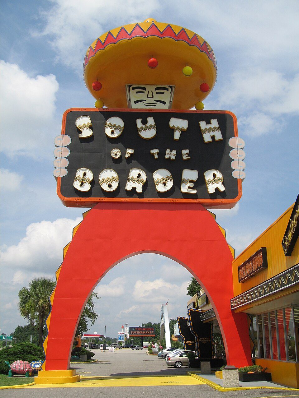
South of the Border
South of the Border is an attraction on Interstate 95 (I-95), US Highway 301 (US 301) and US 501 in Hamer, South Carolina, United States, just south of Rowland, North Carolina. Weather is mildest over March, April, May, October and November, with 66–83°F highs.

A theme park inside Hamer
You can stay in Hamer
South of the Border is inside Hamer, which has 6 places to stay, so you won’t need a base farther out. Where to stay ↓
A day trip from Charlotte
Charlotte is about 99 miles northwest and Raleigh is about 100 miles north (straight-line). Where to stay ↓
Best months: Mar, Apr, May, Oct and Nov
March, April, May, October and November are the mild months, with highs of 66–83°. When to go ↓
Open since 1949
South of the Border opened in 1949, 77 years ago. About ↓
Written from NOAA 1991–2020 normals, Overture places to stay, Census town figures and Wikipedia.
Weather, month by month
The months below show the weather around South of the Border.
South of the Border
South of the Border is an attraction on Interstate 95 (I-95), US Highway 301 (US 301) and US 501 in Hamer, South Carolina, United States, just south of Rowland, North Carolina. It is so named because it is just south of the border between North Carolina and South Carolina. The area is themed in faux-Mexican style, alluding to Mexico's location south of its border with the United States. The rest area contains restaurants, gas stations, a video arcade, motel, truck stop, a small amusement park, a mini golf course, shopping, fireworks stores, and a motocross training complex. Its mascot is Pedro, a caricature of a Mexican bandito. South of the Border is known for its roadside billboard advertisements, which begin many miles away and incorporate a mileage countdown to the attraction itself.
- Type
- Theme park
- Opened
- 1949
- Wikipedia readers
- 53K a year
Places to stay near South of the Border
The closest towns with hotels, motels or campgrounds are Hamer (6) and Dillon (10).
Compare 8 towns
| Town | From South of the Border | Drive | Places to stay | People | Typical home | Safety |
|---|---|---|---|---|---|---|
| Hamer | in town | — | 6 2 motels · 2 inns & B&Bs · 1 lodge or cabins · 1 campground | 1,042 | $163K | — |
| Dillon | 6 mi southwest | 10 min | 10 6 hotels · 2 motels · 1 inn or B&B · 1 campground | 6,227 | $116K | D− |
| Rowland | 3 mi north | 5 min | 6 3 hotels · 2 motels · 1 lodge or cabins | 906 | $118K | — |
| Lumberton | 19 mi northeast | 30 min | 29 21 hotels · 6 motels · 1 inn or B&B · 1 RV park | 18,955 | $153K | D− |
| Latta | 13 mi southwest | 20 min | 3 1 hotel · 1 inn or B&B · 1 RV park | 1,235 | $109K | D− |
| Laurinburg | 21 mi northwest | 30 min | 6 3 hotels · 1 motel · 1 inn or B&B · 1 lodge or cabins | 14,582 | $134K | D− |
| Pembroke | 14 mi northeast | 20 min | 2 2 hotels | 2,888 | $129K | D− |
| Bennettsville | 23 mi northwest | 35 min | 5 1 motel · 3 inns & B&Bs · 1 lodge or cabins | 7,565 | $92K | D− |
Day trip from
Straight-line miles.
Getting there
Nearest airports with airline service
More near South of the Border
Pair a visit with these, within 70 miles.
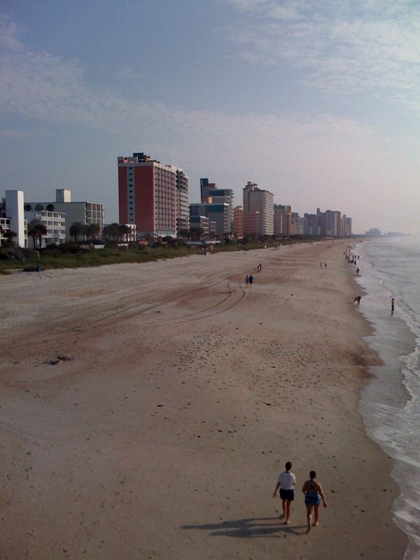 62 mi BeachGrand Strand
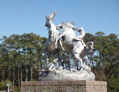 69 mi MuseumBrookgreen Gardens
 61 mi Theme parkFamily Kingdom Amusement Park
 68 mi National BattlefieldMoores Creek National Battlefield56K visitors a year
 45 mi MuseumAirborne & Special Operations Museum
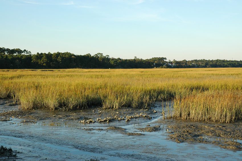 69 mi MuseumHuntington Beach State Park
 48 mi Museum82nd Airborne Division War Memorial Museum
 45 mi MuseumWeymouth Woods-Sandhills Nature Preserve
Photo credits
Grand Strand: Phil Guest from Bournemouth, UK, CC BY-SA 2.0 · Brookgreen Gardens: Hisland7, CC BY-SA 3.0 · Family Kingdom Amusement Park: Fk714, CC BY-SA 3.0 · Moores Creek National Battlefield: Unknown authorUnknown author, Public domain · Airborne & Special Operations Museum: US Army, Public domain · Huntington Beach State Park: Original uploader was Pendragon1998 at en.wikipedia, Public domain · 82nd Airborne Division War Memorial Museum: Dragases (talk), Public domain · Weymouth Woods-Sandhills Nature Preserve: Wyatt Greene, CC BY-SA 3.0


What people ask about South of the Border
Is South of the Border in Hamer?
Yes. It’s inside Hamer, SC.
When is the best time to visit South of the Border?
March, April, May, October and November, with highs of 66–83°.
How far is South of the Border from Charlotte and Raleigh?
About 99 miles northwest of Charlotte and about 100 miles north of Raleigh, as the crow flies.
What is the closest airport to South of the Border?
Florence Regional (FLO), about 32 miles away. The nearest big hub is Myrtle Beach (MYR), about 61 miles.
Where should I stay near South of the Border?
Dillon (6 mi, 10 places to stay), Hamer (in town, 6 places to stay) and Rowland (3 mi, 6 places to stay).
Locals’ advice in Hamer
Tips will appear here once someone posts in Hamer’s Town Square.
Sources: National Park Service · ski areas © OpenSkiMap / OpenStreetMap contributors · Wikidata · Wikipedia readership · NOAA climate normals · U.S. Census.