
Airborne & Special Operations Museum
The United States Army Airborne & Special Operations Museum (ASOM) is part of the U.S.

A museum inside Fayetteville
You can stay in Fayetteville
Airborne & Special Operations Museum is inside Fayetteville, which has 75 places to stay, so you won’t need a base farther out. Where to stay ↓
A day trip from Raleigh
Raleigh is about 55 miles north (straight-line). Where to stay ↓
Best months: Mar, Apr, May, Sep, Oct and Nov
March, April, May, September, October and November are the mild months, with highs of 64–83°. When to go ↓
An airport 4 miles away
Fayetteville Regional Airport - Grannis Field (FAY) has airline service, about 4 miles from Airborne & Special Operations Museum.
Established in 1999
Airborne & Special Operations Museum dates from 1999. About ↓
Written from NOAA 1991–2020 normals, Overture places to stay, Census town figures, Wikidata and Wikipedia.
Weather, month by month
Typical highs and lows in Fayetteville. Green months are the mild ones.
Airborne & Special Operations Museum
The United States Army Airborne & Special Operations Museum (ASOM) is part of the U.S. Army Museum Enterprise dedicated to preserving and teaching a public history of the Special Operations and Airborne community, as well as broader United States military history. Located on Fort Bragg, but geographically separate from the main installation, it has been open to the public in nearby downtown Fayetteville, North Carolina since 2000. The facility is staffed primarily by civilians and volunteers on a day-to-day basis, but remains owned and administered by the Army through the U.S. Army Center of Military History, a part of Training and Doctrine Command (TRADOC).
- Type
- Museum
- Established
- 1999
- Opened
- 2000
- Wikipedia readers
- 2.9K a year
Where to stay near Airborne & Special Operations Museum
The closest towns with hotels, motels or campgrounds are Fayetteville (75) and Eastover (5).
Compare 8 towns
| Town | From Airborne & Special Operations Museum | Drive | Places to stay | People | Typical home | Safety |
|---|---|---|---|---|---|---|
| Fayetteville | in town | — | 75 65 hotels · 5 motels · 2 inns & B&Bs · 1 lodge or cabins · 2 RV parks | 209,120 | $188K | D |
| Eastover | 6 mi northeast | 10 min | 5 2 hotels · 1 motel · 2 inns & B&Bs | 3,743 | $242K | — |
| Spring Lake | 11 mi northwest | 15 min | 7 6 hotels · 1 motel | 11,252 | $124K | D |
| Hope Mills | 7 mi southwest | 10 min | 2 1 hotel · 1 RV park | 18,324 | $191K | — |
| Dunn | 24 mi northeast | 35 min | 10 8 hotels · 1 motel · 1 inn or B&B | 8,814 | $194K | D− |
| Wade | 11 mi northeast | 15 min | 2 2 RV parks | 653 | $215K | — |
| Stedman | 11 mi east | 15 min | 1 1 lodge or cabins | 1,312 | $219K | — |
| Anderson Creek | 16 mi north | 25 min | 1 1 hotel | 13,927 | $282K | — |
Day trip from
Straight-line miles.
Getting there
Nearest airports with airline service
Also near Airborne & Special Operations Museum
Other well-known places within 68 miles.
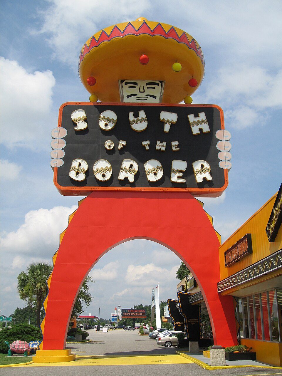 45 mi Theme parkSouth of the Border
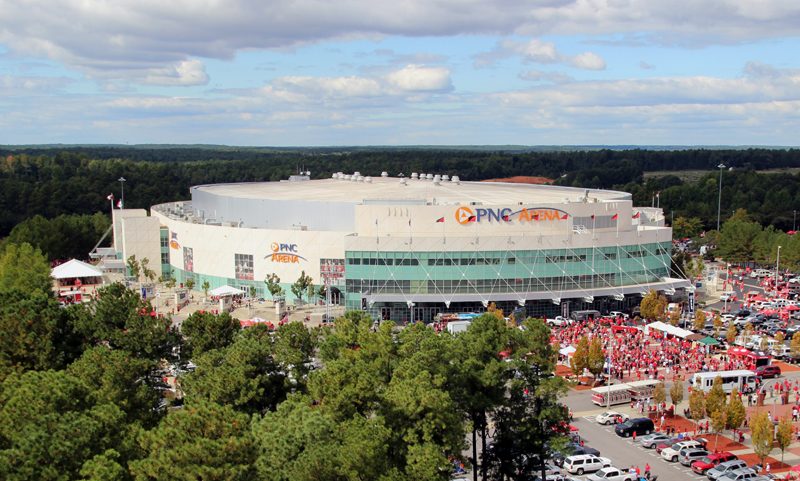 52 mi Stadium & arenaLenovo Center
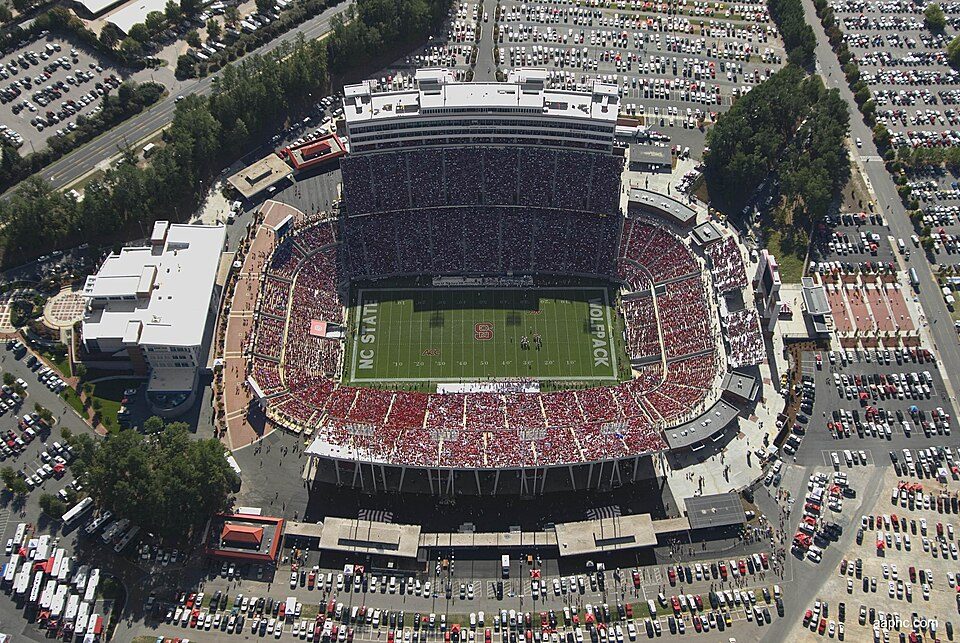 52 mi Stadium & arenaCarter–Finley Stadium
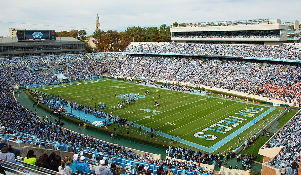 60 mi Stadium & arenaKenan Memorial Stadium
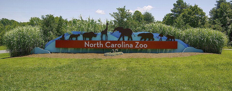 63 mi Zoo & aquariumNorth Carolina Zoo700K visitors a year
 51 mi Stadium & arenaWakeMed Soccer Park
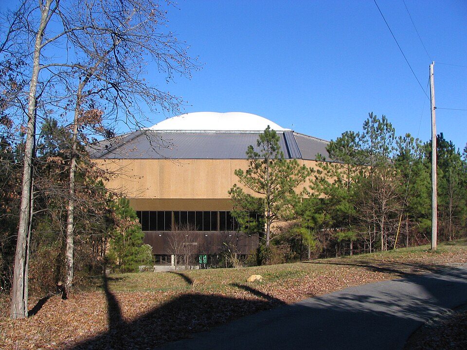 59 mi Stadium & arenaDean Smith Center
 67 mi LandmarkBennett Place State Historic Site
Photo credits
South of the Border: Leonard J. DeFrancisci, CC BY-SA 3.0 · Lenovo Center: Edward T. Funkhouser, CC BY-SA 3.0 · Carter–Finley Stadium: SMaloney, CC BY 3.0 · Kenan Memorial Stadium: Yeungb, CC BY 3.0 · North Carolina Zoo: Diane Villa, CC BY-SA 4.0 · WakeMed Soccer Park: Hameltion, CC BY-SA 4.0 · Dean Smith Center: No machine-readable author provided. Snargle~commonswiki assumed (based on copyr, Public domain · Bennett Place State Historic Site: Ildar Sagdejev (Specious), CC BY-SA 4.0


Visiting Airborne & Special Operations Museum
Is Airborne & Special Operations Museum in Fayetteville?
Yes. It’s inside Fayetteville, NC.
When is the best time to visit Airborne & Special Operations Museum?
March, April, May, September, October and November, with highs of 64–83°.
How far is Airborne & Special Operations Museum from Raleigh and Durham?
About 55 miles north of Raleigh and about 64 miles north of Durham, as the crow flies.
What is the closest airport to Airborne & Special Operations Museum?
Fayetteville Regional Airport - Grannis Field (FAY), about 4 miles away. The nearest big hub is Raleigh-Durham (RDU), about 57 miles.
Where should I stay near Airborne & Special Operations Museum?
Fayetteville (in town, 75 places to stay), Eastover (6 mi, 5 places to stay) and Spring Lake (11 mi, 7 places to stay).
Tips from people in Fayetteville
No tips yet. Ask, or answer, in Fayetteville’s Town Square.
Sources: National Park Service · ski areas © OpenSkiMap / OpenStreetMap contributors · Wikidata · Wikipedia readership · NOAA climate normals · U.S. Census.