
Moores Creek National Battlefield
Moores Creek National Battlefield is a battlefield managed by the U.S.

A national battlefield, 10 mi northeast of Riegelwood
Visits fell 19% in 2025
The National Park Service counted 55,708 visitors in 2025, down from 69,079 the year before. Visitors ↓
Plan where you’ll sleep
The nearest town with many places to stay is Wallace, 21 miles north. Where to stay ↓
Best months: Mar, May, Sep, Oct and Nov
March, May, September, October and November are mild and quieter than average, with highs of 66–84°. When to go ↓
A day trip from Raleigh
Raleigh is about 100 miles north (straight-line). Where to stay ↓
Established in 1926
Moores Creek National Battlefield dates from 1926 and is run by National Park Service. About ↓
Written from National Park Service visitor counts, NOAA 1991–2020 normals, Overture places to stay, Census town figures, Wikidata and Wikipedia. Updated when the Park Service posts a new month.
Crowds and weather, month by month
Bars: average monthly visitors, 2022–2025. Line: the typical afternoon high. Green months are mild and quieter than average.
Moores Creek National Battlefield
Moores Creek National Battlefield is a battlefield managed by the U.S. National Park Service. The park commemorates the 1776 victory of a thousand patriots over about eight hundred loyalists at Moore's Creek. The battle dashed the hopes of British provincial governor Josiah Martin for regaining control of North Carolina for the Crown. The loyalist defeat simultaneously ended British plans for an invasionary force to land in Brunswick Town. The Second Continental Congress voted to declare independence from the British on July 4, 1776, shortly after the battle; which took place in the Wilmington area near Currie in Pender County in southeastern North Carolina. The national military park was established on June 2, 1926, and was redesignated as a national battlefield on September 8, 1980.
- Type
- National Battlefield
- Established
- 1926
- Elevation
- 7 ft
- Run by
- National Park Service
- Listed
- National Register of Historic Places (1966) · National Register of Historic Places (1987)
- Wikipedia readers
- 6.2K a year
- Official site
- nps.gov/mocr
Before you go
Where to stay near Moores Creek National Battlefield
The closest towns with hotels, motels or campgrounds are Wilmington (84) and Wrightsville Beach (14).
Wilmington
The closest town with somewhere to stay.
126,809 people
21 mi southeast of the visitor center · 21 mi to the park
Wrightsville Beach
2,397 people · 47% vacation homes
25 mi southeast of the visitor center · 24 mi to the park
White Lake
850 people · 58% vacation homes
25 mi northwest of the visitor center · 25 mi to the park
Compare 8 towns
| Town | From the visitor center | Drive | Places to stay | People | Typical home | Safety |
|---|---|---|---|---|---|---|
| Wilmington | 21 mi southeast | 30 min | 84 57 hotels · 6 motels · 15 inns & B&Bs · 3 lodges & cabins · 1 hostel · 2 campgrounds | 126,809 | $384K | D |
| Wrightsville Beach 47% vacation homes | 25 mi southeast | 35 min | 14 10 hotels · 1 motel · 3 inns & B&Bs | 2,397 | $1,169K | D |
| White Lake 58% vacation homes | 25 mi northwest | 40 min | 14 2 hotels · 3 motels · 1 inn or B&B · 1 lodge or cabins · 7 campgrounds | 850 | $235K | — |
| Riegelwood | 10 mi southwest | 15 min | 2 1 motel · 1 lodge or cabins | 649 | $200K | — |
| Wallace | 21 mi north | 30 min | 6 2 hotels · 1 motel · 1 inn or B&B · 1 campground · 1 RV park | 3,570 | $178K | D |
| Burgaw | 12 mi northeast | 20 min | 2 1 motel · 1 inn or B&B | 3,903 | $242K | C |
| Castle Hayne | 14 mi southeast | 20 min | 2 2 lodges & cabins | 897 | $378K | — |
| Leland | 20 mi south | 30 min | 4 4 hotels | 35,731 | $399K | B+ |
Getting there
Nearest airports with airline service, from the visitor center
Also near Moores Creek
Other well-known places within 70 miles. Numbered ones are on the map above.
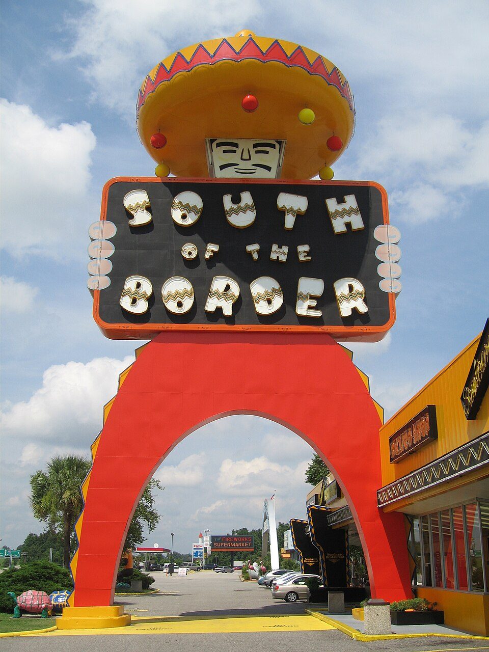 68 mi Theme parkSouth of the Border
 35 mi LandmarkFort Fisher
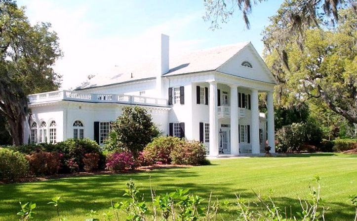 129 mi GardenOrton Plantation
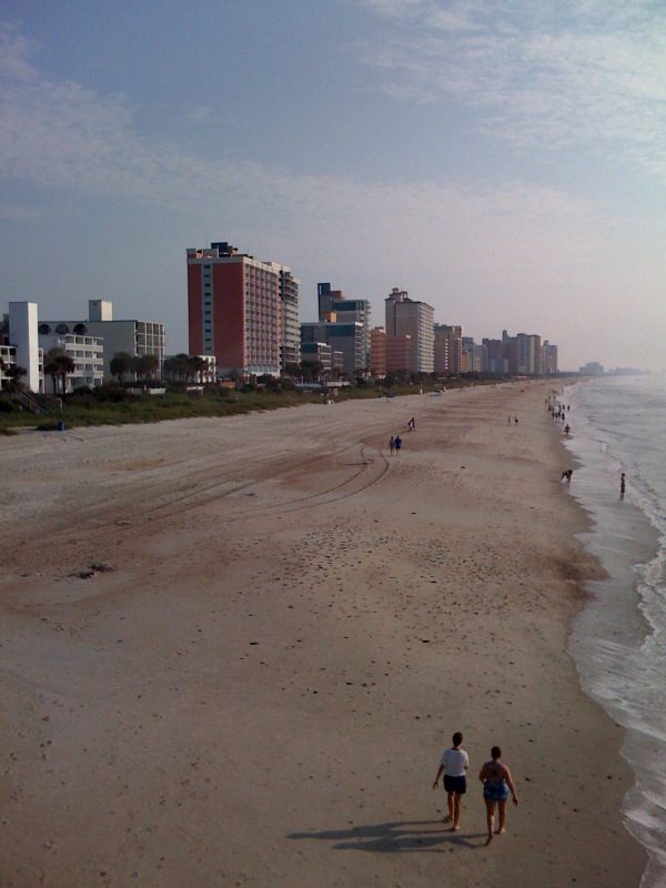 70 mi BeachGrand Strand
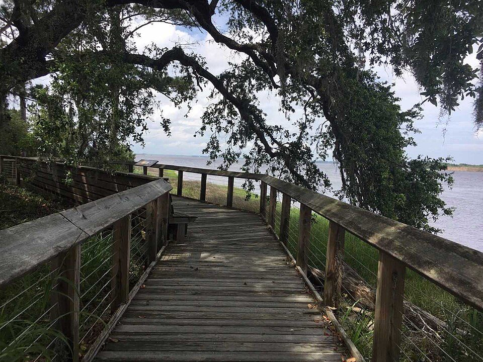 30 mi MuseumBrunswick Town
 63 mi MuseumCSS Neuse223 mi GardenAirlie Gardens
 70 mi Theme parkFamily Kingdom Amusement Park
Photo credits
South of the Border: Leonard J. DeFrancisci, CC BY-SA 3.0 · Fort Fisher: Eric T. Gunther, CC BY 3.0 · Orton Plantation: AgnosticPreachersKid., CC BY-SA 3.0 · Grand Strand: Phil Guest from Bournemouth, UK, CC BY-SA 2.0 · Brunswick Town: Brunswick1726, CC BY-SA 4.0 · CSS Neuse: Katyrw, CC BY-SA 4.0 · Family Kingdom Amusement Park: Fk714, CC BY-SA 3.0


55,708 visitors in 2025
Every full year the Park Service has counted. 2020 (gold) was the pandemic year. Green is the record (2017).
Visiting Moores Creek
What town is Moores Creek National Battlefield near?
Riegelwood, NC, about 10 miles southwest.
When is the best time to visit Moores Creek National Battlefield?
March, May, September, October and November, with highs of 66–84°. February is the busiest month (about 6,846 visitors).
How many people visit Moores Creek National Battlefield each year?
55,708 in 2025, according to the National Park Service. The record is 86,747, set in 2017.
How far is Moores Creek National Battlefield from Raleigh?
About 100 miles north of Raleigh, as the crow flies.
What is the closest airport to Moores Creek National Battlefield?
Wilmington (ILM), about 17 miles away. The nearest big hub is Myrtle Beach (MYR), about 71 miles.
Where should I stay near Moores Creek National Battlefield?
Wilmington (21 mi, 84 places to stay), Wrightsville Beach (25 mi, 14 places to stay) and White Lake (25 mi, 14 places to stay).
Tips from people in Riegelwood
No tips yet. Ask, or answer, in Riegelwood’s Town Square.
Sources: National Park Service · ski areas © OpenSkiMap / OpenStreetMap contributors · Wikidata · Wikipedia readership · National Park Service visitor use statistics · NOAA climate normals · U.S. Census.