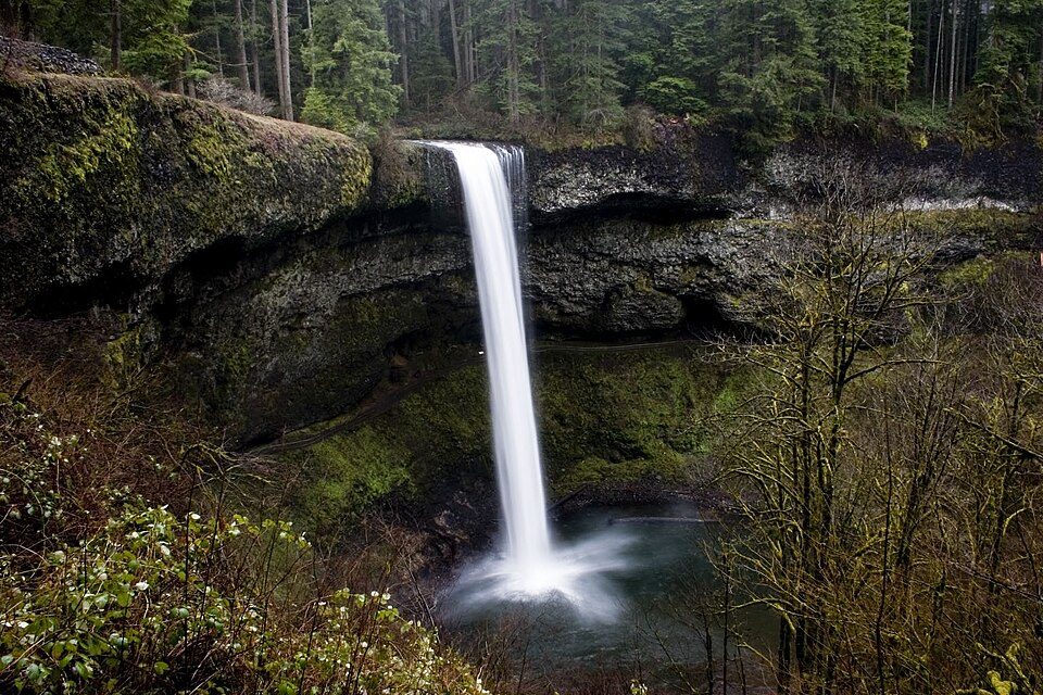
Silver Falls State Park
Silver Falls State Park is a state park in the U.S.

A state park, 5 mi north of Lyons
Silverton is the nearest base
Silverton is 13 miles northwest, with 12 places to stay. Where to stay ↓
A day trip from Portland
Portland is about 47 miles north (straight-line). Where to stay ↓
Best months: May, Jun, Jul, Aug, Sep and Oct
May, June, July, August, September and October are the mild months, with highs of 62–81°. When to go ↓
Written from NOAA 1991–2020 normals, Overture places to stay, Census town figures, Wikidata and Wikipedia.
Weather, month by month
Typical highs and lows in Lyons. Green months are the mild ones.
Silver Falls State Park
Silver Falls State Park is a state park in the U.S. state of Oregon, located near Silverton, about 20 miles (32 km) east-southeast of Salem. It is the largest state park in Oregon, with an area of more than 9,000 acres (36 km2), and it includes more than 24 miles (39 km) of walking trails, 14 miles (23 km) of horse trails, and a 4-mile (6.4 km) bike path. Its 7.2-mile (11.6 km) Canyon Trail/Trail of Ten Falls runs along the banks of Silver Creek and by ten waterfalls, from which the park received its name. Four of the ten falls have an amphitheater-like surrounding that allows the trail to pass behind the flow of the falls. The Silver Falls State Park Concession Building Area and the Silver Creek Youth Camp-Silver Falls State Park are separately listed on the U.S. National Register of Historic Places.
- Type
- State park
- Run by
- Oregon Parks and Recreation Department
- Wikipedia readers
- 12K a year
Where to stay near Silver Falls State Park
The closest towns with hotels, motels or campgrounds are Silverton (12) and Salem (31).
Silverton
The closest town with somewhere to stay.
10,450 people
13 mi northwest of Silver Falls
Compare 8 towns
| Town | From Silver Falls | Drive | Places to stay | People | Typical home | Safety |
|---|---|---|---|---|---|---|
| Silverton | 13 mi northwest | 20 min | 12 3 hotels · 5 inns & B&Bs · 1 lodge or cabins · 1 campground · 2 RV parks | 10,450 | $485K | — |
| Salem | 21 mi west | 30 min | 31 23 hotels · 2 motels · 1 inn or B&B · 2 lodges & cabins · 2 campgrounds · 1 RV park | 181,779 | $417K | D |
| Stayton | 10 mi west | 15 min | 4 1 hotel · 2 inns & B&Bs · 1 lodge or cabins | 8,488 | $410K | C+ |
| Detroit 69% vacation homes | 24 mi east | 35 min | 11 2 hotels · 1 motel · 2 lodges & cabins · 6 campgrounds | 190 | $310K | — |
| Lyons | 5 mi south | 10 min | 1 1 campground | 1,226 | $489K | — |
| Gates | 12 mi southeast | 15 min | 2 1 motel · 1 campground | 482 | $349K | — |
| Albany | 29 mi southwest | 45 min | 15 8 hotels · 4 motels · 1 campground · 2 RV parks | 56,894 | $389K | C+ |
| Woodburn | 24 mi northwest | 35 min | 8 3 hotels · 3 motels · 1 campground · 1 RV park | 31,948 | $332K | C− |
Getting there
Nearest airports with airline service
Also near Silver Falls
Other well-known places within 60 miles. Numbered ones are on the map above.
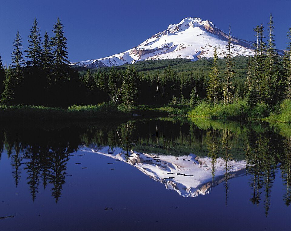 Big draw57 mi MountainMount Hood
 55 mi WaterfallMultnomah Falls
 47 mi Stadium & arenaModa Center
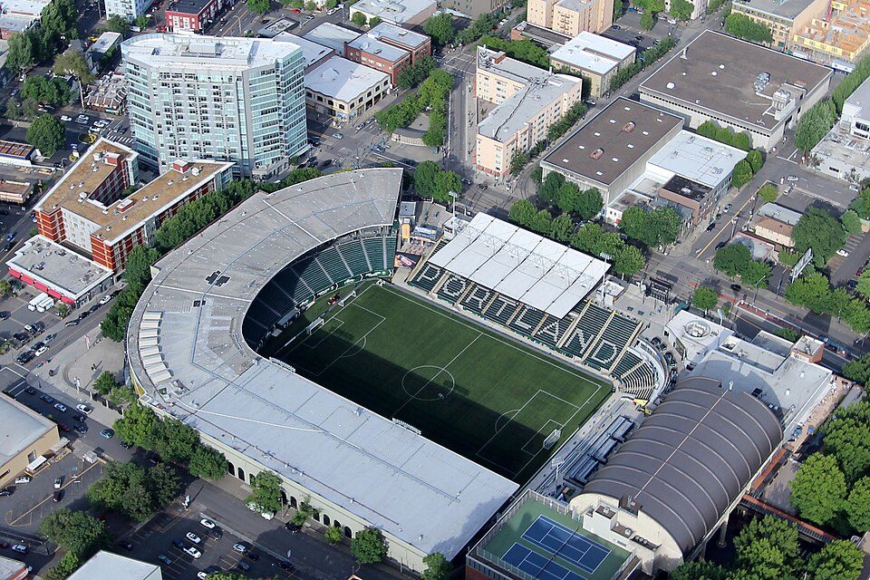 46 mi Stadium & arenaProvidence Park
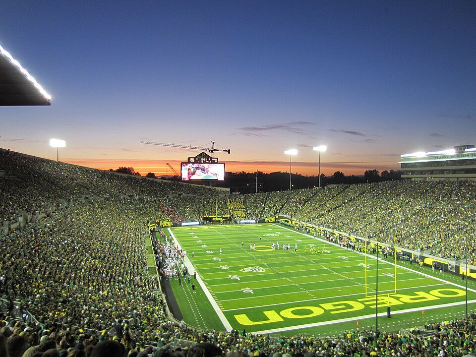 60 mi Stadium & arenaAutzen Stadium
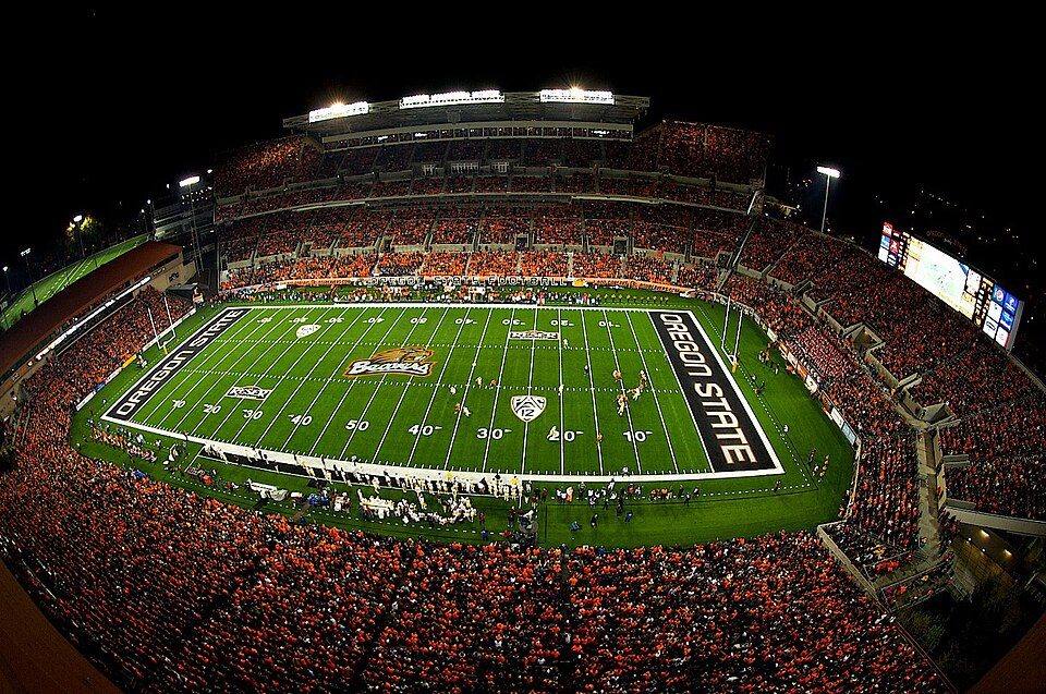 39 mi Stadium & arenaReser Stadium
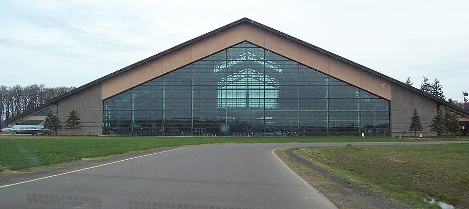 35 mi MuseumEvergreen Aviation & Space Museum
 120 mi Theme parkEnchanted Forest
Photo credits
Mount Hood: Oregon's Mt. Hood Territory., Public domain · Multnomah Falls: John Fowler from Placitas, NM, USA, CC BY 2.0 · Moda Center: Lugnuts, CC BY-SA 3.0 · Providence Park: Pdx.rollingthunder, CC BY-SA 4.0 · Autzen Stadium: Another Believer, CC BY-SA 3.0 · Reser Stadium: Zapper258, CC BY-SA 3.0 · Evergreen Aviation & Space Museum: Notkeel at English Wikipedia, Public domain · Enchanted Forest: Trashbag (talk), CC BY-SA 3.0


Visiting Silver Falls
What town is Silver Falls State Park near?
Lyons, OR, about 5 miles south.
When is the best time to visit Silver Falls State Park?
May, June, July, August, September and October, with highs of 62–81°.
How far is Silver Falls State Park from Portland?
About 47 miles north of Portland, as the crow flies.
What is the closest airport to Silver Falls State Park?
Salem-Willamette Valley Airport/McNary Field (SLE), about 20 miles away. The nearest big hub is Portland (PDX), about 51 miles.
Where should I stay near Silver Falls State Park?
Silverton (13 mi, 12 places to stay), Salem (21 mi, 31 places to stay) and Stayton (10 mi, 4 places to stay).
Tips from people in Lyons
No tips yet. Ask, or answer, in Lyons’s Town Square.
Sources: National Park Service · ski areas © OpenSkiMap / OpenStreetMap contributors · Wikidata · Wikipedia readership · NOAA climate normals · U.S. Census.