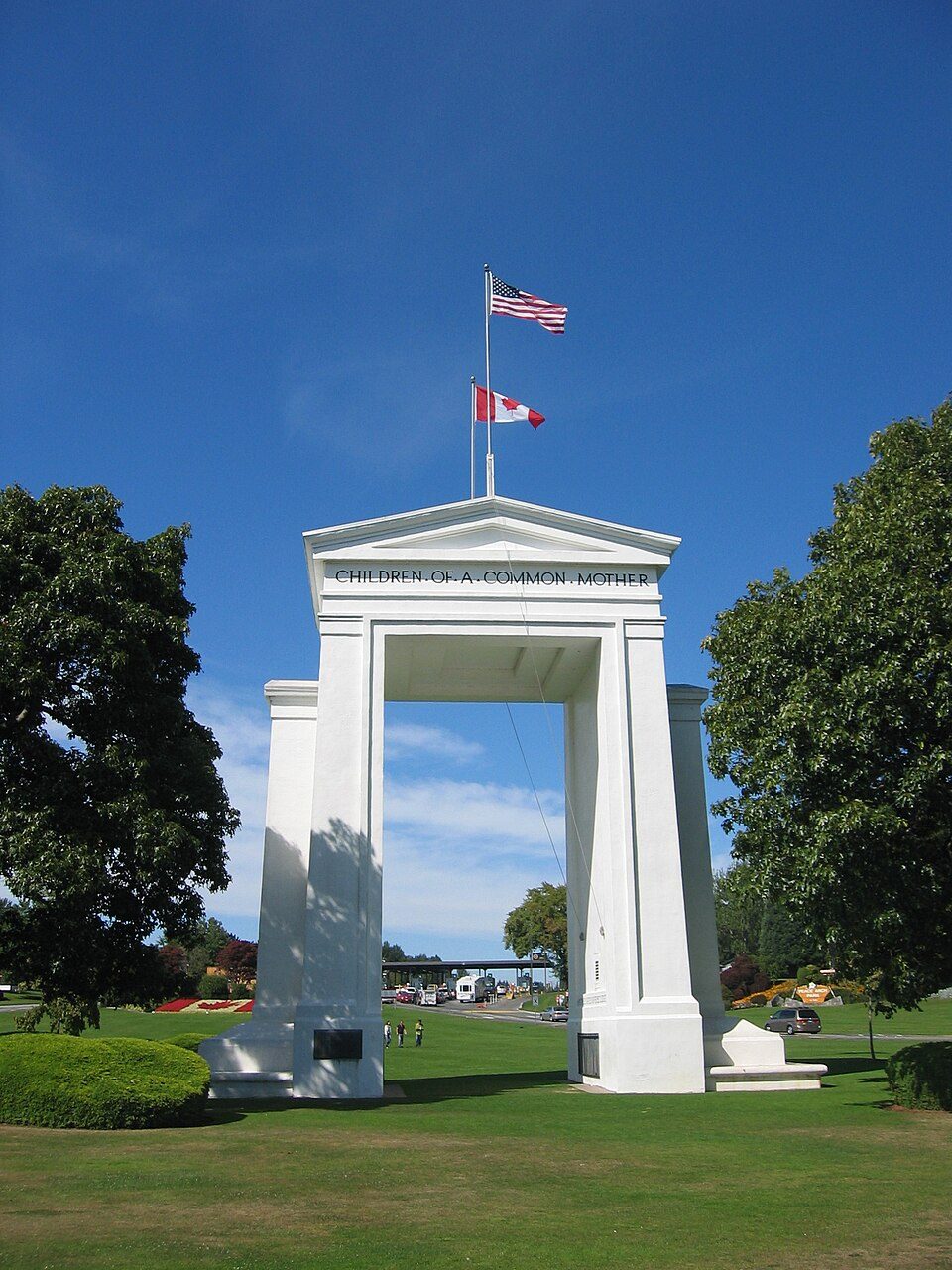
Peace Arch
The Peace Arch (French: Arche de la Paix) is a monument situated near the westernmost point of the Canada–United States border in the contiguous United States, between the communities of Blaine, Washington and Surrey, British Columbia.

A landmark, 1 mi north of Blaine
Blaine is the nearest base
Blaine is 1 miles south, with 12 places to stay. Where to stay ↓
A day trip from Seattle
Seattle is about 97 miles south (straight-line). Where to stay ↓
Best months: May, Jun, Jul, Aug and Sep
May, June, July, August and September are the mild months, with highs of 64–73°. When to go ↓
Established in 1921
Peace Arch dates from 1921. About ↓
Written from NOAA 1991–2020 normals, Overture places to stay, Census town figures, Wikidata and Wikipedia.
Weather, month by month
Typical highs and lows in Blaine. Green months are the mild ones.
Peace Arch
The Peace Arch (French: Arche de la Paix) is a monument situated near the westernmost point of the Canada–United States border in the contiguous United States, between the communities of Blaine, Washington and Surrey, British Columbia. Construction of the 20.5-metre (67 ft) tall arch was headed by American lawyer Sam Hill and dedicated in September 1921. The Peace Arch commemorates the signing of the Treaty of Ghent in 1814, and symbolizes a long history of peace between the two nations. The monument is built on the exact U.S.–Canada boundary, where Interstate 5 on the U.S. side of the border becomes Highway 99 on the Canadian side, in the grass median between the northbound and southbound lanes.
The monument and the surrounding land is part of Peace Arch Park. Within the park is Peace Arch Border Crossing, a major border crossing between Interstate 5 and British Columbia Highway 99.
- Type
- Landmark
- Established
- 1921
- Listed
- National Register of Historic Places (1996) · listed in a community heritage register (2004)
- Wikipedia readers
- 18K a year
Where to stay near Peace Arch
The closest towns with hotels, motels or campgrounds are Birch Bay (19) and Blaine (12).
Compare 8 towns
| Town | From Peace Arch | Drive | Places to stay | People | Typical home | Safety |
|---|---|---|---|---|---|---|
| Birch Bay | 6 mi south | 10 min | 19 5 hotels · 1 lodge or cabins · 6 campgrounds · 7 RV parks | 10,837 | $477K | — |
| Blaine | 1 mi south | — | 12 7 hotels · 2 motels · 1 inn or B&B · 1 campground · 1 RV park | 6,475 | $550K | C |
| Bellingham | 22 mi southeast | 30 min | 36 24 hotels · 6 motels · 3 inns & B&Bs · 2 lodges & cabins · 1 RV park | 96,395 | $628K | D |
| Ferndale | 13 mi southeast | 20 min | 9 3 hotels · 2 motels · 1 campground · 3 RV parks | 17,559 | $549K | B− |
| Lynden | 14 mi east | 20 min | 9 5 hotels · 1 motel · 1 inn or B&B · 2 campgrounds | 16,881 | $597K | B− |
| Point Roberts 60% vacation homes | 14 mi west | 20 min | 6 1 hotel · 1 motel · 2 lodges & cabins · 1 campground · 1 RV park | 1,288 | $484K | — |
| Sumas | 22 mi east | 35 min | 6 4 hotels · 1 lodge or cabins · 1 RV park | 1,672 | $442K | — |
| Marietta-Alderwood | 17 mi southeast | 25 min | 1 1 hotel | 3,754 | $547K | — |
Getting there
Nearest airports with airline service
Also near Peace Arch
Other well-known places within 60 miles. Numbered ones are on the map above.
 Big draw46 mi MountainMount Baker
 60 mi LandmarkFort Worden
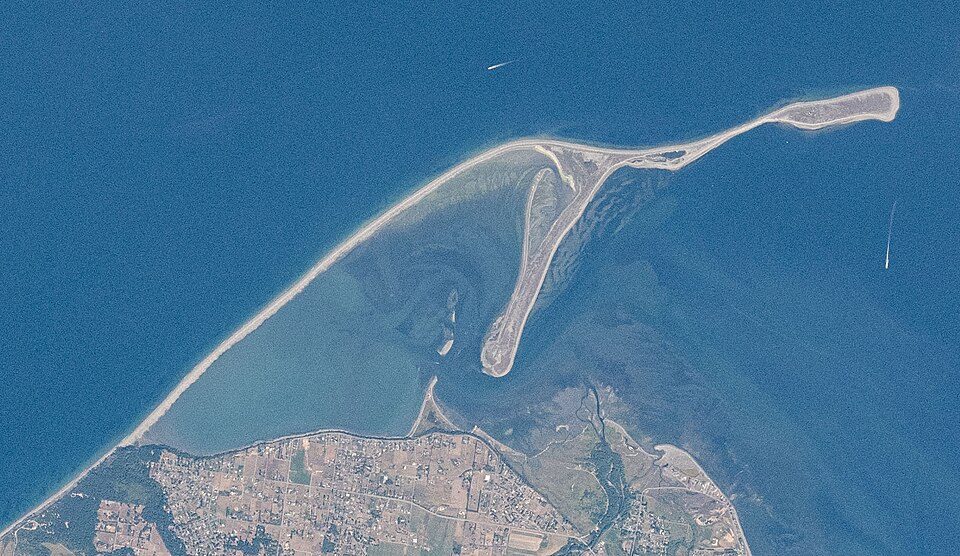 60 mi BeachDungeness Spit
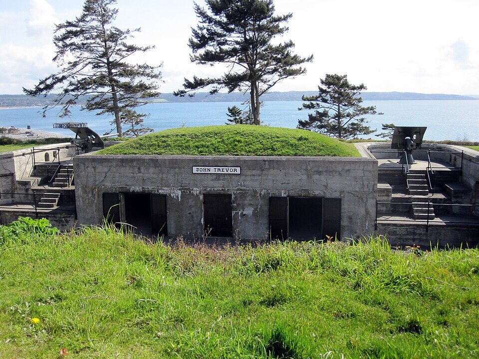 58 mi LandmarkFort Casey51 mi Ski areaMt Baker47 runs · 1,475 ft vertical
 39 mi National Historical ParkSan Juan Island National Historical Park421K visitors a year
 121 mi MuseumWhatcom Museum of History and Art
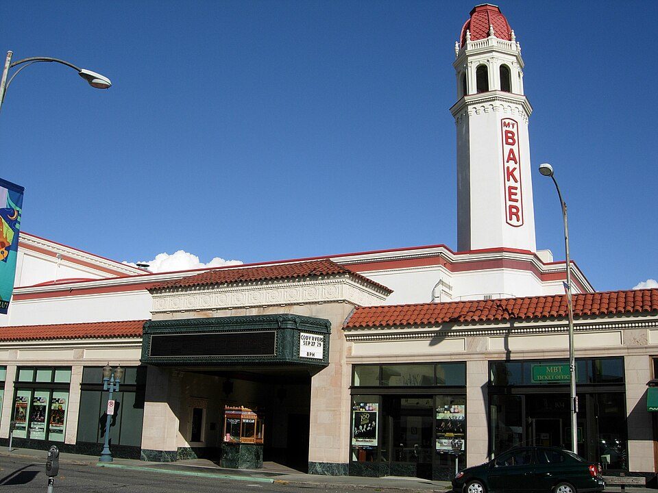 221 mi TheatreMount Baker Theatre
Photo credits
Mount Baker: Walter Siegmund (talk), CC BY 2.5 · Fort Worden: Joe Mabel, CC BY-SA 3.0 · Dungeness Spit: Unknown authorUnknown author, Public domain · Fort Casey: mikelehen, CC BY 2.0 · San Juan Island National Historical Park: Chris Light (talk), CC BY-SA 3.0 · Whatcom Museum of History and Art: Benjamin Cody, Public domain · Mount Baker Theatre: Benjamin Cody, Public domain


Visiting Peace Arch
What town is Peace Arch near?
Blaine, WA, about 1 miles south.
When is the best time to visit Peace Arch?
May, June, July, August and September, with highs of 64–73°.
How far is Peace Arch from Seattle?
About 97 miles south of Seattle, as the crow flies.
What is the closest airport to Peace Arch?
Bellingham (BLI), about 18 miles away. The nearest big hub is Seattle–Tacoma (SEA), about 109 miles.
Where should I stay near Peace Arch?
Birch Bay (6 mi, 19 places to stay), Blaine (1 mi, 12 places to stay) and Bellingham (22 mi, 36 places to stay).
Tips from people in Blaine
No tips yet. Ask, or answer, in Blaine’s Town Square.
Sources: National Park Service · ski areas © OpenSkiMap / OpenStreetMap contributors · Wikidata · Wikipedia readership · NOAA climate normals · U.S. Census.