Mt Baker
Mt. Baker Ski Area is a ski resort in the northwest United States, located in Whatcom County, Washington, at the end of State Route 542.
A ski area, 12 mi east of Glacier
About 42 inches of snow a year
The nearest weather station records about 42" of snow in a normal winter, with January nights around 30°. When to go ↓
Glacier is the nearest base
Glacier is 12 miles west, with 7 places to stay. Where to stay ↓
A day trip from Seattle
Seattle is about 91 miles south (straight-line). Where to stay ↓
Written from NOAA 1991–2020 normals, Overture places to stay, Census town figures and Wikipedia.
Weather, month by month
Typical highs and lows in Glacier.
Mt Baker
Mt. Baker Ski Area is a ski resort in the northwest United States, located in Whatcom County, Washington, at the end of State Route 542. The base elevation is at 3,500 feet (1,067 m), while the peak of the resort is at 5,089 feet (1,551 m). It is about ten miles (16 km) south of the 49th parallel, the international border with Canada. Despite its name, the Mt. Baker Ski Area is actually closer to Mount Shuksan than Mount Baker.
The ski area is home to the world's greatest recorded snowfall in one season, 1,140 inches (95.0 ft; 29.0 m), during the 1998–99 season. Mt. Baker also enjoys one of the highest average annual snowfall of any resort in the world, with 641 inches (53.4 ft; 16.3 m).
- Type
- Ski area
- Terrain
- 47 runs · 1,475 ft vertical · 10 lifts
- Wikipedia readers
- 6.2K a year
- Official site
- mtbaker.us
Where to stay near Mt Baker
The closest towns with hotels, motels or campgrounds are Glacier (7) and Marblemount (9).
Glacier
The closest town with somewhere to stay.
339 people · 66% vacation homes
12 mi west of Mt Baker
Compare 8 towns
| Town | From Mt Baker | Drive | Places to stay | People | Typical home |
|---|---|---|---|---|---|
| Glacier 66% vacation homes | 12 mi west | 20 min | 7 3 hotels · 1 inn or B&B · 2 lodges & cabins · 1 campground | 339 | $545K |
| Marblemount 29% vacation homes | 24 mi southeast | 35 min | 9 2 hotels · 2 lodges & cabins · 3 campgrounds · 2 RV parks | 291 | $296K |
| Maple Falls | 20 mi west | 30 min | 4 3 hotels · 1 lodge or cabins | 209 | $615K |
| Concrete | 23 mi south | 35 min | 3 1 hotel · 1 motel · 1 lodge or cabins | 822 | $347K |
| Sumas | 29 mi west | 45 min | 6 4 hotels · 1 lodge or cabins · 1 RV park | 1,672 | $442K |
| Kendall | 22 mi west | 30 min | 2 1 inn or B&B · 1 campground | 657 | $339K |
| Deming | 26 mi west | 40 min | 1 1 campground | 568 | $460K |
| Lyman | 29 mi southwest | 45 min | 1 1 RV park | 431 | $385K |
Getting there
Nearest airports with airline service
Also near Mt Baker
Other well-known places within 67 miles. Numbered ones are on the map above.
 Big draw19 mi MountainMount Baker
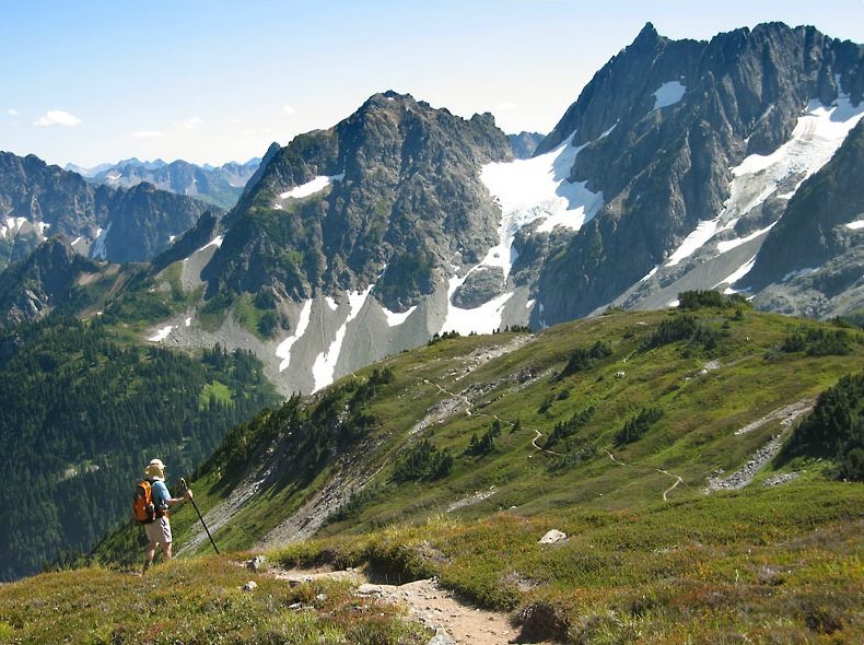 43 mi National ParkNorth Cascades National Park47K visitors a year
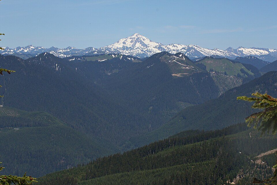 57 mi MountainGlacier Peak
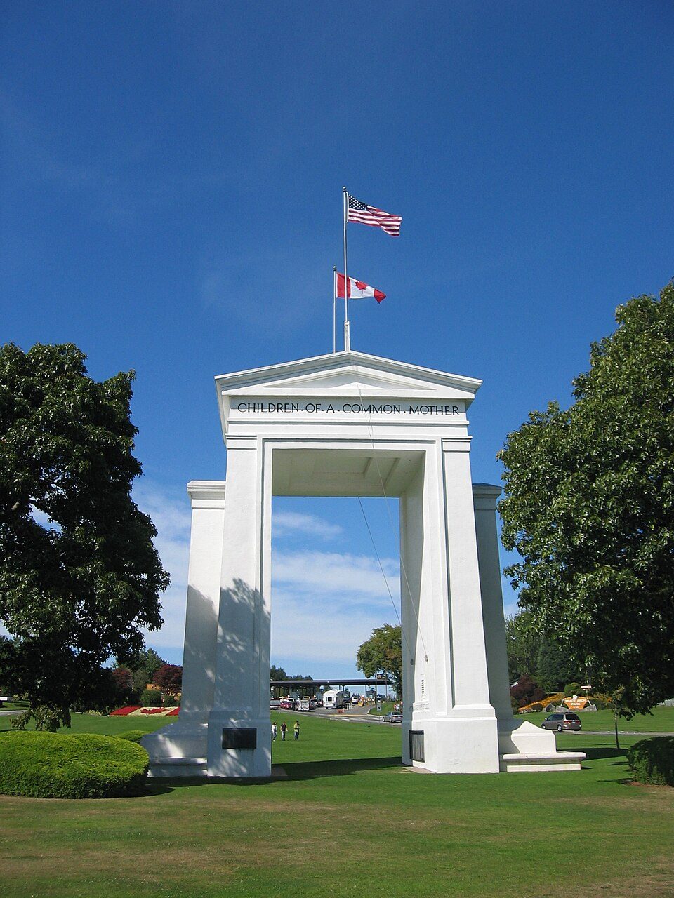 51 mi LandmarkPeace Arch
 66 mi Stadium & arenaAngel of the Winds Arena
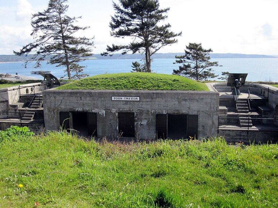 67 mi LandmarkFort Casey
 47 mi LookoutThree Fingers Lookout
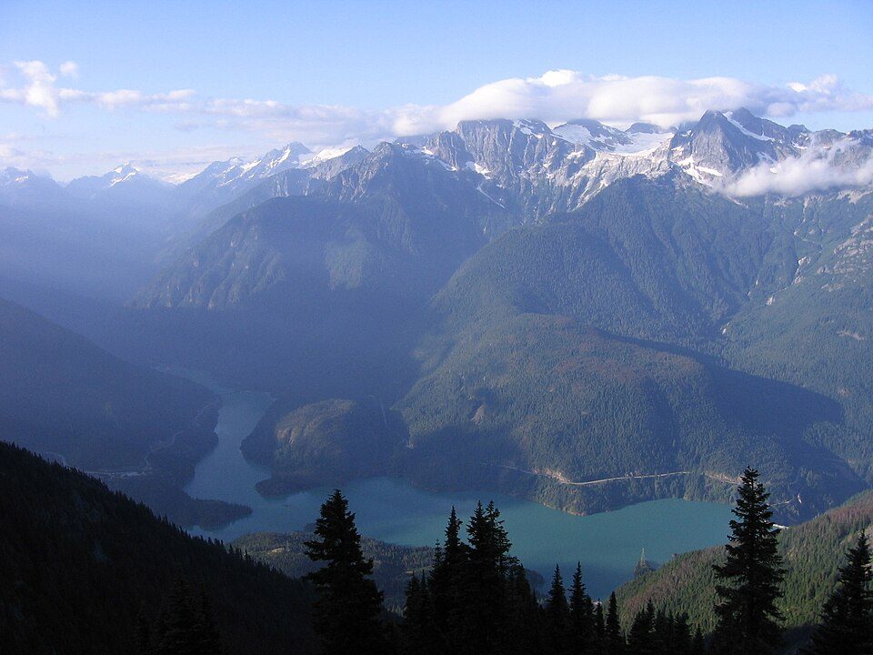 223 mi National Recreation AreaRoss Lake National Recreation Area1.2M visitors a year
Photo credits
Mount Baker: Walter Siegmund (talk), CC BY 2.5 · North Cascades National Park: Daniel Hershman, CC BY 2.0 · Glacier Peak: Walter Siegmund (talk), CC BY-SA 3.0 · Peace Arch: Arnold C (User:Buchanan-Hermit), Attribution · Angel of the Winds Arena: Joe Mabel, CC BY-SA 3.0 · Fort Casey: mikelehen, CC BY 2.0 · Three Fingers Lookout: Synchman, CC BY-SA 3.0 · Ross Lake National Recreation Area: Original uploader was MattAshman at en.wikipedia, Public domain


Visiting Mt Baker
What town is Mt Baker near?
Glacier, WA, about 12 miles west.
How far is Mt Baker from Seattle?
About 91 miles south of Seattle, as the crow flies.
What is the closest airport to Mt Baker?
Bellingham (BLI), about 40 miles away. The nearest big hub is Seattle–Tacoma (SEA), about 102 miles.
Where should I stay near Mt Baker?
Glacier (12 mi, 7 places to stay), Marblemount (24 mi, 9 places to stay) and Maple Falls (20 mi, 4 places to stay).
Tips from people in Glacier
No tips yet. Ask, or answer, in Glacier’s Town Square.
Sources: National Park Service · ski areas © OpenSkiMap / OpenStreetMap contributors · Wikidata · Wikipedia readership · NOAA climate normals · U.S. Census.