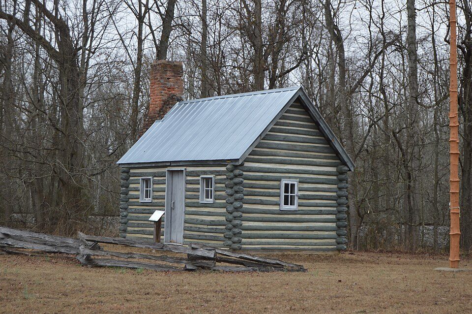
Pamunkey Indian Reservation
The Pamunkey Indian Reservation is a Native American reservation of the Pamunkey Indian Tribe. Its setting is 5 mi north of New Kent. Worth the trip, Werowocomoco is 22 mi off.

An ancient site, 5 mi north of New Kent
Plan where you’ll sleep
The nearest town with many places to stay is Sandston, 18 miles west. Where to stay ↓
A day trip from Washington
Washington is about 92 miles north (straight-line). Where to stay ↓
Best months: Apr, May, Sep and Oct
April, May, September and October are the mild months, with highs of 71–81°. When to go ↓
Written from NOAA 1991–2020 normals, Overture places to stay, Census town figures, Wikidata and Wikipedia.
The climate here
Plan a visit to Pamunkey Indian Reservation around the weather below.
Pamunkey Indian Reservation
The Pamunkey Indian Reservation is a Native American reservation of the Pamunkey Indian Tribe in King William, Virginia, United States. It lies along the Pamunkey River in King William County, Virginia on the Middle Peninsula. It contains approximately 1,200 acres (4.9 km2) of land, 500 acres (2.0 km2) of which is wetlands with numerous creeks. Thirty-four families reside on the reservation and many Tribal members live in nearby Richmond, Newport News, and other parts of Virginia.
- Type
- Ancient site
- Area
- 1,216 acres
- Elevation
- 10 ft
- Listed
- National Register of Historic Places (1982) · Virginia Historic Landmark (1980)
- Wikipedia readers
- 7.7K a year
A base for Pamunkey Indian Reservation
Rooms are nearest in Williamsburg (96) and Sandston (22).
- 1Colonial Williamsburg
- 2Hollywood Cemetery
- 3Werowocomoco
- 4White House of the Confederacy
- 5Robert E. Lee Monument
Williamsburg
The closest town with somewhere to stay.
15,861 people
27 mi southeast of Pamunkey Indian Reservation
Compare 8 towns
| Town | From Pamunkey Indian Reservation | Drive | Places to stay | People | Typical home | Safety |
|---|---|---|---|---|---|---|
| Williamsburg | 27 mi southeast | 40 min | 96 66 hotels · 5 motels · 22 inns & B&Bs · 2 lodges & cabins · 1 campground | 15,861 | $428K | B− |
| Sandston | 18 mi west | 25 min | 22 18 hotels · 2 motels · 2 inns & B&Bs | 7,399 | $220K | — |
| Richmond | 26 mi west | 40 min | 62 40 hotels · 13 motels · 5 inns & B&Bs · 3 lodges & cabins · 1 hostel | 237,257 | $353K | D |
| New Kent | 5 mi south | 5 min | 2 2 inns & B&Bs | 801 | $406K | — |
| Dumbarton | 28 mi west | 40 min | 31 29 hotels · 1 motel · 1 inn or B&B | 7,997 | $291K | — |
| Chester | 28 mi southwest | 40 min | 25 24 hotels · 1 motel | 24,474 | $327K | — |
| Ashland | 29 mi northwest | 45 min | 21 14 hotels · 4 motels · 1 inn or B&B · 1 lodge or cabins · 1 campground | 7,982 | $293K | C− |
| Glen Allen | 27 mi west | 40 min | 16 13 hotels · 1 motel · 1 inn or B&B · 1 lodge or cabins | 17,551 | $357K | — |
Day trip from
Straight-line miles.
Getting there
Nearest airports with airline service
Around Pamunkey Indian Reservation
Each of these is within 43 miles.
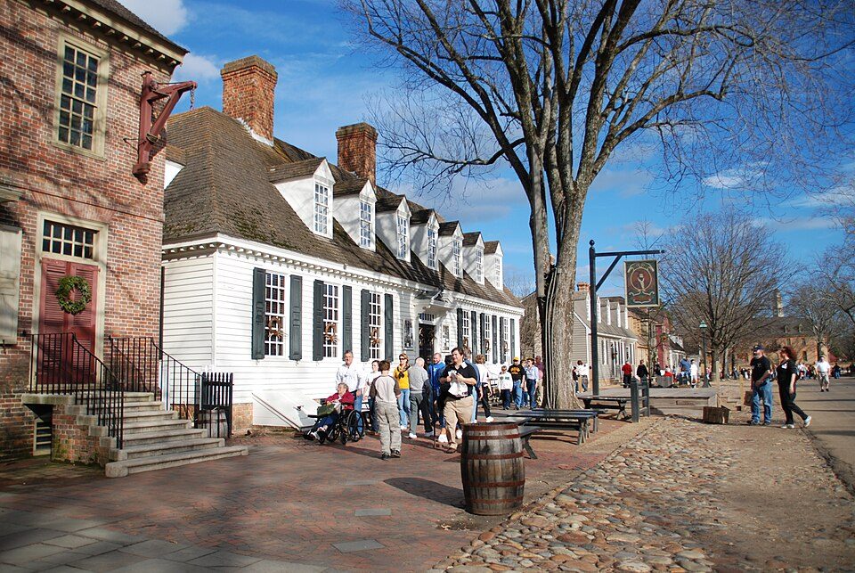 127 mi MuseumColonial Williamsburg
 30 mi Theme parkKings Dominion
 31 mi Theme parkBusch Gardens Williamsburg
 225 mi LandmarkHollywood Cemetery
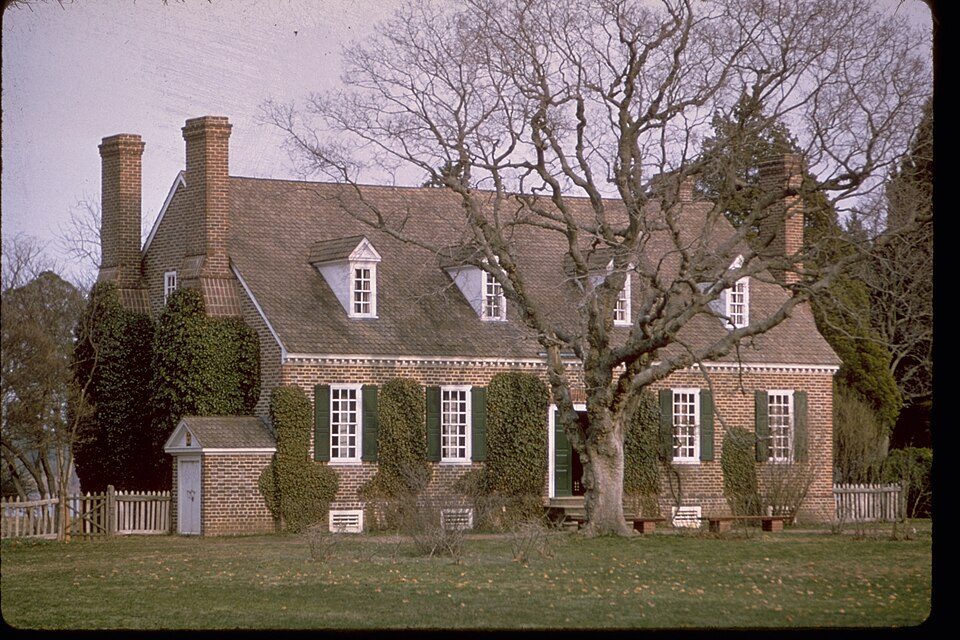 42 mi National MonumentGeorge Washington Birthplace National Monument72K visitors a year
 322 mi Ancient siteWerowocomoco
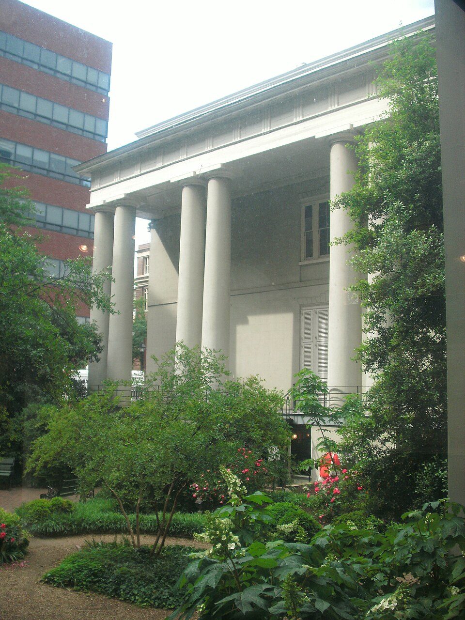 424 mi MuseumWhite House of the Confederacy
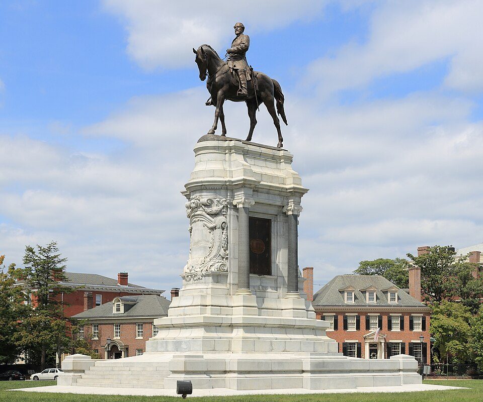 525 mi LandmarkRobert E. Lee Monument
Photo credits
Colonial Williamsburg: Humberto Moreno, CC BY 2.0 · Kings Dominion: Erechtheus, CC BY-SA 3.0 · Busch Gardens Williamsburg: Cjh1452000, CC BY-SA 4.0 · Hollywood Cemetery: Andrew Bain, Public domain · George Washington Birthplace National Monument: National Park Service Digital Image Archives, Public domain · Werowocomoco: engraved by William Hole, Public domain · White House of the Confederacy: AlbertHerring, CC BY-SA 3.0 · Robert E. Lee Monument: Martin Falbisoner, CC BY-SA 3.0


Visiting Pamunkey Indian Reservation: the answers
What town is Pamunkey Indian Reservation near?
New Kent, VA, about 5 miles south.
When is the best time to visit Pamunkey Indian Reservation?
April, May, September and October, with highs of 71–81°.
How far is Pamunkey Indian Reservation from Virginia Beach and Washington?
About 77 miles southeast of Virginia Beach and about 92 miles north of Washington, as the crow flies.
What is the closest airport to Pamunkey Indian Reservation?
Richmond (RIC), about 18 miles away.
Where should I stay near Pamunkey Indian Reservation?
Williamsburg (27 mi, 96 places to stay), Sandston (18 mi, 22 places to stay) and Richmond (26 mi, 62 places to stay).
New Kent has the answers
There are no tips yet, so start one in New Kent’s Town Square.
Sources: National Park Service · ski areas © OpenSkiMap / OpenStreetMap contributors · Wikidata · Wikipedia readership · NOAA climate normals · U.S. Census.