
Three Fingers Lookout
The Three Fingers Lookout is a historic fire observation building on one of the summits of Three Fingers Mountain. It lies 6 mi northeast of Verlot. Its operator is the United States Forest Service.

A lookout, 6 mi northeast of Verlot
Plan where you’ll sleep
The nearest town with many places to stay is Arlington, 21 miles west. Where to stay ↓
A day trip from Seattle
Seattle is about 49 miles southwest (straight-line). Where to stay ↓
Best months: Jun, Jul, Aug and Sep
June, July, August and September are the mild months, with highs of 64–72°. When to go ↓
Written from NOAA 1991–2020 normals, Overture places to stay, Census town figures, Wikidata and Wikipedia.
Warm months and cold ones
Pick a month for Three Fingers Lookout from the weather below.
Three Fingers Lookout
The Three Fingers Lookout is a historic fire observation building on one of the summits of Three Fingers Mountain in Mount Baker-Snoqualmie National Forest, Snohomish County, Washington. Built in 1930 in an extremely challenging location, it is one of the oldest surviving observation posts in the forest. It was listed on the National Register of Historic Places in 1987, and is now maintained by a local climbing group.
- Type
- Lookout
- Elevation
- 6,854 ft
- Run by
- United States Forest Service
- Listed
- National Register of Historic Places (1987)
- Wikipedia readers
- 6.2K a year
Towns to stay in near Three Fingers Lookout
Lodging nearby is in Verlot (3) and Darrington (3).
Verlot
The closest town with somewhere to stay.
224 people
6 mi southwest of Three Fingers Lookout
Compare 8 towns
| Town | From Three Fingers Lookout | Drive | Places to stay | People | Typical home | Safety |
|---|---|---|---|---|---|---|
| Verlot | 6 mi southwest | 10 min | 3 1 inn or B&B · 2 campgrounds | 224 | $336K | — |
| Darrington | 7 mi northeast | 10 min | 3 1 motel · 1 campground · 1 RV park | 1,500 | $419K | — |
| Everett | 27 mi southwest | 40 min | 27 20 hotels · 4 motels · 2 inns & B&Bs · 1 lodge or cabins | 113,567 | $565K | D |
| Marysville | 22 mi west | 35 min | 12 9 hotels · 1 motel · 2 lodges & cabins | 77,686 | $568K | C+ |
| Arlington | 21 mi west | 30 min | 10 5 hotels · 2 motels · 1 campground · 2 RV parks | 22,031 | $539K | C− |
| Lake Roesiger 57% vacation homes | 17 mi southwest | 25 min | 4 1 hotel · 3 campgrounds | 815 | $661K | — |
| Swede Heaven 27% vacation homes | 8 mi north | 10 min | 1 1 hotel | 746 | $436K | — |
| Canyon Creek | 14 mi west | 20 min | 2 1 lodge or cabins · 1 campground | 3,910 | $446K | — |
Getting there
Nearest airports with airline service
What else is near Three Fingers Lookout
A wider trip can take in these, within 50 miles.
 Big draw49 mi LookoutSpace Needle
 Big draw49 mi Stadium & arenaClimate Pledge Arena
 Big draw50 mi Stadium & arenaLumen Field
 Big draw42 mi MountainMount Baker
 50 mi Stadium & arenaT-Mobile Park
 49 mi Ancient siteSeattle Underground
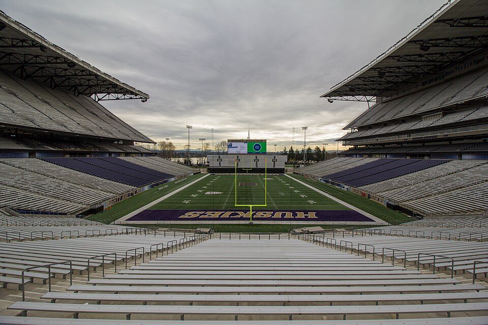 46 mi Stadium & arenaHusky Stadium
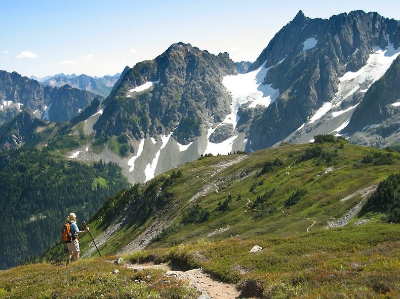 42 mi National ParkNorth Cascades National Park47K visitors a year
Photo credits
Space Needle: Another Believer, CC BY-SA 4.0 · Climate Pledge Arena: Sea Cow, CC BY-SA 4.0 · Lumen Field: "Smart Destinations", GoSeattleCard.com, and Go Seattle Card Blog, CC BY-SA 2.0 · Mount Baker: Walter Siegmund (talk), CC BY 2.5 · T-Mobile Park: MyName (Cacophony), CC BY-SA 3.0 · Seattle Underground: Mark Hursh, CC BY-SA 3.0 · Husky Stadium: Atomic Taco, CC BY-SA 2.0 · North Cascades National Park: Daniel Hershman, CC BY 2.0


Questions people have about Three Fingers Lookout
What town is Three Fingers Lookout near?
Verlot, WA, about 6 miles southwest.
When is the best time to visit Three Fingers Lookout?
June, July, August and September, with highs of 64–72°.
How far is Three Fingers Lookout from Seattle?
About 49 miles southwest of Seattle, as the crow flies.
What is the closest airport to Three Fingers Lookout?
Seattle Paine Field (PAE), about 33 miles away. The nearest big hub is Seattle–Tacoma (SEA), about 58 miles.
Where should I stay near Three Fingers Lookout?
Verlot (6 mi, 3 places to stay), Darrington (7 mi, 3 places to stay) and Everett (27 mi, 27 places to stay).
Ask people in Verlot
Ask a question, or answer one, in Verlot’s Town Square.
Sources: National Park Service · ski areas © OpenSkiMap / OpenStreetMap contributors · Wikidata · Wikipedia readership · NOAA climate normals · U.S. Census.