
Montaña de Oro State Park
Montaña de Oro ("Mountain of Gold" in Spanish) is a state park in Central Coastal California, six miles southwest of Morro Bay and two miles south of Los Osos.

A state park, 4 mi southwest of Los Osos
Morro Bay is the nearest base
Morro Bay is 8 miles north, with 56 places to stay. Where to stay ↓
Best months: Jan, Feb, Mar, Apr, May, Jun, Jul, Aug, Sep, Oct, Nov and Dec
January, February, March, April, May, June, July, August, September, October, November and December are the mild months, with highs of 63–70°. When to go ↓
Established in 1965
Montaña de Oro State Park dates from 1965. About ↓
Written from NOAA 1991–2020 normals, Overture places to stay, Census town figures, Wikidata and Wikipedia.
Weather, month by month
Typical highs and lows in Los Osos. Green months are the mild ones.
Montaña de Oro State Park
Montaña de Oro ("Mountain of Gold" in Spanish) is a state park in Central Coastal California, six miles southwest of Morro Bay and two miles south of Los Osos.
It consists of 8,000 acres (32 km2) of cliffs, seven miles of shoreline, sandy beaches, dunes, coastal plains, streams, canyons, and hills, including the 1,347-foot (411 m) Valencia Peak. The park has many hiking, mountain biking, equestrian trails and horse campsites, as well as a primitive campground located across from Spooner's Cove, a popular beach. The Bluff Trail is an easy and popular trail along the scenic coast. Trails lead to the summits of Valencia Peak, Oats Peak, and Hazard Peak.
- Type
- State park
- Established
- 1965
- Wikipedia readers
- 6.6K a year
Where to stay near Montaña de Oro State Park
The closest towns with hotels, motels or campgrounds are Morro Bay (56) and San Luis Obispo (49).
- 1Landing of the first Filipinos
- 2Mission San Luis Obispo de Tolosa
- 3Charles Paddock Zoo
- 4San Luis Obispo Railroad Museum
- 5Morro Bay Maritime Museum
Morro Bay
The closest town with somewhere to stay.
10,613 people
8 mi north of Montaña de Oro
Compare 8 towns
| Town | From Montaña de Oro | Drive | Places to stay | People | Typical home | Safety |
|---|---|---|---|---|---|---|
| Morro Bay | 8 mi north | 10 min | 56 28 hotels · 3 motels · 14 inns & B&Bs · 6 campgrounds · 5 RV parks | 10,613 | $918K | B− |
| San Luis Obispo | 11 mi east | 15 min | 49 32 hotels · 6 motels · 8 inns & B&Bs · 2 lodges & cabins · 1 hostel | 50,636 | $935K | C− |
| Pismo Beach 26% vacation homes | 13 mi southeast | 20 min | 40 22 hotels · 7 motels · 5 inns & B&Bs · 1 lodge or cabins · 1 campground · 4 RV parks | 7,911 | $1,021K | C− |
| Avila Beach 22% vacation homes | 9 mi southeast | 15 min | 13 8 hotels · 2 inns & B&Bs · 2 campgrounds · 1 RV park | 1,303 | $1,243K | — |
| Cayucos 40% vacation homes | 12 mi north | 20 min | 14 4 hotels · 5 motels · 4 inns & B&Bs · 1 lodge or cabins | 2,427 | $1,012K | — |
| Cambria 23% vacation homes | 24 mi northwest | 35 min | 47 15 hotels · 1 motel · 26 inns & B&Bs · 3 lodges & cabins · 2 campgrounds | 5,978 | $930K | — |
| Los Osos | 4 mi northeast | 5 min | 4 2 inns & B&Bs · 1 lodge or cabins · 1 campground | 14,166 | $806K | — |
| Atascadero | 18 mi northeast | 25 min | 13 8 hotels · 2 motels · 1 inn or B&B · 1 campground · 1 RV park | 29,464 | $717K | B |
Getting there
Nearest airports with airline service
Also near Montaña de Oro
Other well-known places within 52 miles. Numbered ones are on the map above.
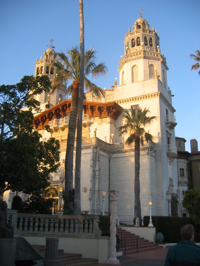 Big draw34 mi State parkHearst Castle17 mi LandmarkLanding of the first Filipinos
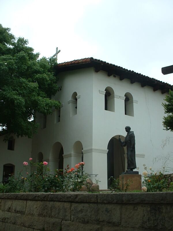 211 mi MuseumMission San Luis Obispo de Tolosa
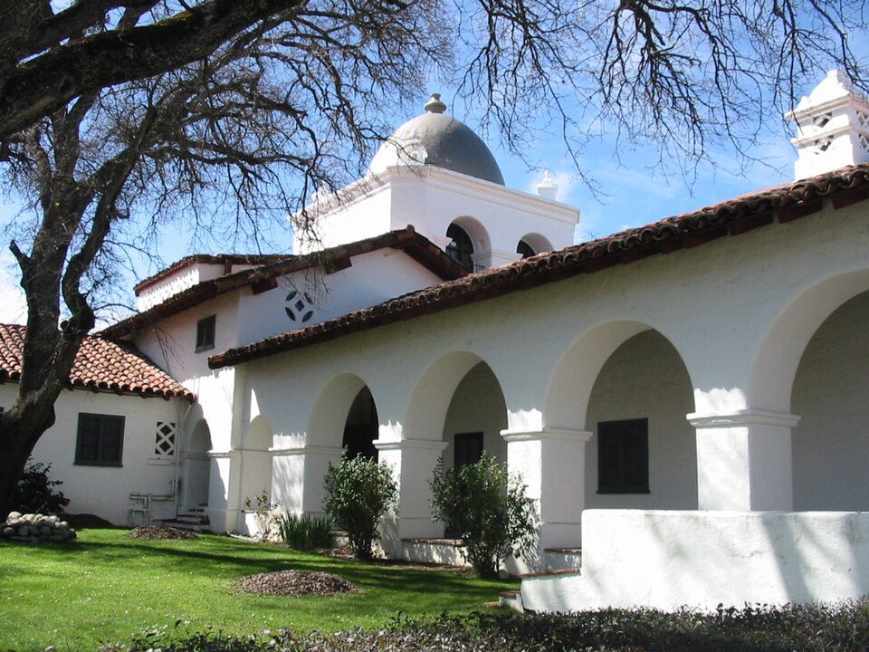 52 mi LandmarkFort Hunter Liggett
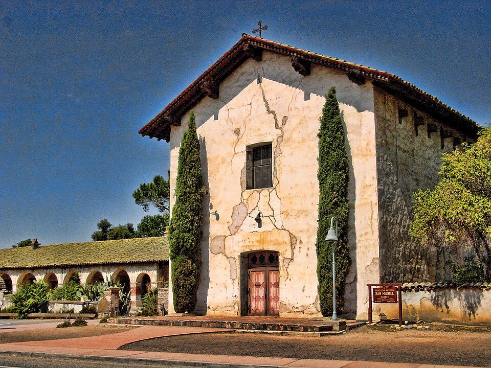 34 mi MuseumMission San Miguel Arcángel318 mi Zoo & aquariumCharles Paddock Zoo
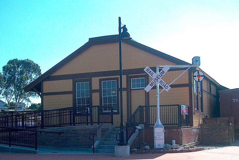 412 mi MuseumSan Luis Obispo Railroad Museum
 57 mi MuseumMorro Bay Maritime Museum
Photo credits
Hearst Castle: No machine-readable author provided. Urban~commonswiki assumed (based on copyrig, CC BY-SA 3.0 · Mission San Luis Obispo de Tolosa: Stephen Lea, CC BY-SA 3.0 · Fort Hunter Liggett: Binksternet, Public domain · Mission San Miguel Arcángel: Jsweida, CC BY-SA 3.0 · San Luis Obispo Railroad Museum: SLOGlen, CC BY-SA 4.0 · Morro Bay Maritime Museum: Hu Nhu, CC0


Visiting Montaña de Oro
What town is Montaña de Oro State Park near?
Los Osos, CA, about 4 miles northeast.
When is the best time to visit Montaña de Oro State Park?
January, February, March, April, May, June, July, August, September, October, November and December, with highs of 63–70°.
What is the closest airport to Montaña de Oro State Park?
San Luis County Regional (SBP), about 13 miles away. The nearest big hub is Fresno Yosemite (FAT), about 122 miles.
Where should I stay near Montaña de Oro State Park?
Morro Bay (8 mi, 56 places to stay), San Luis Obispo (11 mi, 49 places to stay) and Pismo Beach (13 mi, 40 places to stay).
Tips from people in Los Osos
No tips yet. Ask, or answer, in Los Osos’s Town Square.
Sources: National Park Service · ski areas © OpenSkiMap / OpenStreetMap contributors · Wikidata · Wikipedia readership · NOAA climate normals · U.S. Census.