
Sandal's boat - Flickr - emdot, 2004
Los Osos’s story
Los Osos in pictures
The archive holds 18 old photos and papers going back to 2004 and 7 maps from 1897 on.
Explore the history →Each edition grades its towns against each other only.

A town of 14,166.
For most people who can afford it, yes. Los Osos grades B+ overall, 115th of 841 graded towns in California. It has 48 miles of trail. It is healthier than 87% of U.S. towns and its public schools beat 85% of California towns on state tests and graduation. The catch is cost: homes are expensive, about $867K for a typical one and 8.9 times the San Luis Obispo metro’s $97K median household income. Los Osos’ July high is 67°F, where California’s towns sit at 89°F and U.S. towns at 85°F. Los Osos is easier to get around on foot or by transit than 92% of U.S. towns. Only 106 of California’s 1,064 towns score higher on hazard risk.
Where Los Osos beats most towns.
21.2% of the town is conserved land, across 10 parks and preserves.
Each subject compared with towns across the country (schools within California), ordered by how far Los Osos is from typical.
Its grades run from A for walkability (better than 92% of comparable towns) to D− for cost of living (better than 4%), so the B+ overall blends very different results.
How TownRatings grades towns →
The archive holds 18 old photos and papers going back to 2004 and 7 maps from 1897 on.
Explore the history →Los Osos is unincorporated, so San Luis Obispo County and regional agencies provide most services.
EPA SDWIS (Oct 9, 2026) · HIFLD + EIA-861 2025 · Census 2020 ZCTAs · NCES 2024–25 · registration: vote.gov, updated Nov 18, 2024.
Ordered by what stands out in Los Osos.
Los Osos carries less natural-hazard risk than most of California (mostly inland flooding), has fewer 90° days than nearly all U.S. towns and pairs an A for schools with high home prices.
The trail density in Los Osos is 3.8 miles per square mile. Montaña de Oro State Park, at 1,071 acres with 5.5 miles of trail, is the biggest park or preserve.
| Biggest places to walk | Trails | Acres |
|---|---|---|
| 1. Montaña de Oro State Park | 5.5 mi | 1,071 |
| 2. Morro Dunes Natural Preserve | 3.8 mi | 791 |
| 3. Los Osos Oaks State Natural Reserve | 2.2 mi | 84 |
Trails & parks © OpenStreetMap contributors · Conserved land: USGS PAD-US
Its A for schools comes with a D− for cost of living: the typical home is worth about $867K.
Its public schools are run by the San Luis Coastal Unified school district. Two of its 4 schools are below, each with why it’s listed.
| School | Level | Students | Letter |
|---|---|---|---|
| Los Osos MiddleLargest public middle schoolGrades 6–8 | Grades 6–8 | 494 | A− |
| Monarch Grove ElementaryTop results in townGrades K–5 | Grades K–5 | 324 | A |
NCES · EDFacts · graded within CA on state tests and graduation
30% of Los Osos adults sleep under 7 hours. Los Osos beats the California average on 15 of 32 CDC measures and trails it on 4. 26% of Los Osos adults have obesity.
| Los Osos | California towns | U.S. towns | |
|---|---|---|---|
| Sleep under 7 hours (CDC PLACES) | 30% | 35% | 36% |
| Obesity (CDC PLACES) | 26% | 29% | 35% |
| Get no exercise (CDC PLACES) | 18% | 24% | 25% |
| Frequent mental distress (CDC PLACES) | 15% | 17% | 17% |
| What stands out | Los Osos | CA |
|---|---|---|
| Fewer uninsured adults | 5.5% | 10.6% |
| Fewer adults facing food insecurity | 9.5% | 17.9% |
| More adults who have had cancer | 10.9% | 6.4% |
CDC PLACES 2025 · modeled estimates for adults · CMS · HRSA
The average commute for its 5,584 working residents takes 19.3 minutes, against 28.7 across California.
Most working residents leave Los Osos for work: only 11% work in town. Los Osos’ average trip to work is 19 minutes. Since 2013, Los Osos has added 383 jobs, to 1,959 in 2023.
| Los Osos | California towns | U.S. towns | |
|---|---|---|---|
| Average trip to work | 19 minutes | 28 minutes | 25 minutes |
| Median household income | $109,000 | $95,000 | $80,000 |
| Work from home | 15% | 14% | 11% |
| Working residents who work in town | 11% | 6.6% | 8% |
Census LEHD 2023 · ACS
The Morro Bay Fire Dept weather station records that about 1 days a year reach 90°, fewer than in 96% of U.S. towns. January nights average 45.8°, milder than in 97% of U.S. towns; July afternoons average 67.3°.
Los Osos has warm winters and cool summers, with very little rain. Snow is almost unheard of.
NOAA U.S. Climate Normals, 1991–2020
The typical Los Osos home is worth about $867,000, up 2.8% in a year, 14% above the California typical home.
| Los Osos | California towns | U.S. towns | |
|---|---|---|---|
| Median rent | $2,047 a month | $1,895 a month | $1,185 a month |
| Households that own their home | 73% | 64% | 73% |
| Renters paying 30%+ of income on rent | 49% | 55% | 48% |
Zillow Home Value Index · Redfin Data Center
FEMA rates its natural-hazard risk lower than 90% of California towns, with expected losses of about $268 per resident a year; that rating is what its C+ for hazard risk is built on.
Since 1992, 10 flood insurance claims have been paid out in Los Osos.
FEMA flood insurance claims · FEMA National Risk Index · OpenFEMA
Museums, parks, gardens and other places to visit around Los Osos. Close and well known come first.
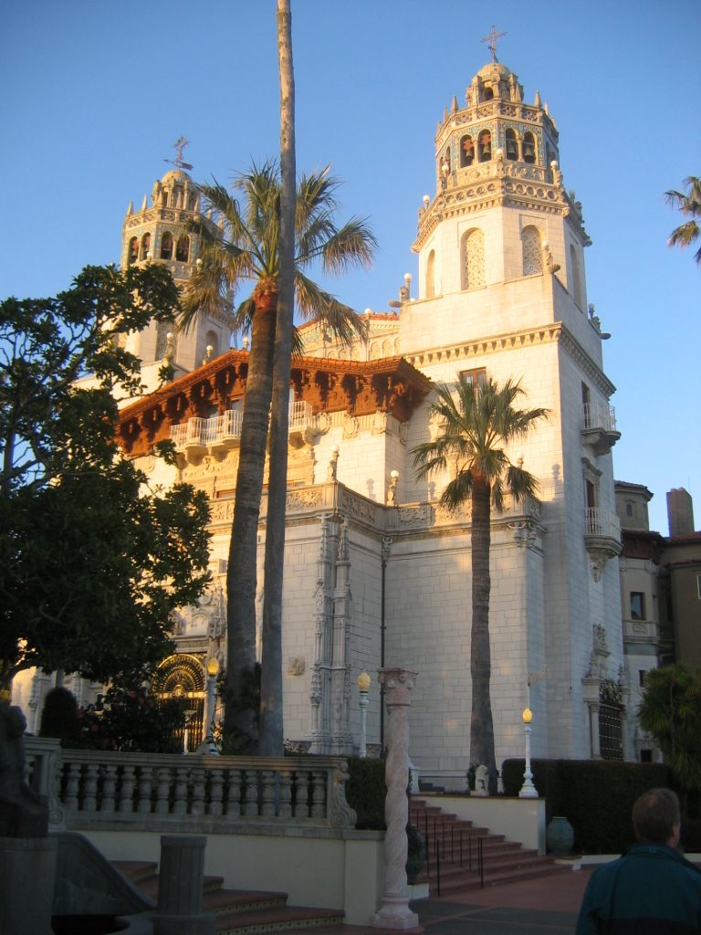 Big draw33 mi State parkHearst Castle5 mi LandmarkLanding of the first Filipinos
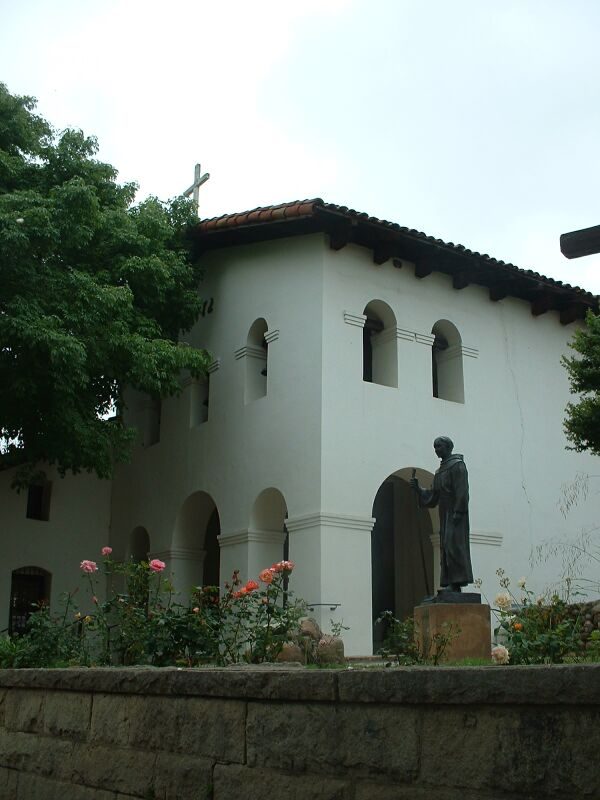 9 mi MuseumMission San Luis Obispo de Tolosa
 4 mi State parkMontaña de Oro State Park
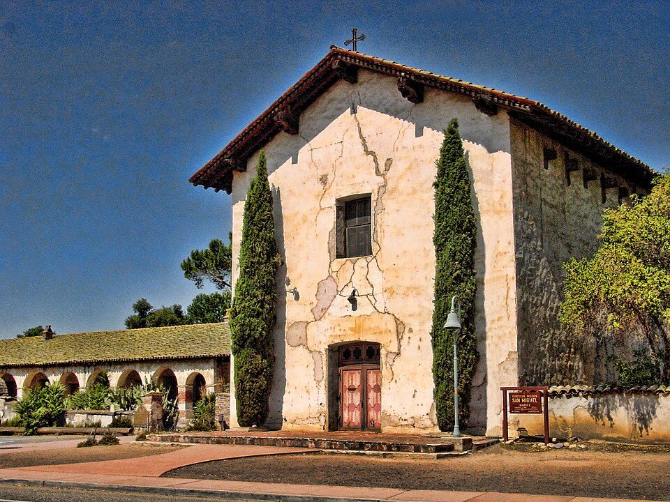 31 mi MuseumMission San Miguel Arcángel14 mi Zoo & aquariumCharles Paddock Zoo
Hearst Castle: No machine-readable author provided. Urban~commonswiki assumed (based on copyrig, CC BY-SA 3.0 · Mission San Luis Obispo de Tolosa: Stephen Lea, CC BY-SA 3.0 · Montaña de Oro State Park: BorisFromStockdale, CC BY-SA 3.0 · Mission San Miguel Arcángel: Jsweida, CC BY-SA 3.0
3 within 15 miles of the center of Los Osos
About 6 of every 100 Los Osos residents are enrolled in college, against 8 across California.
Where Los Osos’s working residents go each day. Line width shows the share.
Census LEHD 2023
Unincorporated community in California, United States
Los Osos (Spanish for "the bears") is an unincorporated town in San Luis Obispo County, California, United States. Located on the Central Coast of California, Los Osos had a reported population of 14,465 in 2020. For statistical purposes, the United States Census Bureau has defined Los Osos as a census-designated place (CDP).
From Wikipedia, licensed CC BY-SA 4.0 · facts via Wikidata (CC0)
Short answers, built from the data on this page.
For most people who can afford it, yes. Los Osos grades B+ overall, better than 65% of U.S. towns and #115 of 841 in California. It grades A for health and A for schools. Cost of living is its weak spot, with a D−.
Yes. Cost of living, which also weighs rents, property taxes and how many households pay 30% or more of their income for housing, grades D−.


