156 years in pictures
Census counts: 1,659 in 1950, 10,757 in 2020. The archive holds 3 old photos and papers going back to 2007 and 7 maps from 1897 on.
1 place on the National Register of Historic Places.
- 1870Morro Bay is settled
Each edition grades its towns against each other only.

Morro Bay's standout: it has 16 miles of trail. Overall it grades B−, 200th among California's 841 graded towns. Its schools rank ahead of 85% of California towns and residents are healthier than 82% of U.S. towns on CDC estimates. Its weakest subject is cost of living: homes are expensive, about $935K for a typical one and 9.6 times the San Luis Obispo metro’s $97K median household income. 33% of residents are 65 or older in Morro Bay, where California’s towns sit at 16% and U.S. towns at 18%. Morro Bay's civic life (library use, community groups, volunteering) is stronger than in 97% of U.S. towns. Morro Bay is easier to get around on foot or by transit than 86% of U.S. towns.
Where Morro Bay beats most towns.
19.5% of the town is conserved land, across 15 parks and preserves.
Each subject compared with towns across the country (schools within California), ordered by how far Morro Bay is from typical.
Its grades run from A for walkability (better than 86% of comparable towns) to D− for cost of living (better than 4%), so the B− overall blends very different results.
How TownRatings grades towns →
Census counts: 1,659 in 1950, 10,757 in 2020. The archive holds 3 old photos and papers going back to 2007 and 7 maps from 1897 on.
1 place on the National Register of Historic Places.
Who provides power, water and the rest in Morro Bay, and how to reach them.
EPA SDWIS (Oct 9, 2026) · HIFLD + EIA-861 2025 · Census 2020 ZCTAs · NCES 2024–25 · registration: vote.gov, updated Nov 18, 2024.
Ordered by what stands out in Morro Bay.
Morro Bay is a second-home town and has fewer 90° days than nearly all U.S. towns, but it has homes that cost more against local pay than most of California.
Its A+ for the outdoors ranks #16 of 847 in California.
Morro Bay’s trail density is 1.5 miles per square mile. Morro Bay State Park, at 973 acres with 11.8 miles of trail, is the biggest park or preserve.
| Biggest places to walk | Trails | Acres |
|---|---|---|
| 1. Morro Bay State Park | 11.8 mi | 973 |
| 2. Morro Strand State Beach | 1.1 mi | 165 |
| 3. North Point Natural Area | 0.4 mi | 6 |
Trails & parks © OpenStreetMap contributors · Conserved land: USGS PAD-US
Its A for schools comes with a D− for cost of living: the typical home is worth about $935K.
Its public schools are run by the San Luis Coastal Unified school district. Its two schools are below. The largest public high school is Morro Bay High, with 751 students.
| School | Level | Students | Letter |
|---|---|---|---|
| Del Mar ElementaryLargest public elementary schoolGrades K–5 | Grades K–5 | 271 | B+ |
| Morro Bay HighLargest public high schoolGrades 9–12 | Grades 9–12 | 751 | B+ |
NCES · EDFacts · graded within CA on state tests and graduation
30% of Morro Bay adults sleep under 7 hours. Morro Bay beats the California average on 15 of 32 CDC measures and trails it on 6. 26% of Morro Bay adults have obesity.
| Morro Bay | California towns | U.S. towns | |
|---|---|---|---|
| Sleep under 7 hours (CDC PLACES) | 30% | 35% | 36% |
| Obesity (CDC PLACES) | 26% | 29% | 35% |
| Frequent mental distress (CDC PLACES) | 14% | 17% | 17% |
| Feel lonely (CDC PLACES) | 31% | 36% | 33% |
| What stands out | Morro Bay | CA |
|---|---|---|
| Fewer adults facing food insecurity | 9.6% | 17.9% |
| Fewer uninsured adults | 5.7% | 10.6% |
| More adults who have had cancer | 11.8% | 6.4% |
CDC PLACES 2025 · modeled estimates for adults · CMS · HRSA
The average commute for its 4,127 working residents takes 19.7 minutes, against 28.7 across California.
Most working residents leave Morro Bay for work: only 19% work in town. The average trip to work in Morro Bay is 20 minutes. Since 2013, Morro Bay has added 163 jobs, to 3,068 in 2023.
| Morro Bay | California towns | U.S. towns | |
|---|---|---|---|
| Average trip to work | 20 minutes | 28 minutes | 25 minutes |
| Working residents who work in town | 19% | 6.6% | 8% |
| Median household income | $96,000 | $95,000 | $80,000 |
| Below the poverty line | 8.4% | 10% | 9.6% |
Census LEHD 2023 · ACS
Expected storm and flood damage is higher than in 77% of U.S. communities. Since 1982, 29 flood insurance claims have been paid out in Morro Bay.
FEMA flood insurance claims · FEMA National Risk Index · OpenFEMA
At 9.6 years of the San Luis Obispo metro’s $97K median household income, the typical home (about $935K) costs more against local pay than in 75% of California towns; that ratio is one input to its D− for cost of living.
The typical Morro Bay home is worth about $935,000, up 1.4% in a year, 23% above the California typical home.
| Morro Bay | California towns | U.S. towns | |
|---|---|---|---|
| Median rent | $1,858 a month | $1,898 a month | $1,185 a month |
| Households that own their home | 65% | 64% | 73% |
Zillow Home Value Index · Redfin Data Center
The Morro Bay Fire Dept weather station records that about 1 days a year reach 90°, fewer than in 96% of U.S. towns. January nights average 45.6°, milder than in 97% of U.S. towns; July afternoons average 68.3°.
Morro Bay has warm winters and cool summers, with very little rain. Snow is almost unheard of.
| Morro Bay | California towns | U.S. towns | |
|---|---|---|---|
| July high | 68°F | 89°F | 85°F |
| January low | 46°F | 40°F | 22°F |
NOAA U.S. Climate Normals, 1991–2020
Within California, it does better than 78% of towns.
| Morro Bay | California towns | U.S. towns | |
|---|---|---|---|
| Violent crimes per 1,000 (2025) | 1.9 per 1,000 residents | 2.9 | 1.6 |
| Property crimes per 1,000 (2025) | 10 per 1,000 residents | 13.4 | 9.9 |
FBI crime data, 2025 · crimes reported to police
Museums, parks, gardens and other places to visit around Morro Bay. Close and well known come first.
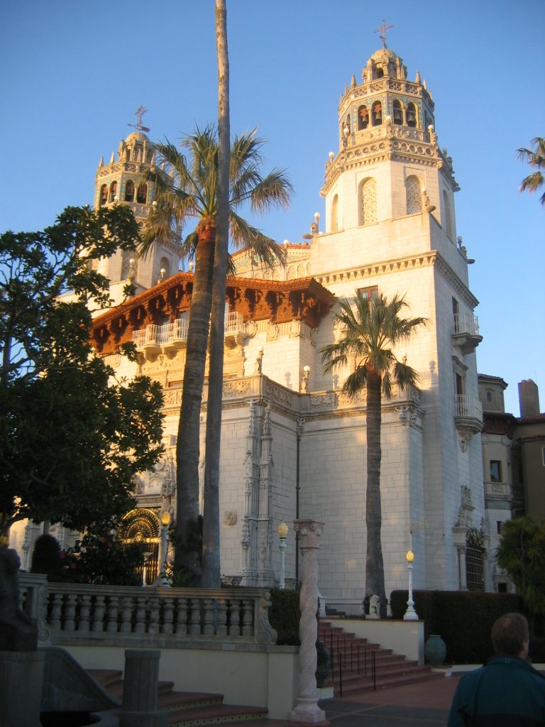
Big draw28 mi State parkHearst Castlein town LandmarkLanding of the first Filipinos
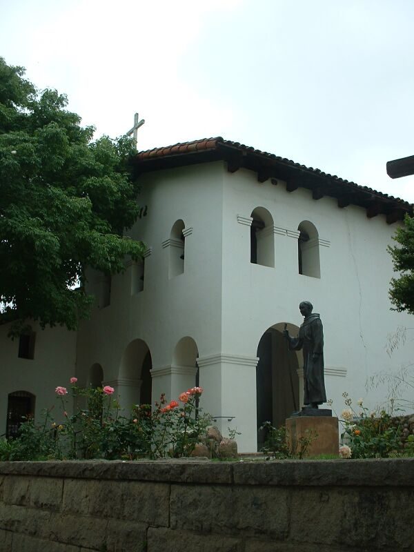
13 mi MuseumMission San Luis Obispo de Tolosa
8 mi State parkMontaña de Oro State Park
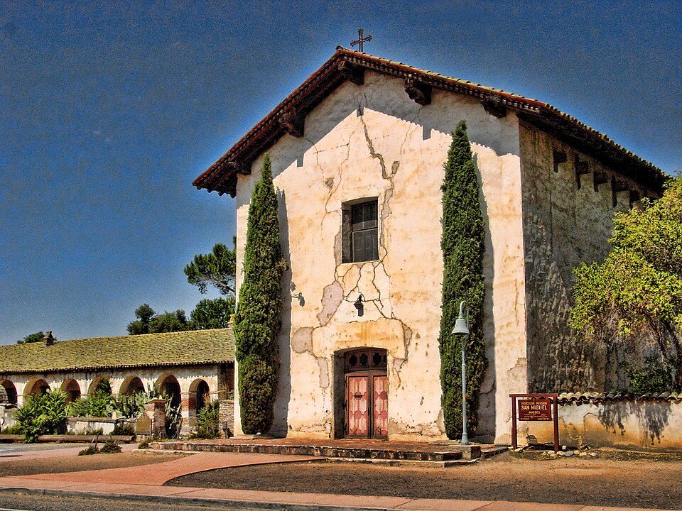
27 mi MuseumMission San Miguel Arcángel
in town MuseumMorro Bay Maritime MuseumHearst Castle: No machine-readable author provided. Urban~commonswiki assumed (based on copyrig, CC BY-SA 3.0 · Mission San Luis Obispo de Tolosa: Stephen Lea, CC BY-SA 3.0 · Montaña de Oro State Park: BorisFromStockdale, CC BY-SA 3.0 · Mission San Miguel Arcángel: Jsweida, CC BY-SA 3.0 · Morro Bay Maritime Museum: Hu Nhu, CC0
3 within 15 miles of the center of Morro Bay
About 5 of every 100 Morro Bay residents are enrolled in college, against 8 across California.
City in California, United States
Morro Bay (Morro, Spanish for "Hill") is a seaside city in San Luis Obispo County, California, United States. Located on the Central Coast of California, the town overlooks Morro Bay, a natural embayment with an all-weather, small-craft, commercial and recreational harbor.
From Wikipedia, licensed CC BY-SA 4.0 · facts via Wikidata (CC0)
One town shares a border with Morro Bay.
Cayucos has fewer than 2,500 residents, so it gets subject grades but no overall grade. Cayucos reports no FBI crime data of its own. Compare Morro Bay with a neighbor →
Short answers, built from the data on this page.
Morro Bay grades B− overall, better than 50% of U.S. towns and #200 of 841 in California. It grades A− for health, B− for safety and A for schools. Cost of living is its weak spot, with a D−.
Within California, it does better than 78% of towns.
Yes. Cost of living, which also weighs rents, property taxes and how many households pay 30% or more of their income for housing, grades D−.