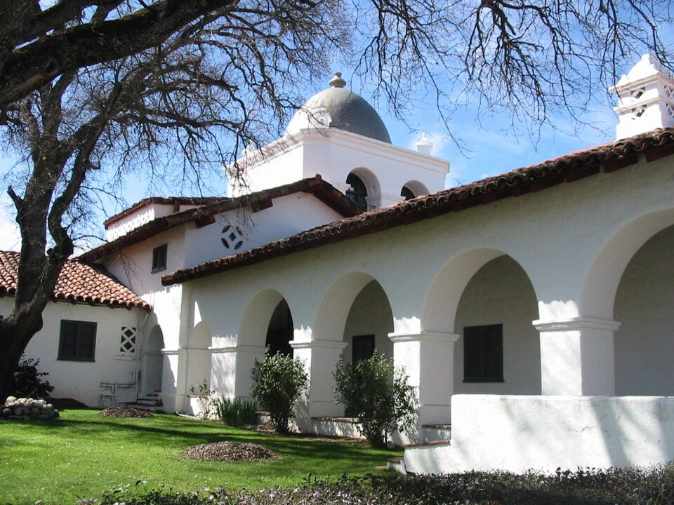
Fort Hunter Liggett
Fort Hunter Liggett is a United States Army post in Jolon, California, in southern Monterey County, California. Its address puts it 3 mi south of Fort Hunter Liggett. Management falls to the United States Army Installation Management Command.

A landmark, 3 mi south of Fort Hunter Liggett
Plan where you’ll sleep
The nearest town with many places to stay is King City, 19 miles north. Where to stay ↓
A day trip from Fresno
Fresno is about 98 miles northeast and San Jose is about 98 miles north (straight-line). Where to stay ↓
Best months: Apr, May, Jun and Oct
April, May, June and October are the mild months, with highs of 71–83°. When to go ↓
Established in 1940
Fort Hunter Liggett dates from 1940 and is run by United States Army Installation Management Command and United States Army. About ↓
Written from NOAA 1991–2020 normals, Overture places to stay, Census town figures, Wikidata and Wikipedia.
The year’s weather
Plan a visit to Fort Hunter Liggett around the weather below.
Fort Hunter Liggett
Fort Hunter Liggett is a United States Army post in Jolon, California, in southern Monterey County, California. The fort, named in 1941 after General Hunter Liggett, is primarily used as a training facility, where activities such as field maneuvers and live fire exercises are performed. It is roughly 25 miles northwest of Camp Roberts, California.
- Type
- Landmark
- Established
- 1940
- Run by
- United States Army Installation Management Command · United States Army
- Wikipedia readers
- 21K a year
Overnight near Fort Hunter Liggett
Hotels, motels or campgrounds are closest in Cambria (47) and King City (8).
Cambria
The closest town with somewhere to stay.
5,978 people · 23% vacation homes
29 mi south of Fort Hunter Liggett
Compare 7 towns
| Town | From Fort Hunter Liggett | Drive | Places to stay | People | Typical home | Safety |
|---|---|---|---|---|---|---|
| Cambria 23% vacation homes | 29 mi south | 45 min | 47 15 hotels · 1 motel · 26 inns & B&Bs · 3 lodges & cabins · 2 campgrounds | 5,978 | $930K | — |
| Fort Hunter Liggett | 3 mi north | 5 min | 2 2 hotels | 1,119 | — | — |
| King City | 19 mi north | 30 min | 8 5 hotels · 2 motels · 1 inn or B&B | 14,002 | $450K | C+ |
| San Simeon 32% vacation homes | 24 mi south | 35 min | 14 7 hotels · 4 motels · 1 inn or B&B · 1 lodge or cabins · 1 campground | 217 | $443K | — |
| Greenfield | 26 mi north | 40 min | 3 2 motels · 1 RV park | 21,138 | $531K | C− |
| Oak Shores 86% vacation homes | 19 mi southeast | 30 min | 1 1 inn or B&B | 128 | $525K | — |
| Lake Nacimiento 31% vacation homes | 25 mi southeast | 40 min | 1 1 campground | 3,339 | $504K | — |
Getting there
Nearest airports with airline service
Also within reach
Also within 60 miles are these.
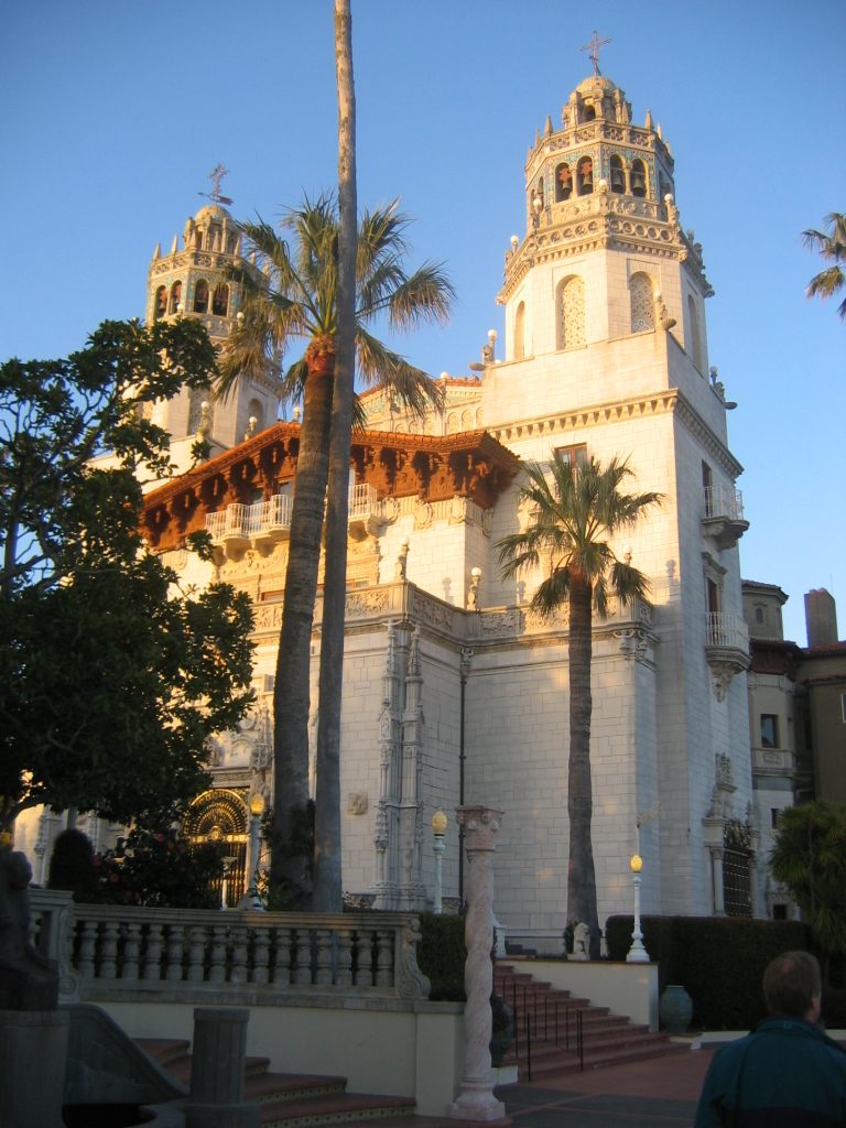 Big draw119 mi State parkHearst Castle
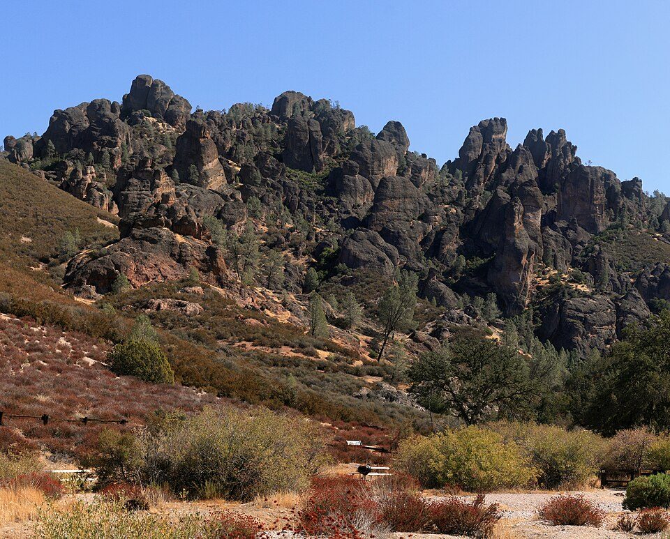 37 mi National ParkPinnacles National Park343K visitors a year
 59 mi Zoo & aquariumMonterey Bay Aquarium
 58 mi MuseumMonterey Museum of Art
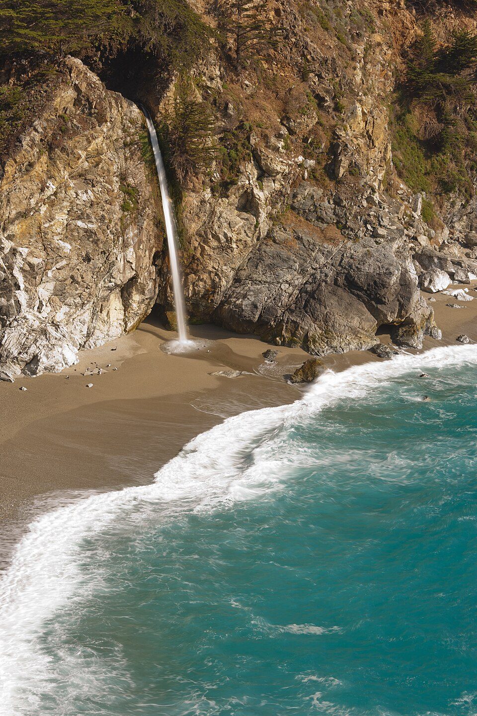 228 mi WaterfallMcWay Falls
 60 mi Scenic drive17-Mile Drive45 mi LandmarkLanding of the first Filipinos
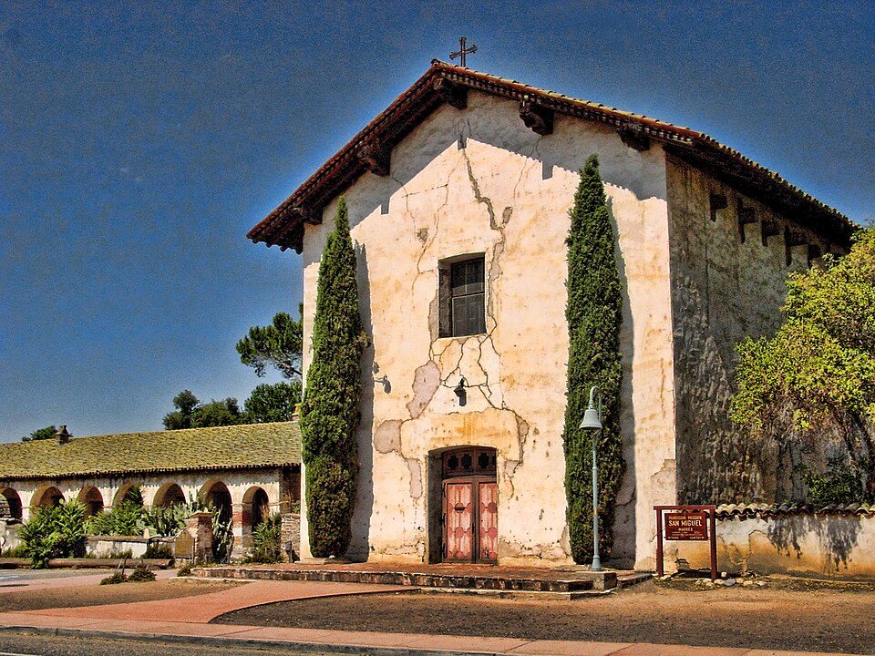 33 mi MuseumMission San Miguel Arcángel
Photo credits
Hearst Castle: No machine-readable author provided. Urban~commonswiki assumed (based on copyrig, CC BY-SA 3.0 · Pinnacles National Park: Brocken Inaglory, CC BY-SA 3.0 · Monterey Bay Aquarium: Meij.kobayashi, Public domain · Monterey Museum of Art: Sgerbic, CC BY-SA 4.0 · McWay Falls: King of Hearts, CC BY-SA 3.0 · 17-Mile Drive: Humanoid one, CC BY-SA 3.0 · Mission San Miguel Arcángel: Jsweida, CC BY-SA 3.0


Fort Hunter Liggett, answered
What town is Fort Hunter Liggett near?
Fort Hunter Liggett, CA, about 3 miles north.
When is the best time to visit Fort Hunter Liggett?
April, May, June and October, with highs of 71–83°.
How far is Fort Hunter Liggett from Fresno and San Jose?
About 98 miles northeast of Fresno and about 98 miles north of San Jose, as the crow flies.
What is the closest airport to Fort Hunter Liggett?
Monterey Regional (MRY), about 56 miles away. The nearest big hub is Fresno Yosemite (FAT), about 102 miles.
Where should I stay near Fort Hunter Liggett?
Cambria (29 mi, 47 places to stay), King City (19 mi, 8 places to stay) and San Simeon (24 mi, 14 places to stay).
What locals in Fort Hunter Liggett say
Share what you know in Fort Hunter Liggett’s Town Square.
Sources: National Park Service · ski areas © OpenSkiMap / OpenStreetMap contributors · Wikidata · Wikipedia readership · NOAA climate normals · U.S. Census.