
Mark Twain National Forest
Mark Twain National Forest (MTNF) is a U.S. National Forest located in the southern half of Missouri, composed of nine disconnected parcels. It stands 6 mi south of Viburnum. Its origins go back to 1939.

A national forest, 6 mi south of Viburnum
Plan where you’ll sleep
The nearest town with many places to stay is Salem, 24 miles west. Where to stay ↓
Best months: Apr, May, Jun, Sep and Oct
April, May, June, September and October are the mild months, with highs of 68–83°. When to go ↓
Established in 1939
Mark Twain National Forest dates from 1939. About ↓
Written from NOAA 1991–2020 normals, Overture places to stay, Census town figures, Wikidata and Wikipedia.
The year’s weather
Below are typical highs and lows near Mark Twain National Forest.
Mark Twain National Forest
Mark Twain National Forest (MTNF) is a U.S. National Forest located in the southern half of Missouri, composed of nine disconnected parcels. MTNF was established on September 11, 1939. It is named for author Mark Twain, a Missouri native. The MTNF covers 3,068,800 acres (4,795 sq mi) of which 1,506,100 acres (2,353.3 sq mi) is public owned, 78,000 acres (122 sq mi) of which are Wilderness, and National Scenic River area. MTNF spans 29 counties and represents 11% of all forested land in Missouri. MTNF's nine tracts are divided into six distinct ranger districts: Ava-Cassville-Willow Springs, Eleven Point, Houston-Rolla, Cedar Creek, Poplar Bluff, Potosi-Fredericktown, and the Salem. Its headquarters are in Rolla, Missouri.
- Type
- National forest
- Established
- 1939
- Wikipedia readers
- 19K a year
Nights near Mark Twain National Forest
The closest towns with hotels, motels or campgrounds are Steelville (14) and Salem (7).
Steelville
The closest town with somewhere to stay.
1,447 people
27 mi northwest of Mark Twain National Forest
Compare 8 towns
| Town | From Mark Twain National Forest | Drive | Places to stay | People | Typical home | Safety |
|---|---|---|---|---|---|---|
| Steelville | 27 mi northwest | 40 min | 14 1 hotel · 1 motel · 5 lodges & cabins · 7 campgrounds | 1,447 | $93K | C− |
| Viburnum | 6 mi north | 10 min | 1 1 hotel | 652 | $89K | — |
| Salem | 24 mi west | 35 min | 7 4 hotels · 1 motel · 2 campgrounds | 4,674 | $115K | C |
| Caledonia | 20 mi northeast | 30 min | 3 1 inn or B&B · 2 lodges & cabins | 134 | $55K | — |
| Pilot Knob | 24 mi east | 35 min | 5 1 hotel · 2 lodges & cabins · 2 campgrounds | 701 | $108K | — |
| Arcadia | 26 mi east | 40 min | 5 1 hotel · 4 inns & B&Bs | 605 | $155K | — |
| Centerville | 16 mi southeast | 25 min | 1 1 lodge or cabins | 165 | $63K | — |
| Annapolis | 29 mi southeast | 45 min | 3 1 inn or B&B · 2 lodges & cabins | 239 | $107K | — |
Getting there
Nearest airports with airline service
Also near Mark Twain National Forest
These lie within 65 miles as the crow flies.
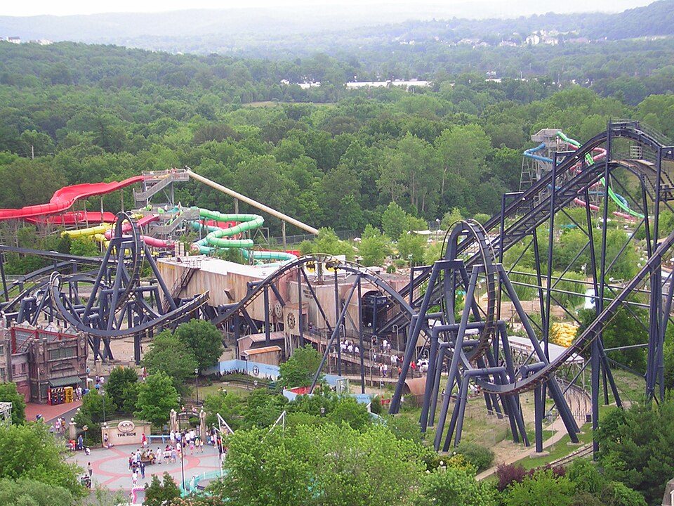 65 mi Theme parkMid America Adventure
 120 mi MountainTaum Sauk Mountain
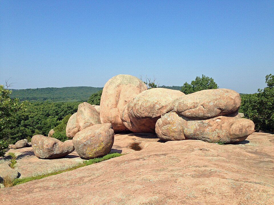 222 mi State parkElephant Rocks State Park
 315 mi State parkJohnson's Shut-Ins State Park
 60 mi LandmarkFort de Chartres42 mi CaveMeramec Caverns32 mi National RiverOzark National Scenic Riverways1.1M visitors a year
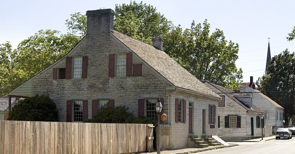 62 mi National Historical ParkSte. Genevieve National Historical Park17K visitors a year
Photo credits
Mid America Adventure: Chris Hagerman from New Port Richey, FL, US, CC BY 2.0 · Taum Sauk Mountain: Kbh3rd, CC BY-SA 3.0 · Elephant Rocks State Park: Fredlyfish4, CC BY-SA 3.0 · Johnson's Shut-Ins State Park: Kbh3rd, CC BY-SA 3.0 · Fort de Chartres: Kbh3rd, CC BY 3.0 · Ste. Genevieve National Historical Park: Andrew Balet, CC BY 3.0


What people ask about Mark Twain National Forest
What town is Mark Twain National Forest near?
Viburnum, MO, about 6 miles north.
When is the best time to visit Mark Twain National Forest?
April, May, June, September and October, with highs of 68–83°.
What is the closest airport to Mark Twain National Forest?
Waynesville-St. Robert Regional Airport-Forney Field (TBN), about 58 miles away. The nearest big hub is St. Louis Lambert (STL), about 86 miles.
Where should I stay near Mark Twain National Forest?
Steelville (27 mi, 14 places to stay), Salem (24 mi, 7 places to stay) and Caledonia (20 mi, 3 places to stay).
Questions for Viburnum
There are no tips yet, so start one in Viburnum’s Town Square.
Sources: National Park Service · ski areas © OpenSkiMap / OpenStreetMap contributors · Wikidata · Wikipedia readership · NOAA climate normals · U.S. Census.