
Johnson's Shut-Ins State Park
Johnson's Shut-Ins State Park is a public recreation area covering 9,432 acres (3,817 ha) on the East Fork Black River. This one stands 10 mi northeast of Centerville. Records date it to 1955.

A state park, 10 mi northeast of Centerville
Arcadia is the nearest base
Arcadia is 12 miles east, with 5 places to stay. Where to stay ↓
Best months: Apr, May, Sep and Oct
April, May, September and October are the mild months, with highs of 70–80°. When to go ↓
Established in 1955
Johnson's Shut-Ins State Park dates from 1955. About ↓
Written from NOAA 1991–2020 normals, Overture places to stay, Census town figures, Wikidata and Wikipedia.
Warm months and cold ones
Pick a month for Johnson's Shut-Ins from the weather below.
Johnson's Shut-Ins State Park
Johnson's Shut-Ins State Park is a public recreation area covering 9,432 acres (3,817 ha) on the East Fork Black River in Reynolds County, Missouri. The state park is jointly administered with adjoining Taum Sauk Mountain State Park, and together the two parks cover more than sixteen thousand acres in the St. Francois Mountains region of the Missouri Ozarks.
The term "shut-in" refers to a place where the river's breadth is limited by hard rock that is resistant to erosion. In these shut-ins, the river cascades over and around smooth-worn igneous rock, creating a natural water park that is used by park visitors when water levels are not dangerously high.
- Type
- State park
- Established
- 1955
- Wikipedia readers
- 6.9K a year
Towns to stay in near Johnson's Shut-Ins State Park
For a bed close by, look to Arcadia (5) and Pilot Knob (5).
Arcadia
The closest town with somewhere to stay.
605 people
12 mi east of Johnson's Shut-Ins
Compare 8 towns
| Town | From Johnson's Shut-Ins | Drive | Places to stay | People | Typical home | Safety |
|---|---|---|---|---|---|---|
| Arcadia | 12 mi east | 20 min | 5 1 hotel · 4 inns & B&Bs | 605 | $155K | — |
| Pilot Knob | 12 mi northeast | 20 min | 5 1 hotel · 2 lodges & cabins · 2 campgrounds | 701 | $108K | — |
| Annapolis | 15 mi southeast | 20 min | 3 1 inn or B&B · 2 lodges & cabins | 239 | $107K | — |
| Ironton | 12 mi east | 20 min | 2 1 hotel · 1 campground | 1,408 | $120K | — |
| Caledonia | 16 mi north | 25 min | 3 1 inn or B&B · 2 lodges & cabins | 134 | $55K | — |
| Centerville | 10 mi southwest | 15 min | 1 1 lodge or cabins | 165 | $63K | — |
| Farmington | 28 mi northeast | 40 min | 10 9 hotels · 1 hostel | 19,226 | $197K | D |
| Piedmont | 28 mi south | 40 min | 5 2 hotels · 1 motel · 1 lodge or cabins · 1 campground | 1,862 | $98K | C− |
Getting there
Nearest airports with airline service
Make a day of it near Johnson's Shut-Ins
These well-known places are within 68 miles.
 17 mi MountainTaum Sauk Mountain
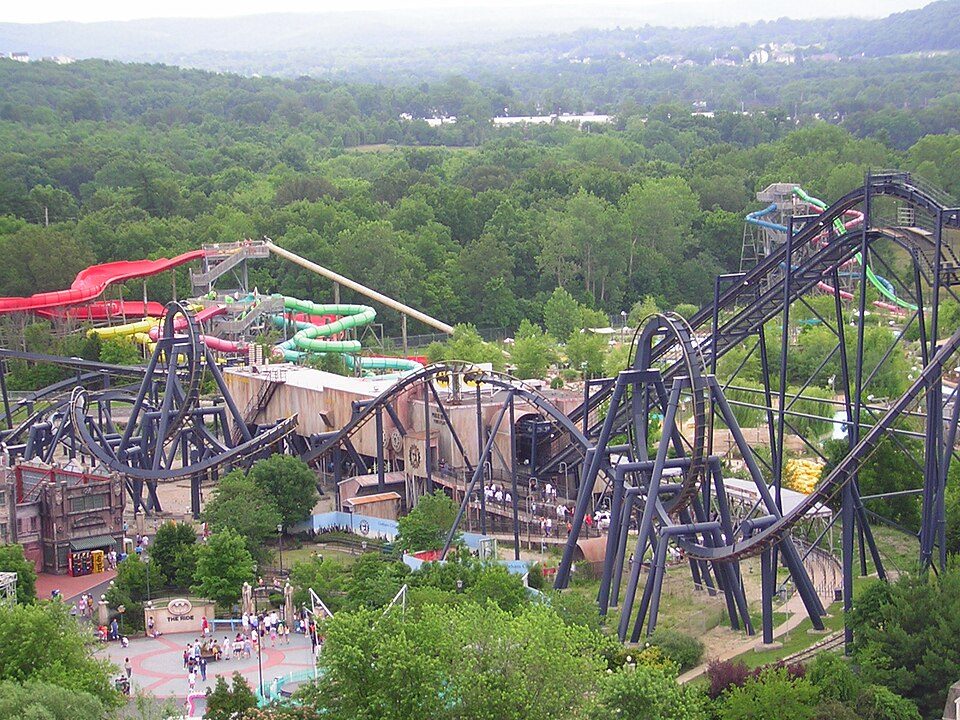 68 mi Theme parkMid America Adventure
 215 mi National forestMark Twain National Forest
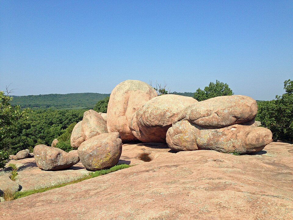 311 mi State parkElephant Rocks State Park
 53 mi LandmarkFort de Chartres50 mi CaveMeramec Caverns34 mi National RiverOzark National Scenic Riverways1.1M visitors a year
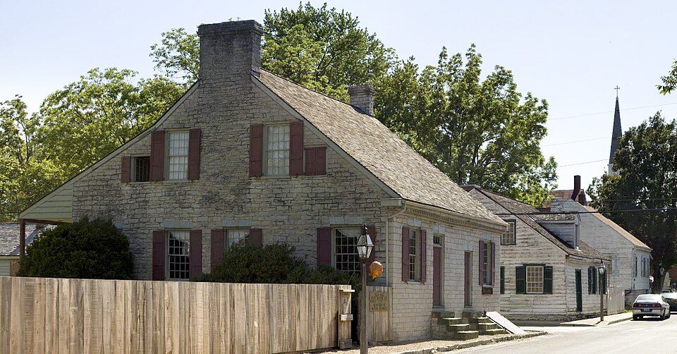 53 mi National Historical ParkSte. Genevieve National Historical Park17K visitors a year
Photo credits
Taum Sauk Mountain: Kbh3rd, CC BY-SA 3.0 · Mid America Adventure: Chris Hagerman from New Port Richey, FL, US, CC BY 2.0 · Mark Twain National Forest: Kbh3rd, CC BY-SA 3.0 · Elephant Rocks State Park: Fredlyfish4, CC BY-SA 3.0 · Fort de Chartres: Kbh3rd, CC BY 3.0 · Ste. Genevieve National Historical Park: Andrew Balet, CC BY 3.0


Know before you visit Johnson's Shut-Ins
What town is Johnson's Shut-Ins State Park near?
Centerville, MO, about 10 miles southwest.
When is the best time to visit Johnson's Shut-Ins State Park?
April, May, September and October, with highs of 70–80°.
What is the closest airport to Johnson's Shut-Ins State Park?
Waynesville-St. Robert Regional Airport-Forney Field (TBN), about 72 miles away. The nearest big hub is St. Louis Lambert (STL), about 87 miles.
Where should I stay near Johnson's Shut-Ins State Park?
Arcadia (12 mi, 5 places to stay), Pilot Knob (12 mi, 5 places to stay) and Annapolis (15 mi, 3 places to stay).
Local know-how from Centerville
Start the conversation in Centerville’s Town Square.
Sources: National Park Service · ski areas © OpenSkiMap / OpenStreetMap contributors · Wikidata · Wikipedia readership · NOAA climate normals · U.S. Census.