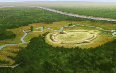
Watson Brake
Watson Brake is an archaeological site in present-day Ouachita Parish, Louisiana, from the Archaic period.

An ancient site, 7 mi southwest of Richwood
Summers are hot
July and August highs run 93–94°, and about 97 days a year reach 90°. When to go ↓
West Monroe is the nearest base
West Monroe is 10 miles north, with 22 places to stay. Where to stay ↓
Best months: Mar, Apr, Oct and Nov
March, April, October and November are the mild months, with highs of 68–79°. When to go ↓
An airport 12 miles away
Monroe Regional (MLU) has airline service, about 12 miles from Watson Brake.
Written from NOAA 1991–2020 normals, Overture places to stay, Census town figures, Wikidata and Wikipedia.
Weather, month by month
Typical highs and lows in Richwood. Green months are the mild ones.
Watson Brake
Watson Brake is an archaeological site in present-day Ouachita Parish, Louisiana, from the Archaic period. Dated to about 5400 years ago (approx. 3500 BCE), Watson Brake is considered the oldest earthwork mound complex in North America. It is older than the Ancient Egyptian pyramids or Britain’s Stonehenge. Its discovery and dating in a paper published in 1997 changed the ideas of American archaeologists about ancient cultures in the Southeastern United States and their ability to manage large, complex projects over centuries.
- Type
- Ancient site
- Elevation
- 72 ft
- Wikipedia readers
- 41K a year
Where to stay near Watson Brake
The closest towns with hotels, motels or campgrounds are Monroe (30) and West Monroe (22).
- 1Chennault Aviation and Military Museum
- 2Biedenharn Museum and Gardens
- 3Louisiana Purchase Gardens and Zoo
Compare 8 towns
| Town | From Watson Brake | Drive | Places to stay | People | Typical home | Safety |
|---|---|---|---|---|---|---|
| Monroe | 11 mi north | 15 min | 30 22 hotels · 5 motels · 2 inns & B&Bs · 1 lodge or cabins | 46,860 | $199K | D− |
| West Monroe | 10 mi north | 15 min | 22 16 hotels · 2 motels · 2 inns & B&Bs · 1 campground · 1 RV park | 12,478 | $192K | D− |
| Richwood | 7 mi northeast | 10 min | 2 1 hotel · 1 lodge or cabins | 3,834 | $53K | — |
| Bawcomville | 7 mi north | 10 min | 1 1 campground | 2,804 | $62K | — |
| Lakeshore | 13 mi northeast | 20 min | 2 1 hotel · 1 motel | 3,437 | $167K | — |
| Calhoun | 16 mi northwest | 25 min | 2 1 motel · 1 RV park | 420 | $275K | — |
| Claiborne | 12 mi north | 20 min | 1 1 hotel | 13,308 | $219K | — |
| Columbia | 19 mi south | 30 min | 2 1 hotel · 1 motel | 262 | $124K | — |
Getting there
Nearest airports with airline service
Also near Watson Brake
Other well-known places within 70 miles. Numbered ones are on the map above.
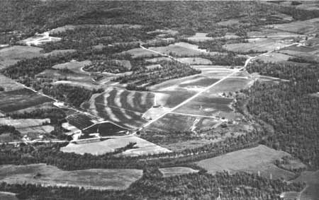 47 mi National MonumentPoverty Point National Monument
 44 mi MountainDriskill Mountain
 55 mi National forestKisatchie National Forest
 111 mi MuseumChennault Aviation and Military Museum
 210 mi GardenBiedenharn Museum and Gardens37 mi Zoo & aquariumLouisiana Purchase Gardens and Zoo
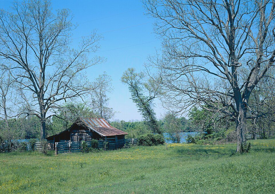 70 mi National Historical ParkCane River Creole National Historical Park11K visitors a year
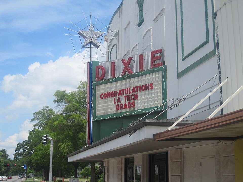 31 mi TheatreDixie Center for the Arts
Photo credits
Poverty Point National Monument: Unknown, Public domain · Driskill Mountain: Fredlyfish4, CC BY-SA 3.0 · Kisatchie National Forest: US Forest Service, Public domain · Chennault Aviation and Military Museum: Billy Hathorn, CC BY-SA 3.0 · Biedenharn Museum and Gardens: Billy Hathorn, CC BY-SA 3.0 · Cane River Creole National Historical Park: James W. Rosenthal, Public domain · Dixie Center for the Arts: Billy Hathorn, CC BY-SA 3.0


Visiting Watson Brake
What town is Watson Brake near?
Richwood, LA, about 7 miles northeast.
When is the best time to visit Watson Brake?
March, April, October and November, with highs of 68–79°.
What is the closest airport to Watson Brake?
Monroe Regional (MLU), about 12 miles away. The nearest big hub is Louis Armstrong New Orleans (MSY), about 198 miles.
Where should I stay near Watson Brake?
Monroe (11 mi, 30 places to stay), West Monroe (10 mi, 22 places to stay) and Rayville (24 mi, 3 places to stay).
Tips from people in Richwood
No tips yet. Ask, or answer, in Richwood’s Town Square.
Sources: National Park Service · ski areas © OpenSkiMap / OpenStreetMap contributors · Wikidata · Wikipedia readership · NOAA climate normals · U.S. Census.