
Judaculla Rock
Judaculla Rock is a curvilinear-shaped outcrop of soapstone known for its ancient carvings and petroglyphs. It lies 8 mi southeast of Sylva. A drive of 16 mi reaches Ghost Town in the Sky.

An ancient site, 8 mi southeast of Sylva
Sylva is the nearest base
Sylva is 8 miles northwest, with 7 places to stay. Where to stay ↓
Best months: Apr, May, Jun, Jul, Aug, Sep and Oct
April, May, June, July, August, September and October are the mild months, with highs of 68–84°. When to go ↓
Written from NOAA 1991–2020 normals, Overture places to stay, Census town figures, Wikidata and Wikipedia.
Weather, month by month
Here is how the weather at Judaculla Rock changes month by month.
Judaculla Rock
Judaculla Rock is a curvilinear-shaped outcrop of soapstone known for its ancient carvings and petroglyphs. The archaeological site is located on a 0.85-acre rectangular-shaped property, now owned by Jackson County. It is approximately 60 meters east of Caney Fork Creek, a major branch of the northwestward-trending Tuckasegee River in the mountains of Western North Carolina.
The petroglyph boulder occurs within a man-made bowl-shaped depression. Today the land is covered with mowed turf grass (previously, it was cultivated as a cornfield) and bordered on the west by a thicket of rivercane (Arundinaria gigantea). Slightly upslope and east of the boulder are a few smaller outcroppings of soapstone bedrock, at least two of which show definite scars left by ancient quarrying for soapstone bowl manufacture. The site is listed on the National Register of Historic Places.
- Type
- Ancient site
- Listed
- National Register of Historic Places (2013)
- Wikipedia readers
- 12K a year
Where to base yourself for Judaculla Rock
The closest lodging is in Maggie Valley (85) and Cherokee (59).
Maggie Valley
The closest town with somewhere to stay.
1,748 people · 44% vacation homes
16 mi north of Judaculla Rock
Compare 8 towns
| Town | From Judaculla Rock | Drive | Places to stay | People | Typical home | Safety |
|---|---|---|---|---|---|---|
| Maggie Valley 44% vacation homes | 16 mi north | 25 min | 85 20 hotels · 12 motels · 12 inns & B&Bs · 32 lodges & cabins · 4 campgrounds · 5 RV parks | 1,748 | $321K | — |
| Cherokee | 17 mi northwest | 25 min | 59 17 hotels · 13 motels · 2 inns & B&Bs · 12 lodges & cabins · 15 campgrounds | 2,059 | $190K | — |
| Waynesville | 14 mi northeast | 20 min | 28 10 hotels · 2 motels · 10 inns & B&Bs · 5 lodges & cabins · 1 campground | 11,006 | $282K | D |
| Bryson City | 21 mi northwest | 30 min | 61 12 hotels · 3 motels · 5 inns & B&Bs · 29 lodges & cabins · 11 campgrounds · 1 RV park | 1,525 | $243K | C− |
| Dillsboro | 9 mi northwest | 15 min | 12 4 hotels · 1 motel · 3 inns & B&Bs · 2 lodges & cabins · 2 RV parks | 217 | $270K | — |
| Highlands 65% vacation homes | 18 mi south | 25 min | 30 18 hotels · 3 inns & B&Bs · 7 lodges & cabins · 1 campground · 1 RV park | 1,127 | $701K | — |
| Whittier | 17 mi northwest | 25 min | 24 3 hotels · 3 motels · 8 lodges & cabins · 6 campgrounds · 4 RV parks | — | — | — |
| Franklin | 17 mi southwest | 25 min | 24 8 hotels · 3 motels · 4 inns & B&Bs · 3 lodges & cabins · 1 hostel · 3 campgrounds · 2 RV parks | 4,403 | $195K | C− |
Getting there
Nearest airports with airline service
Also near Judaculla Rock
These well-known sights sit within 65 miles.
 Big draw42 mi Theme parkDollywood3.1M visitors a year
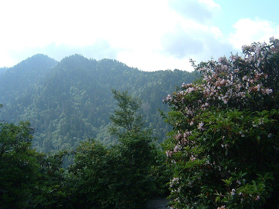 Big draw128 mi National ParkGreat Smoky Mountains National Park11.5M visitors a year
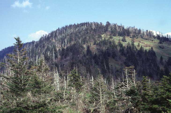 Big draw228 mi MountainKuwohi
 Big draw57 mi MountainMount Mitchell
 Big draw64 mi Stadium & arenaNeyland Stadium316 mi Theme parkGhost Town in the Sky
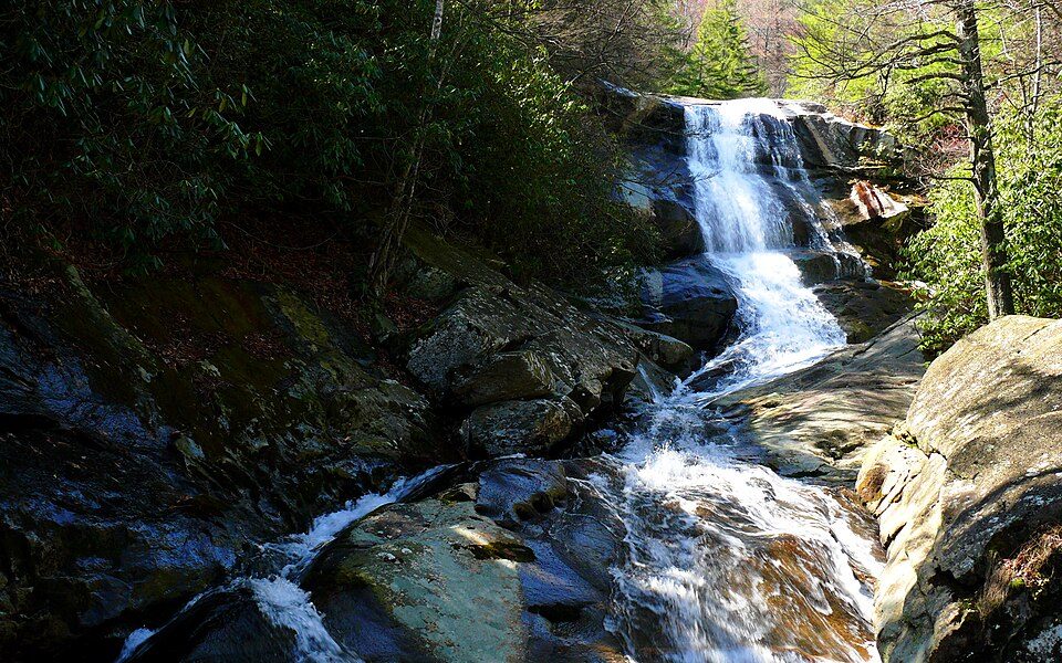 418 mi National forestPisgah National Forest
 46 mi Stadium & arenaMemorial Stadium, Clemson
Photo credits
Dollywood: Brian Stansberry (photographer), CC BY 2.5 · Great Smoky Mountains National Park: Scott Basford, CC BY-SA 3.0 · Kuwohi: C. Kenneth Dodd, Jr., Public domain · Mount Mitchell: Unknown, Public domain · Neyland Stadium: Neomrbungle, CC BY-SA 4.0 · Pisgah National Forest: Ken Thomas, Public domain · Memorial Stadium, Clemson: Caseyh at English Wikipedia, CC BY-SA 3.0


Visiting Judaculla Rock: the answers
What town is Judaculla Rock near?
Sylva, NC, about 8 miles northwest.
When is the best time to visit Judaculla Rock?
April, May, June, July, August, September and October, with highs of 68–84°.
What is the closest airport to Judaculla Rock?
Asheville Regional (AVL), about 33 miles away. The nearest big hub is McGhee Tyson (TYS), about 61 miles.
Where should I stay near Judaculla Rock?
Maggie Valley (16 mi, 85 places to stay), Cherokee (17 mi, 59 places to stay) and Waynesville (14 mi, 28 places to stay).
Tips for visiting, from Sylva
No one has shared advice yet; Sylva’s Town Square takes questions.
Sources: National Park Service · ski areas © OpenSkiMap / OpenStreetMap contributors · Wikidata · Wikipedia readership · NOAA climate normals · U.S. Census.