Hatley Pointe
Hatley Pointe (formerly Wolf Ridge Ski Resort) is a ski area in the eastern United States in western North Carolina.
A ski area, 9 mi north of Mars Hill
Burnsville is the nearest base
Burnsville is 12 miles east, with 6 places to stay. Where to stay ↓
Written from NOAA 1991–2020 normals, Overture places to stay, Census town figures and Wikipedia.
Weather, month by month
Typical highs and lows in Mars Hill.
Hatley Pointe
Hatley Pointe (formerly Wolf Ridge Ski Resort) is a ski area in the eastern United States in western North Carolina. Five miles (8 km) from Interstate 26, it is located off of Puncheon Road in Mars Hill, North Carolina. The resort opened in 1970. It is Madison County's largest employer during the winter months. It is owned Deborah and David Hatley since March 2023.
- Type
- Ski area
- Terrain
- 21 runs · 642 ft vertical · 4 lifts
- Wikipedia readers
- 3.3K a year
- Official site
- hatleypointe.com
Where to stay near Hatley Pointe
The closest towns with hotels, motels or campgrounds are Asheville (139) and Hot Springs (19).
Asheville
The closest town with somewhere to stay.
93,523 people
26 mi south of Hatley Pointe
Compare 8 towns
| Town | From Hatley Pointe | Drive | Places to stay | People | Typical home | Safety |
|---|---|---|---|---|---|---|
| Asheville | 26 mi south | 40 min | 139 89 hotels · 7 motels · 28 inns & B&Bs · 7 lodges & cabins · 3 hostels · 2 campgrounds · 3 RV parks | 93,523 | $440K | D− |
| Hot Springs | 18 mi west | 25 min | 19 5 inns & B&Bs · 9 lodges & cabins · 2 hostels · 3 campgrounds | 548 | $179K | — |
| Burnsville | 12 mi east | 20 min | 6 2 hotels · 1 motel · 2 inns & B&Bs · 1 lodge or cabins | 1,655 | $244K | — |
| Marshall | 14 mi southwest | 20 min | 6 2 hotels · 2 inns & B&Bs · 2 lodges & cabins | 802 | $282K | — |
| Weaverville | 18 mi south | 25 min | 10 4 hotels · 1 motel · 4 inns & B&Bs · 1 lodge or cabins | 4,790 | $464K | C |
| Johnson City | 28 mi north | 40 min | 34 27 hotels · 5 motels · 1 inn or B&B · 1 lodge or cabins | 74,943 | $268K | C− |
| Mars Hill | 9 mi south | 15 min | 3 2 hotels · 1 inn or B&B | 2,280 | $295K | — |
| Black Mountain | 25 mi southeast | 40 min | 20 5 hotels · 2 motels · 5 inns & B&Bs · 4 lodges & cabins · 4 campgrounds | 8,491 | $359K | B |
Getting there
Nearest airports with airline service
Also near Hatley Pointe
Other well-known places within 62 miles. Numbered ones are on the map above.
 Big draw58 mi Theme parkDollywood3.1M visitors a year
 Big draw119 mi MountainMount Mitchell
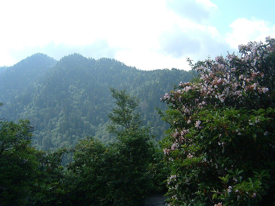 Big draw56 mi National ParkGreat Smoky Mountains National Park11.5M visitors a year
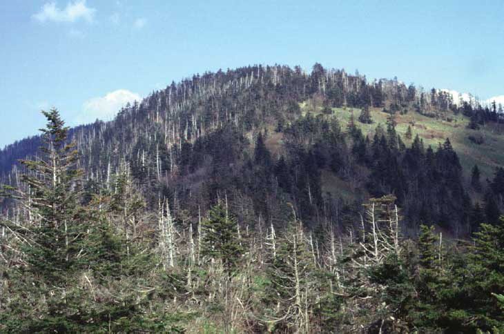 Big draw62 mi MountainKuwohi
 41 mi MountainGrandfather Mountain44 mi Theme parkGhost Town in the Sky
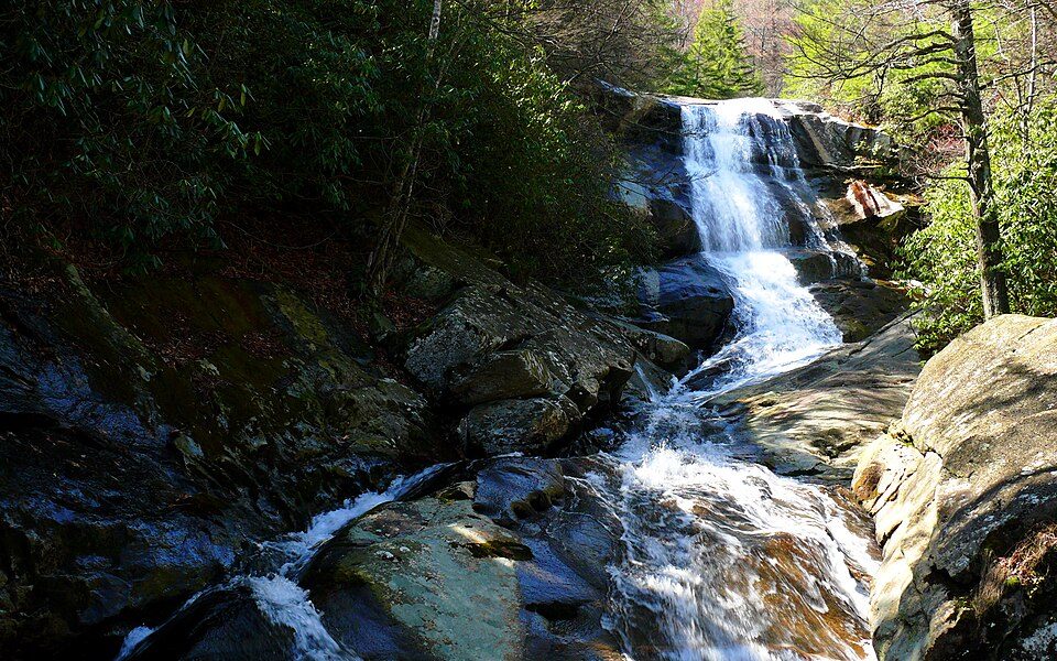 44 mi National forestPisgah National Forest
 56 mi MountainMount Le Conte
Photo credits
Dollywood: Brian Stansberry (photographer), CC BY 2.5 · Mount Mitchell: Unknown, Public domain · Great Smoky Mountains National Park: Scott Basford, CC BY-SA 3.0 · Kuwohi: C. Kenneth Dodd, Jr., Public domain · Grandfather Mountain: Original uploader was KyleAndMelissa22 at en.wikipedia, Public domain · Pisgah National Forest: Ken Thomas, Public domain · Mount Le Conte: No machine-readable author provided. Blinutne assumed (based on copyright claims, CC BY-SA 3.0


Visiting Hatley Pointe
What town is Hatley Pointe near?
Mars Hill, NC, about 9 miles south.
What is the closest airport to Hatley Pointe?
Asheville Regional (AVL), about 36 miles away. The nearest big hub is McGhee Tyson (TYS), about 84 miles.
Where should I stay near Hatley Pointe?
Asheville (26 mi, 139 places to stay), Hot Springs (18 mi, 19 places to stay) and Burnsville (12 mi, 6 places to stay).
Tips from people in Mars Hill
No tips yet. Ask, or answer, in Mars Hill’s Town Square.
Sources: National Park Service · ski areas © OpenSkiMap / OpenStreetMap contributors · Wikidata · Wikipedia readership · NOAA climate normals · U.S. Census.