
Grand Canyon Skywalk
The Grand Canyon Skywalk is a horseshoe-shaped cantilever bridge with a glass walkway at Eagle Point in Arizona near the Colorado River, on the edge of a side canyon in the Grand Canyon West area of the main canyon. Highs of 65–78°F make March, April, October and November the mildest time to go.

An attraction, 0 mi northwest of Grand Canyon West
Plan where you’ll sleep
The nearest town with many places to stay is Meadview, 16 miles west. Where to stay ↓
Summers are hot
July and August highs run 98–99°, and about 128 days a year reach 90°. When to go ↓
A day trip from Las Vegas
Las Vegas is about 83 miles west (straight-line). Where to stay ↓
Best months: Mar, Apr, Oct and Nov
March, April, October and November are the mild months, with highs of 65–78°. When to go ↓
Written from NOAA 1991–2020 normals, Overture places to stay, Census town figures, Wikidata and Wikipedia.
When to go
Pick a month for Grand Canyon Skywalk from the weather below.
Grand Canyon Skywalk
The Grand Canyon Skywalk is a horseshoe-shaped cantilever bridge with a glass walkway at Eagle Point in Arizona near the Colorado River, on the edge of a side canyon in the Grand Canyon West area of the main canyon. It opened as a tourist attraction in 2007, located outside the boundaries of the Grand Canyon National Park.
USGS topographic maps indicate the Skywalk's elevation as 4,770 ft (1,450 m) above sea level. The elevation of the Colorado River at the base of the canyon below is 1,160 ft (350 m). The vertical drop directly below the skywalk is 500 to 800 feet (150 to 240 m). The attraction is immediately north of Grand Canyon West Airport and about 75 miles (121 km) east of Las Vegas, Nevada, although nearly 130 miles (210 km) by car. The nearest city with a population greater than 10,000 people is Kingman, Arizona, about 50 miles (80 km) south.
- Type
- Attraction
- Owner
- Hualapai Tribe
- Opened
- 2007
- Wikipedia readers
- 24K a year
Overnight near Grand Canyon Skywalk
The first towns with rooms are Meadview (6).
Compare 3 towns
| Town | From Grand Canyon Skywalk | Drive | Places to stay | People | Typical home |
|---|---|---|---|---|---|
| Grand Canyon West | in town | — | 2 1 inn or B&B · 1 lodge or cabins | — | — |
| Meadview 31% vacation homes | 16 mi west | 25 min | 6 1 hotel · 2 motels · 1 campground · 2 RV parks | 1,517 | $74K |
| Truxton | 39 mi south | 1 hr | 1 1 RV park | 134 | $99K |
Day trip from
Straight-line miles.
Getting there
Nearest airports with airline service
Also near Grand Canyon Skywalk
You can reach each of these within 68 miles.
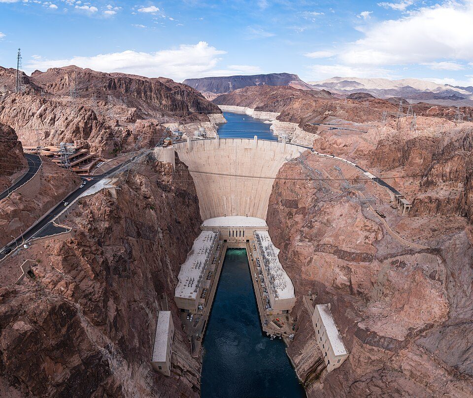 Big draw52 mi DamHoover Dam
 50 mi State parkValley of Fire State Park
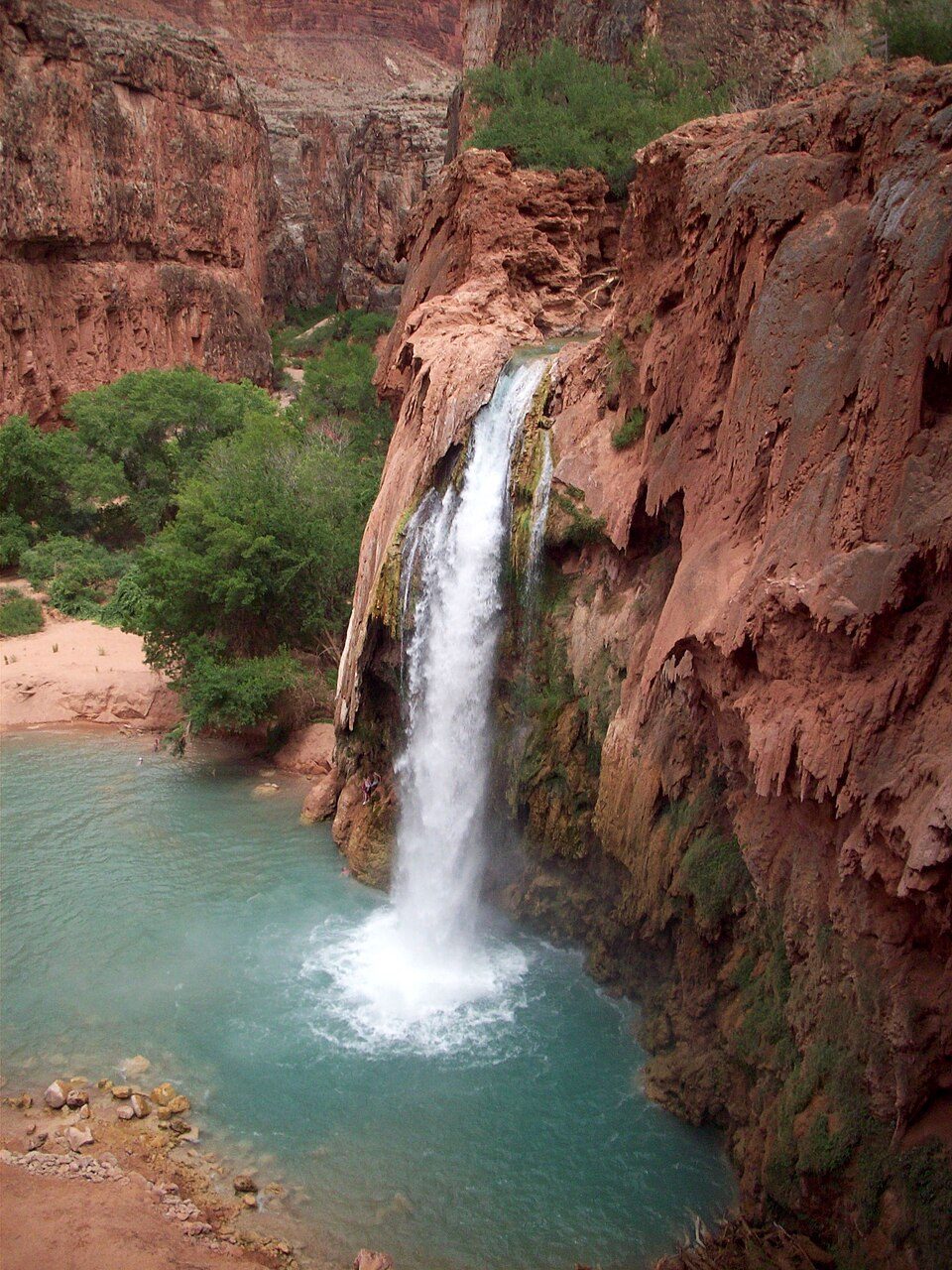 64 mi WaterfallHavasu Falls
 68 mi Stadium & arenaSam Boyd Stadium
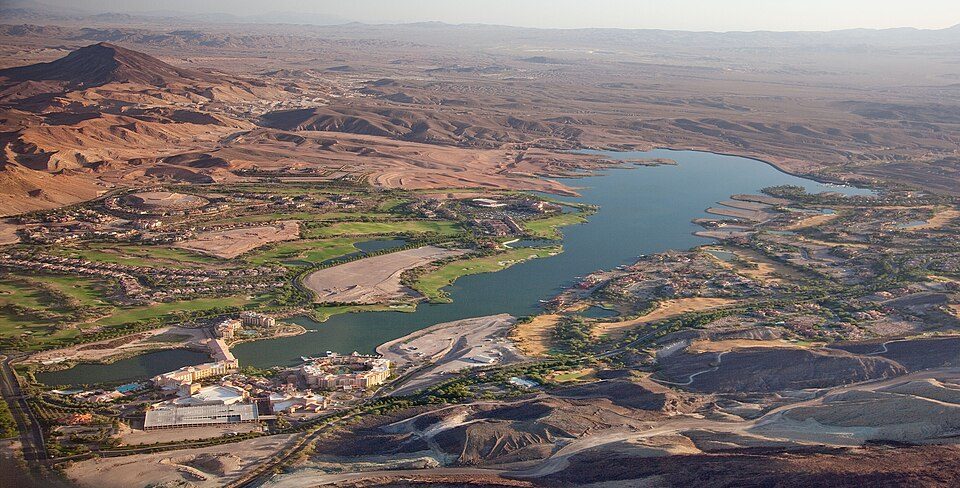 62 mi LakeLake Las Vegas
 55 mi National Recreation AreaLake Mead National Recreation Area6.1M visitors a year
 47 mi CaveGrand Canyon Caverns
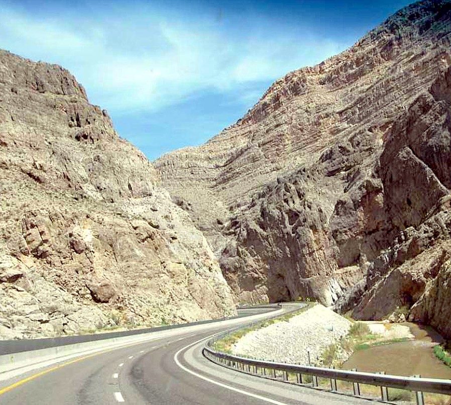 63 mi Canyon & gorgeVirgin River Gorge
Photo credits
Hoover Dam: Christian David, CC BY-SA 4.0 · Valley of Fire State Park: Clément Bardot, CC BY-SA 3.0 · Havasu Falls: Gonzo fan2007, CC BY-SA 3.0 · Sam Boyd Stadium: Quintin Soloviev, CC BY 4.0 · Lake Las Vegas: Carol M. Highsmith, Public domain · Lake Mead National Recreation Area: Andrew Cattoir, Public domain · Grand Canyon Caverns: Alexander Glazkov, CC BY-SA 2.5 · Virgin River Gorge: inkknife_2000 (7.5 million views +), CC BY-SA 2.0


Your questions on Grand Canyon Skywalk
What town is Grand Canyon Skywalk near?
Grand Canyon West, AZ, about 0 miles southeast.
When is the best time to visit Grand Canyon Skywalk?
March, April, October and November, with highs of 65–78°.
How far is Grand Canyon Skywalk from Henderson and Las Vegas?
About 68 miles west of Henderson and about 83 miles west of Las Vegas, as the crow flies.
What is the closest airport to Grand Canyon Skywalk?
Boulder City Municipal (BLD), about 59 miles away. The nearest big hub is Harry Reid (LAS), about 75 miles.
Where should I stay near Grand Canyon Skywalk?
Meadview (16 mi, 6 places to stay).
Tips for visiting, from Grand Canyon West
Ask a question, or answer one, in Grand Canyon West’s Town Square.
Sources: National Park Service · ski areas © OpenSkiMap / OpenStreetMap contributors · Wikidata · Wikipedia readership · NOAA climate normals · U.S. Census.