
Gilroy Gardens
Gilroy Gardens Family Theme Park, often shortened to Gilroy Gardens, is a horticulture-themed amusement park located in Gilroy, California, United States. It was established in 2001. The mildest months are March to November, with highs of 67–83°F.

A theme park inside Gilroy
Open late Marchearly January
Gilroy Gardens is a seasonal theme park: open late Marchearly January. Check its calendar for the days and hours. When to go ↓
You can stay in Gilroy
Gilroy Gardens is inside Gilroy, which has 21 places to stay, so you won’t need a base farther out. Where to stay ↓
A day trip from San Francisco
San Francisco is about 69 miles northwest (straight-line). Where to stay ↓
Best months: Mar, Apr, May, Jun, Jul, Aug, Sep, Oct and Nov
March, April, May, June, July, August, September, October and November are the mild months, with highs of 67–83°. When to go ↓
Established in 2001
Gilroy Gardens dates from 2001. About ↓
Written from NOAA 1991–2020 normals, Overture places to stay, Census town figures, Wikidata and Wikipedia.
Open late Marchearly January
Typical highs and lows in Gilroy. Gray months it’s closed. Green months are open and mild.
Gilroy Gardens
Gilroy Gardens Family Theme Park, often shortened to Gilroy Gardens, is a horticulture-themed amusement park located in Gilroy, California, United States. Designed and built by Michael Bonfante, the park originally opened as Bonfante Gardens in 2001. The 536-acre theme park (217 ha) is owned by the city of Gilroy and operated by Gilroy Gardens, Inc. a 501(c)(3) nonprofit organization; it features over 40 rides and attractions and is known for its Circus Trees, created by Axel Erlandson.
- Type
- Theme park
- Season
- late Marchearly January
- Area
- 536 acres
- Owner
- City of Gilroy, California
- Established
- 2001
- Wikipedia readers
- 12K a year
Bases for Gilroy Gardens
The nearest towns with places to stay are Gilroy (21) and San Jose (133).
Compare 8 towns
| Town | From Gilroy Gardens | Drive | Places to stay | People | Typical home | Safety |
|---|---|---|---|---|---|---|
| Gilroy | in town | — | 21 13 hotels · 6 motels · 2 RV parks | 60,764 | $1,027K | C− |
| San Jose | 23 mi northwest | 35 min | 133 95 hotels · 19 motels · 5 inns & B&Bs · 3 lodges & cabins · 7 campgrounds · 4 RV parks | 989,814 | $1,233K | D |
| Morgan Hill | 9 mi north | 15 min | 13 10 hotels · 2 motels · 1 RV park | 45,625 | $1,210K | C+ |
| Watsonville | 10 mi southwest | 15 min | 14 10 hotels · 3 motels · 1 RV park | 50,716 | $686K | C |
| Santa Cruz | 23 mi west | 35 min | 66 37 hotels · 9 motels · 15 inns & B&Bs · 2 lodges & cabins · 1 campground · 2 RV parks | 61,797 | $1,209K | D |
| Salinas | 22 mi south | 35 min | 36 18 hotels · 16 motels · 2 lodges & cabins | 159,134 | $654K | C− |
| Hollister | 16 mi southeast | 25 min | 12 6 hotels · 2 motels · 2 inns & B&Bs · 2 campgrounds | 45,695 | $718K | B− |
| San Martin | 6 mi north | 10 min | 2 1 hotel · 1 campground | 6,954 | $1,431K | — |
Day trip from
Straight-line miles.
Getting there
Nearest airports with airline service
Other places close by
All of these are within 68 miles.
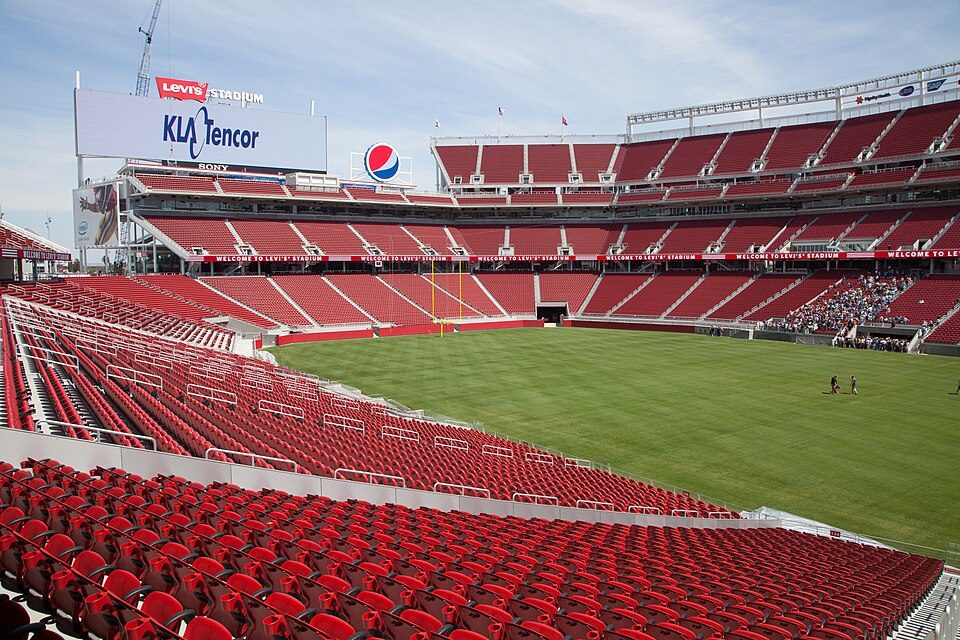 Big draw33 mi Stadium & arenaLevi's Stadium
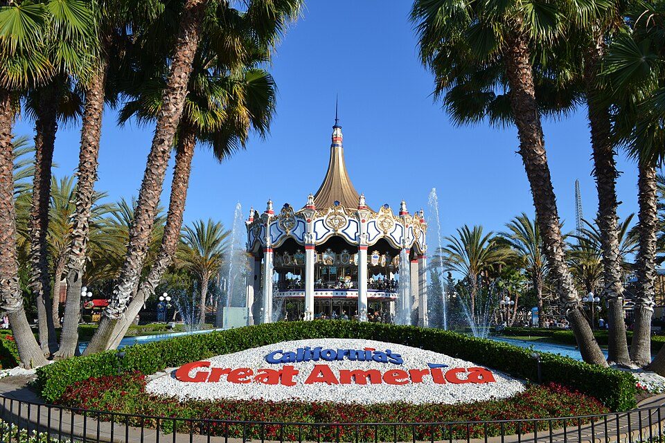 Big draw33 mi Theme parkCalifornia's Great America
 Big draw65 mi MuseumUSS Hornet
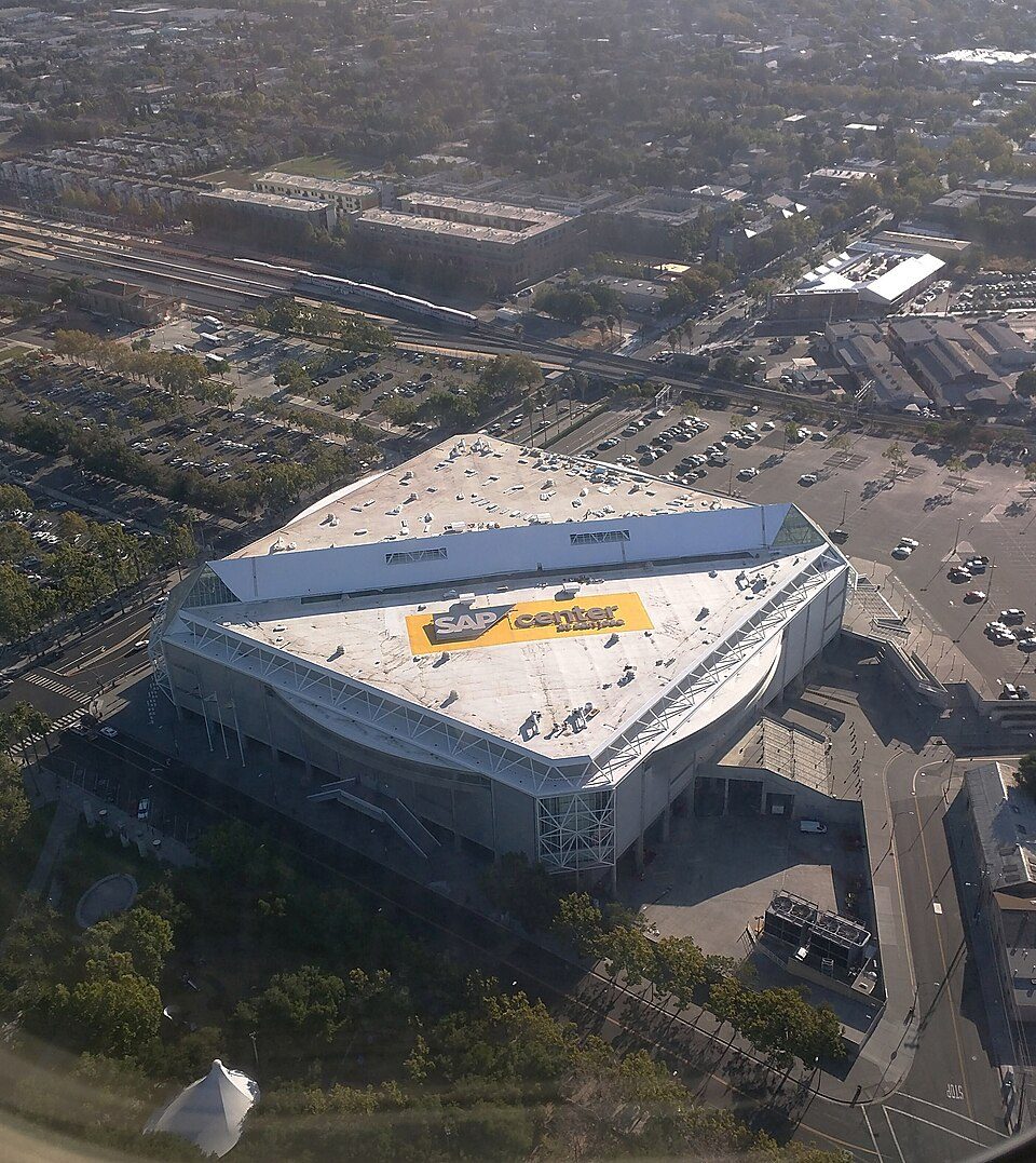 127 mi Stadium & arenaSAP Center
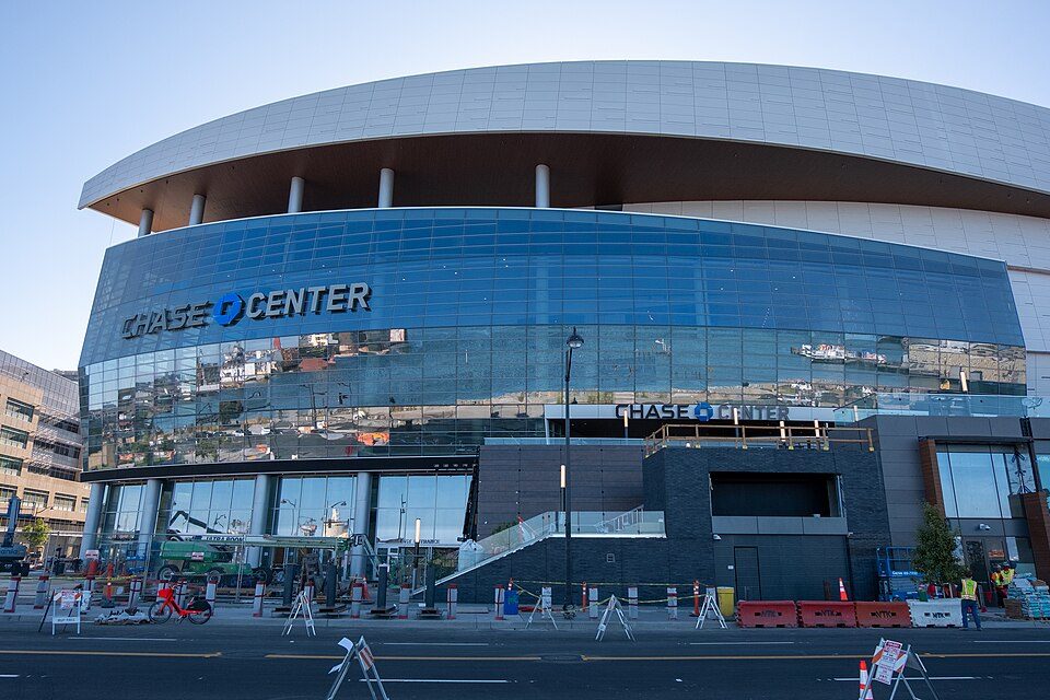 Big draw67 mi Stadium & arenaChase Center
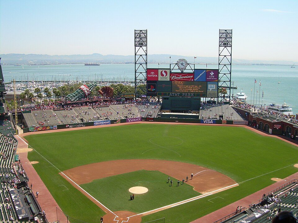 Big draw68 mi Stadium & arenaOracle Park
 31 mi Zoo & aquariumMonterey Bay Aquarium
 32 mi MuseumMonterey Museum of Art
Photo credits
Levi's Stadium: Matthew Roth, CC BY-SA 2.0 · California's Great America: Oleg Alexandrov, CC BY-SA 4.0 · USS Hornet: kitmasterbloke, CC BY 2.0 · SAP Center: Dicklyon, CC BY-SA 4.0 · Chase Center: Gregory Varnum, CC BY-SA 4.0 · Oracle Park: User Coasttocoast on en.wikipedia, CC BY-SA 3.0 · Monterey Bay Aquarium: Meij.kobayashi, Public domain · Monterey Museum of Art: Sgerbic, CC BY-SA 4.0


Know before you visit Gilroy Gardens
When is Gilroy Gardens open?
late Marchearly January. Check its calendar for the days and hours, which change through the season.
Is Gilroy Gardens in Gilroy?
Yes. It’s inside Gilroy, CA.
When is the best time to visit Gilroy Gardens?
February, March, April, May, June, July, August, September, October and November, with highs of 64–83°.
How far is Gilroy Gardens from Oakland and San Francisco?
About 62 miles northwest of Oakland and about 69 miles northwest of San Francisco, as the crow flies.
What is the closest airport to Gilroy Gardens?
Mineta San Jose (SJC), about 30 miles away.
How many roller coasters does Gilroy Gardens have?
2.
Where should I stay near Gilroy Gardens?
Gilroy (in town, 21 places to stay), San Jose (23 mi, 133 places to stay) and Morgan Hill (9 mi, 13 places to stay).
Inside knowledge from Gilroy
No one has shared advice yet; Gilroy’s Town Square takes questions.
Sources: National Park Service · ski areas © OpenSkiMap / OpenStreetMap contributors · Wikidata · Wikipedia readership · NOAA climate normals · U.S. Census.