
Mountain Falls, 2006
Pahrump’s story
135 years in pictures
Census counts: 7,424 in 1990, 44,738 in 2020. The archive holds 31 old photos and papers going back to 2006 and 2 maps from 1958 on.
- 1891Pahrump is settled
Each edition grades its towns against each other only.

Pahrump grades D− overall, in the bottom 2% of U.S. towns, mostly because of incomes and health. The median household income is $62K, and 14% of residents live below the poverty line. Residents are less healthy than 88% of U.S. towns on CDC estimates. Pahrump’s July high is 102°F, above both the Nevada town median (94°F) and the median of U.S. towns (85°F). The biggest park or preserve is Spring Mountains National Recreation Area, at 8,453 acres. Pahrump's civic life (library use, community groups, volunteering) trails 87% of U.S. towns.
Where Pahrump beats most towns.
36,441 counted in 2010 and 44,738 in 2020.
U.S. Census 2010 & 2020 counts
Each subject compared with towns across the country (schools within Nevada), ordered by how far Pahrump is from typical.
How TownRatings grades towns →
Census counts: 7,424 in 1990, 44,738 in 2020. The archive holds 31 old photos and papers going back to 2006 and 2 maps from 1958 on.
Pahrump is unincorporated, so Nye County and regional agencies provide most services.
EPA SDWIS (Oct 9, 2026) · HIFLD + EIA-861 2025 · Census 2020 ZCTAs · NCES 2024–25 · registration: vote.gov, updated Nov 18, 2024.
Ordered by what stands out in Pahrump.
Pahrump has hotter summers than nearly all U.S. towns and has added a third more jobs in ten years.
19% of adults report frequent physical distress in Pahrump. Pahrump beats the Nevada average on 5 of 32 CDC measures and trails it on 14. 43% of adults have high blood pressure in Pahrump.
| Pahrump | Nevada towns | U.S. towns | |
|---|---|---|---|
| Frequent physical distress (CDC PLACES) | 19% | 15% | 14% |
| High blood pressure (CDC PLACES) | 43% | 35% | 35% |
| Diabetes (CDC PLACES) | 16% | 12% | 12% |
| Binge drink (CDC PLACES) | 13% | 16% | 16% |
| What stands out | Pahrump | NV |
|---|---|---|
| Fewer adults facing housing insecurity | 12.6% | 15.6% |
| Fewer binge drinkers | 12.7% | 15.7% |
| More adults with heart disease | 10.6% | 6.4% |
CDC PLACES 2025 · modeled estimates for adults · CMS · HRSA
Its public schools are run by the Nye school district. Two of its 9 schools are below, each with why it’s listed.
| School | Level | Students | Letter |
|---|---|---|---|
| Rosemary Clarke Middle SchoolLargest public middle schoolGrades 6–8 | Grades 6–8 | 1,030 | C+ |
| Pahrump Valley High SchoolLargest public high schoolGrades 9–12 | Grades 9–12 | 1,333 | B− |
NCES · EDFacts · graded within NV on state tests and graduation
Jobs based here grew from 4,481 in 2013 to 6,169.
About one in 4 of Pahrump’s working residents works in town. The average trip to work in Pahrump is 30 minutes. Since 2013, Pahrump has added 1,688 jobs, to 6,169 in 2023.
| Pahrump | Nevada towns | U.S. towns | |
|---|---|---|---|
| Working residents who work in town | 28% | 16% | 8% |
| Average trip to work | 30 minutes | 24 minutes | 25 minutes |
| Median household income | $62,000 | $78,000 | $80,000 |
| Work from home | 12% | 9% | 11% |
Census LEHD 2023 · ACS
July afternoons average 101.7°, hotter than in 100% of U.S. towns; January nights average 31.8°.
Pahrump has mild winters and scorching summers, with very little rain. Pahrump’s January low is 32°F.
NOAA U.S. Climate Normals, 1991–2020
| Pahrump | Nevada towns | U.S. towns | |
|---|---|---|---|
| Miles of trail per square mile | 1.3 miles per square mile | 2.0 | 0.4 |
| Conserved land | 5.5% | 4.9% | 4.3% |
| Biggest places to walk | Trails | Acres |
|---|---|---|
| 1. Discovery Park | 1.9 mi | 60 |
| 2. Ian Deutch Memorial Park | 0.4 mi | 23 |
| 3. Nopah Range Wilderness | 0.3 mi | 20 |
Trails & parks © OpenStreetMap contributors · Conserved land: USGS PAD-US
Expected storm and flood damage is higher than in 65% of U.S. communities. Since 2006, 16 flood insurance claims have been paid out in Pahrump.
FEMA flood insurance claims · FEMA National Risk Index · OpenFEMA
The typical Pahrump home is worth about $365,000, about the same as a year ago, 17% below the Nevada typical home. 79% of Pahrump households own their home.
| Pahrump | Nevada towns | U.S. towns | |
|---|---|---|---|
| Households that own their home | 79% | 67% | 73% |
| Median rent | $1,304 a month | $1,419 a month | $1,185 a month |
Census ACS, 2020–24 · Zillow Home Value Index · Redfin Data Center
Museums, parks, gardens and other places to visit around Pahrump. Close and well known come first.
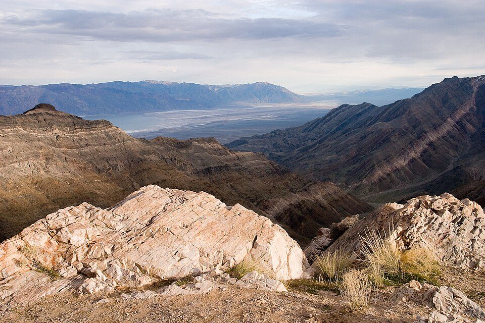 Big draw18 mi National ParkDeath Valley National Park1.3M visitors a year
 22 mi CaveDevils Hole
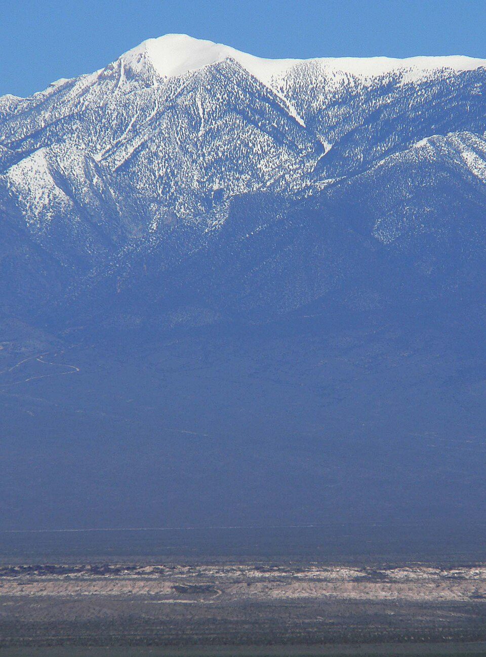 17 mi MountainCharleston Peak
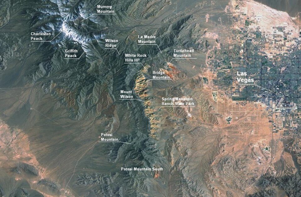 32 mi Park & preserveRed Rock Canyon National Conservation Area
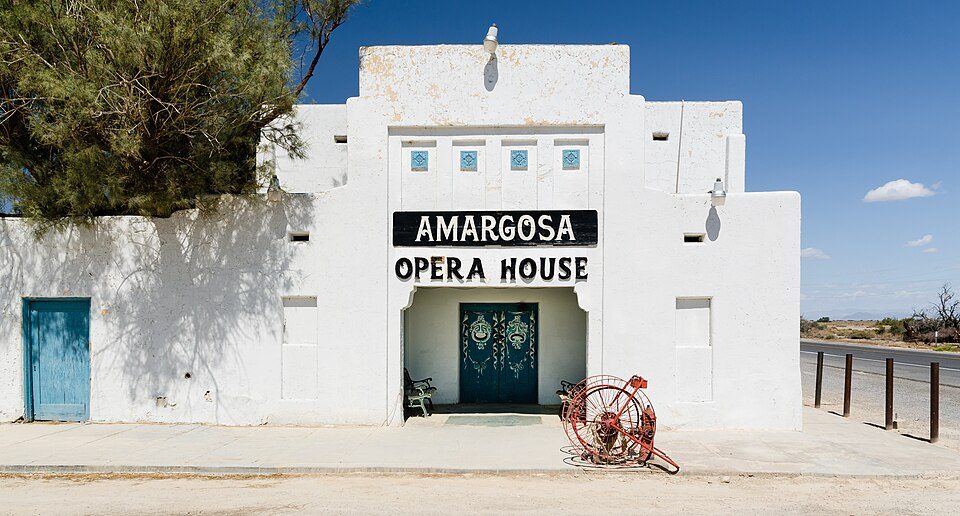 24 mi TheatreAmargosa Opera House and Hotel
 32 mi Theme parkBonnie Springs Ranch
Death Valley National Park: Greg Willis from Denver, CO, usa, CC BY-SA 2.0 · Devils Hole: Stan Shebs, CC BY-SA 3.0 · Charleston Peak: Stan Shebs, CC BY-SA 3.0 · Red Rock Canyon National Conservation Area: Asybaris01, Public domain · Amargosa Opera House and Hotel: Tuxyso, CC BY-SA 3.0 · Bonnie Springs Ranch: Stan Shebs, CC BY-SA 3.0
None within 15 miles of Pahrump; the nearest are
About 2 of every 100 Pahrump residents are enrolled in college, against 5 across Nevada.
Unincorporated town in Nevada, United States
Pahrump ( pə-RUMP) is an unincorporated town located at the southernmost tip of Nye County, Nevada, United States, about 50 miles (80 km) west of Las Vegas. Pahrump lies adjacent to the Nevada–California border and the area had a population of 44,738 as of the 2020 census.
From Wikipedia, licensed CC BY-SA 4.0 · facts via Wikidata (CC0)
Short answers, built from the data on this page.
Pahrump grades D− overall, in the bottom 2% of U.S. towns. It grades D for health and C− for schools. Jobs & income is its weak spot, with a D.
Yes. That is 6 years of the area's median household income ($60,714 across the Pahrump, NV area). Cost of living, which also weighs rents, property taxes and how many households pay 30% or more of their income for housing, grades C−.


