
Dana Adobe
The Dana Adobe & Cultural Center or "Casa de Dana" is a historic landmark in Nipomo, California.

A museum inside Nipomo
Oceano is the nearest base
Oceano is 7 miles northwest, with 7 places to stay. Where to stay ↓
Best months: Jan, Feb, Mar, Apr, May, Jun, Jul, Aug, Sep, Oct, Nov and Dec
January, February, March, April, May, June, July, August, September, October, November and December are the mild months, with highs of 64–78°. When to go ↓
An airport 10 miles away
Santa Maria Public Airport Captain G Allan Hancock Field (SMX) has airline service, about 10 miles from Dana Adobe.
Written from NOAA 1991–2020 normals, Overture places to stay, Census town figures, Wikidata and Wikipedia.
Weather, month by month
Typical highs and lows in Nipomo. Green months are the mild ones.
Dana Adobe
The Dana Adobe & Cultural Center or "Casa de Dana" is a historic landmark in Nipomo, California. It was the home of Boston sea captain William Goodwin Dana, who in 1837 was granted the 37,888-acre (153.33 km2) Rancho Nipomo in Southern California. Captain Dana hosted figures such as Henry Tefft and John C. Fremont in his Nipomo home, which also served as an important exchange point on California's first official mail route between Monterey and Los Angeles.
The building is listed on the National Register of Historic Places. The entire Rancho Nipomo is listed as a California Historical Landmark.
- Type
- Museum
- Listed
- National Register of Historic Places (1971)
- Wikipedia readers
- 1.1K a year
Where to stay near Dana Adobe
The closest towns with hotels, motels or campgrounds are Santa Maria (34) and Pismo Beach (40).
Compare 8 towns
| Town | From Dana Adobe | Drive | Places to stay | People | Typical home | Safety |
|---|---|---|---|---|---|---|
| Nipomo | in town | — | 1 1 inn or B&B | 17,516 | $724K | — |
| Santa Maria | 8 mi southeast | 10 min | 34 19 hotels · 13 motels · 1 inn or B&B · 1 lodge or cabins | 111,390 | $532K | D |
| Pismo Beach 26% vacation homes | 12 mi northwest | 20 min | 40 22 hotels · 7 motels · 5 inns & B&Bs · 1 lodge or cabins · 1 campground · 4 RV parks | 7,911 | $1,021K | C− |
| Arroyo Grande | 7 mi northwest | 10 min | 13 8 hotels · 2 motels · 2 inns & B&Bs · 1 campground | 18,123 | $814K | B− |
| San Luis Obispo | 18 mi northwest | 25 min | 49 32 hotels · 6 motels · 8 inns & B&Bs · 2 lodges & cabins · 1 hostel | 50,636 | $935K | C− |
| Oceano | 7 mi northwest | 10 min | 7 1 hotel · 1 motel · 1 lodge or cabins · 2 campgrounds · 2 RV parks | 7,128 | $556K | — |
| Grover Beach | 8 mi northwest | 10 min | 8 4 hotels · 2 motels · 1 campground · 1 RV park | 12,456 | $728K | B− |
| Avila Beach 22% vacation homes | 16 mi northwest | 25 min | 13 8 hotels · 2 inns & B&Bs · 2 campgrounds · 1 RV park | 1,303 | $1,243K | — |
Getting there
Nearest airports with airline service
Also near Dana Adobe
Other well-known places within 64 miles. Numbered ones are on the map above.
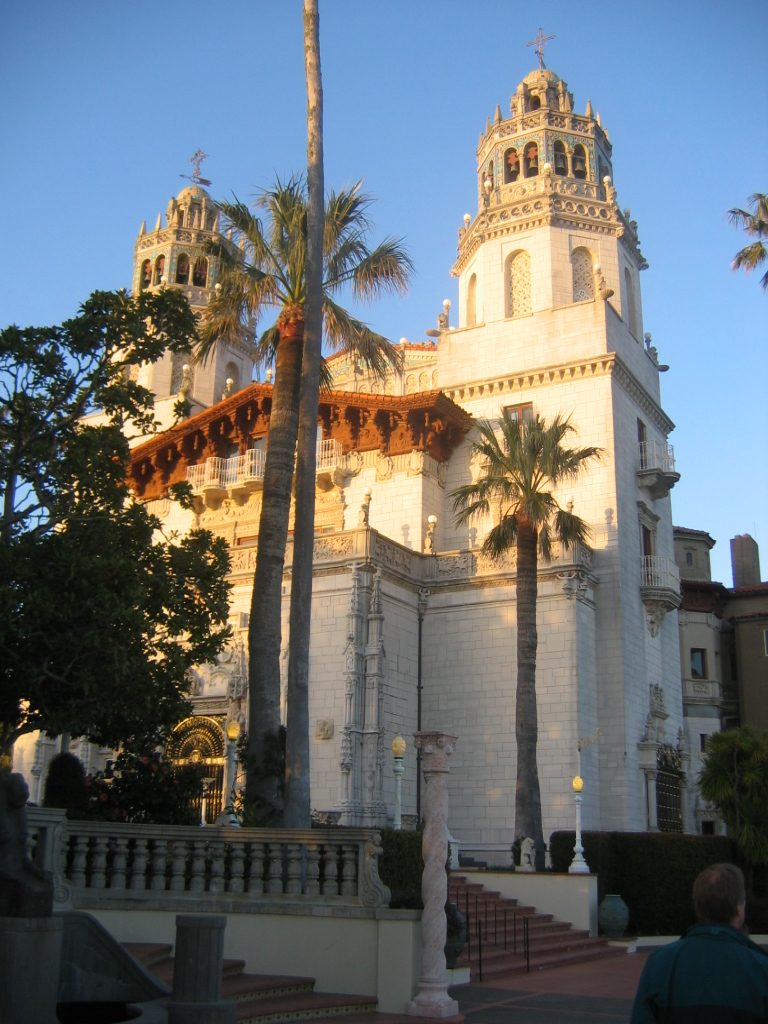 Big draw58 mi State parkHearst Castle
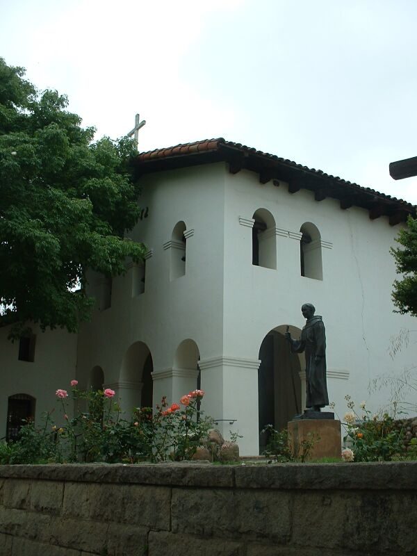 119 mi MuseumMission San Luis Obispo de Tolosa30 mi LandmarkLanding of the first Filipinos
 51 mi National forestLos Padres National Forest
 225 mi State parkMontaña de Oro State Park
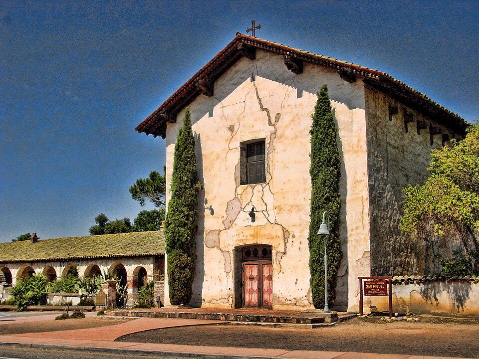 50 mi MuseumMission San Miguel Arcángel
 64 mi GardenLotusland
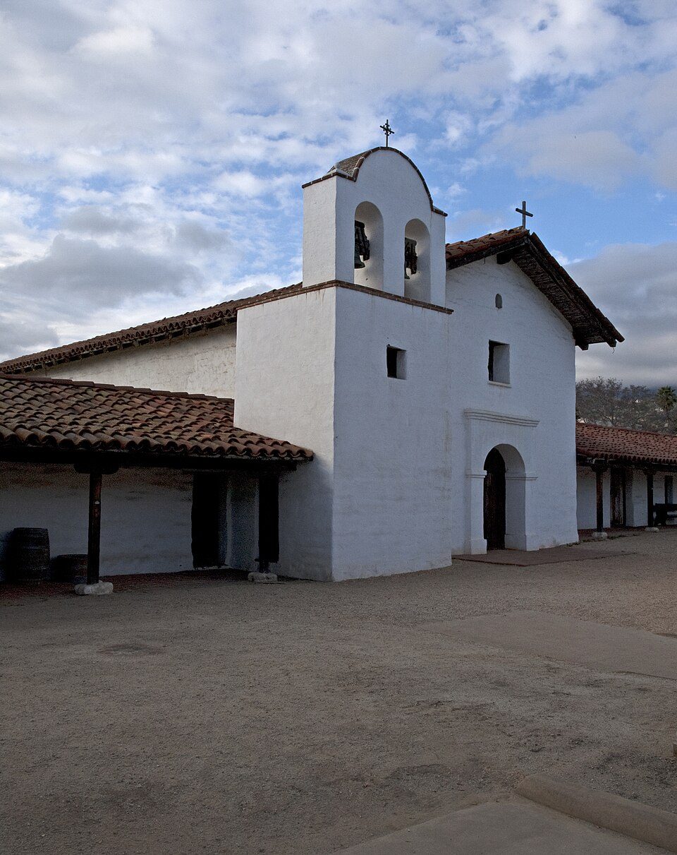 63 mi LandmarkPresidio of Santa Barbara
Photo credits
Hearst Castle: No machine-readable author provided. Urban~commonswiki assumed (based on copyrig, CC BY-SA 3.0 · Mission San Luis Obispo de Tolosa: Stephen Lea, CC BY-SA 3.0 · Los Padres National Forest: Taken by Antandrus, Public domain · Montaña de Oro State Park: BorisFromStockdale, CC BY-SA 3.0 · Mission San Miguel Arcángel: Jsweida, CC BY-SA 3.0 · Lotusland: brewbooks from near Seattle, USA, CC BY-SA 2.0 · Presidio of Santa Barbara: Ymblanter, CC BY-SA 3.0


Visiting Dana Adobe
Is Dana Adobe in Nipomo?
Yes. It’s inside Nipomo, CA.
When is the best time to visit Dana Adobe?
January, February, March, April, May, June, July, August, September, October, November and December, with highs of 64–78°.
How far is Dana Adobe from Bakersfield?
About 87 miles east of Bakersfield, as the crow flies.
What is the closest airport to Dana Adobe?
Santa Maria Public Airport Captain G Allan Hancock Field (SMX), about 10 miles away. The nearest big hub is Fresno Yosemite (FAT), about 129 miles.
Where should I stay near Dana Adobe?
Santa Maria (8 mi, 34 places to stay), Pismo Beach (12 mi, 40 places to stay) and Arroyo Grande (7 mi, 13 places to stay).
Tips from people in Nipomo
No tips yet. Ask, or answer, in Nipomo’s Town Square.
Sources: National Park Service · ski areas © OpenSkiMap / OpenStreetMap contributors · Wikidata · Wikipedia readership · NOAA climate normals · U.S. Census.