Decatur’s post office opened in 1821, and 14 of its places are on the National Register
More historic than 76% of U.S. towns · #25 of 187 in Alabama. What drives it
Most of Decatur was built recently: 4% of its homes predate 1940 and the median home dates from 1977. 14 places in town are on the National Register, among them four historic districts with 743 buildings between them. Below: 18 old photos and papers, maps from 1884 on, and the census since 1850.
The Decatur post office opened in 1821, the earliest record of the town by name. Nine smaller post offices, Morganburg (1878), Flint (1879) and Crowton (1886), opened inside today’s city and later closed.
First census: 606 in 18502020 census: 57,938205 years
How did Decatur get its name?
Decatur was named in honor of Stephen Decatur; after he was killed in a duel in 1820, President Monroe directed that the Alabama town be named for him.
How historic is Decatur?
A−
More historic than 76% of U.S. towns, on its age, its old homes and the National Register.
On its age, its old homes and the National Register, Decatur is more historic than 76% of U.S. towns, #25 of 187 in Alabama. Its National Register listings hold the grade up; its share of homes from before 1940 pulls it down.
A−
HistoryA character grade: shown, never part of Decatur’s overall grade.
Alabama towns list about as much on the Register as the country (a typical Alabama town has 2.7 per 10,000 residents, the U.S. 2.4), so Decatur’s 135 sits above most of its state (87% of Alabama towns have fewer) while its 777 historic buildings outnumber those of 98% of U.S. towns.
How sure. Graded on any two of the three inputs instead, the letter would range from B− to A. The pre-1940 share (±1.0 points) is firm at this size. The founding year is the first post office, not a stated founding date.
Founding year: the first post office (other dates in Quick answers). Homes: Census ACS 2020–24. National Register: National Park Service, May 2026 list; each listing counted once (boundary changes and added documentation belong to their listing), and a historic district counts its contributing buildings. How TownRatings grades history →
What stands out about Decatur’s past
Read from the archive, the National Register and the record. The page puts what stands out first.
Burleson FerrycrossingChestnut Grove ChurchchurchDecatur Municipal Landing FieldairportEast End SchoolschoolFemale Academy at DecaturschoolLafayette Street Public SchoolschoolMeans SchoolschoolMinor Hill SchoolschoolPaynes LandinglocalePecks LandinglocaleRiverside High SchoolschoolSaint Luke SchoolschoolSaint Pauls Episcopal ChurchchurchSlab College SchoolschoolWatson HospitalhospitalWillowby Presbyterian Churchchurch
20cemeteries and burying grounds inside Decatur
AdkinsBlackwellBurtChestnut GroveCrowDancy - GarthDecatur CityGrizzardMinorMinor HillMitchellMurphyNappsOakview Memorial GardensRatherRoselawn Memorial GardensStevenson - BurlesonStroupSykesWise
See all 20
Adkins Cemetery · Blackwell Cemetery · Burt Cemetery · Chestnut Grove Cemetery · Crow Cemetery · Dancy - Garth Cemetery · Decatur City Cemetery · Grizzard Cemetery · Minor Cemetery · Minor Hill Cemetery · Mitchell Cemetery · Murphy Cemetery · Napps Cemetery · Oakview Memorial Gardens · Rather Cemetery · Roselawn Memorial Gardens · Stevenson - Burleson Cemetery · Stroup Cemetery · Sykes Cemetery · Wise Cemetery
US Post Offices dataset (Blevins & Helbock, CC0). Places and cemeteries from the USGS Geographic Names Information System (2021).
Every building
Decatur, building by building, 1884–1927
Fire insurance maps drew every building, what it was made of and what it was used for, so insurers could price the risk of fire. Pick a year, then a sheet.
1884Sheet 1 of 1
Edition
Sheets
BrickWoodStone
Sanborn Map Company, via the Library of Congress. Editions published in 1930 or earlier, which are in the public domain.
Initially, the area was known as "Rhodes Ferry Landing", named for Dr. Henry W. Rhodes, an early landowner who operated a ferry that crossed the Tennessee River in the 1810s at the present-day location of Rhodes Ferry Park. The city was incorporated as Decatur in 1821. It was named in honor of Stephen Decatur; after he was killed in a duel in 1820, President Monroe directed that the Alabama town be named for him.
In the early 1830s, Decatur was the eastern terminus of the Tuscumbia, Courtland and Decatur Railroad, the first railway built west of the Appalachian Mountains. In 1850, the Tuscumbia, Courtland and Decatur was incorporated into the Memphis & Charleston Railroad.
Passages that mention Decatur, cut from the printed page as they were published.
Historical and statistical review and mailing and shipping guide of North Alabama (illustrated) embracing the cities of Birmingham, Anniston, Gadsden, Huntsville, Decatur, Tuscaloosa and Bessemer, with their manufacturing and mercantile industries ... and1888 · page 275Read the page →
Read the text
Mr. Walden farms on an extensive scale three miles and a half from Decatur, and controls and sells more farming lands than any firm in the real estate business in Decatur. His fatlier, it should be mentioned, was located in Decatur in 1818, and represented Morgan County for four years in the State Legis-
Text read by machine from the scan; it may contain errors.
Historical and statistical review and mailing and shipping guide of North Alabama (illustrated) embracing the cities of Birmingham, Anniston, Gadsden, Huntsville, Decatur, Tuscaloosa and Bessemer, with their manufacturing and mercantile industries ... and1888 · page 251Read the page →
Read the text
Decatur will then have direct water transportation to the Ohio and Mississippi Rivers, and all the markets these great arteries of commerce open. It is strictly within the bounds of truth to say that Decatur can then send its products by water, in unbroken bulk, to St. Paul on the North, New Orleans on the South, to Cincinnati on the East, and Kansas City on the West.
Text read by machine from the scan; it may contain errors.
Scans and text from the Internet Archive. Books published in 1930 or earlier, which are in the public domain.
Timeline
Decatur, 1821 to 1982
Woven from the archive, old maps, post office records, the National Register and the people born here.
Nothing in the archives for these yearsWeddings on Main Street, storms, parades, school pictures, the old store. If it’s in your family album, it belongs here.
Nothing in the archives for these yearsWeddings on Main Street, storms, parades, school pictures, the old store. If it’s in your family album, it belongs here.
The Decatur post office opened in 1821, the earliest record of the town by name (U.S. post office records).
How does Decatur rank for history?
Decatur is more historic than 76% of U.S. towns, #25 of 187 in Alabama. The History grade combines the town’s founding era, the share of homes built before 1940 and its National Register listings. It’s a character grade, so it isn’t part of the overall grade. How it works.
What is on the National Register in Decatur?
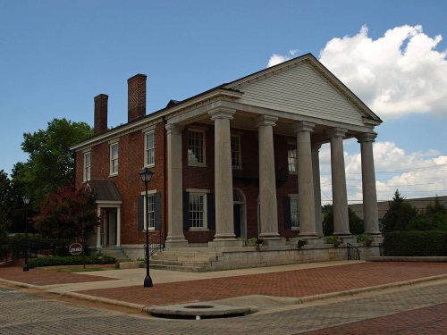
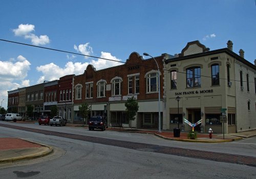
14 listings: 10 buildings, among them the State Bank Building, Decatur Branch (listed 1972, the first), and 4 historic districts with 743 contributing buildings. 777 historic buildings in all.
How old are the homes in Decatur?
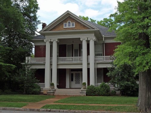
4% of Decatur’s homes were built before 1940 (Census estimate, ±1.0 points), against a typical 3.2% for an Alabama town; the median home was built in 1977.
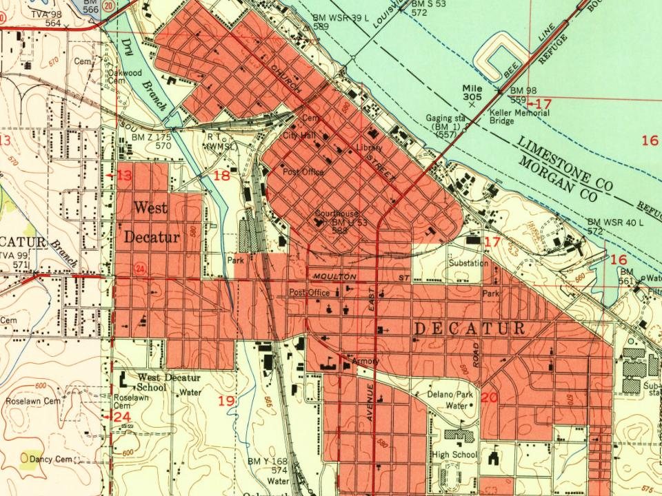
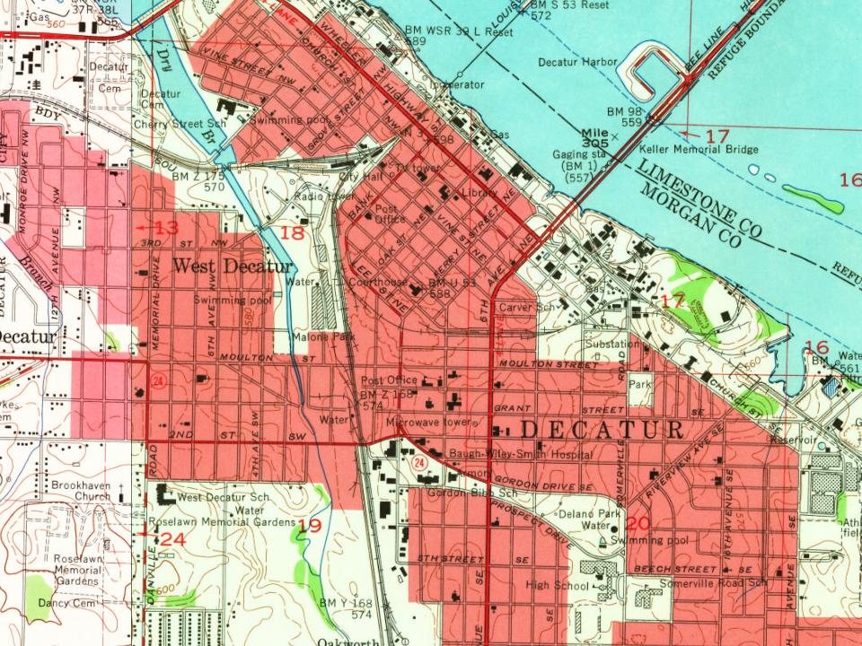
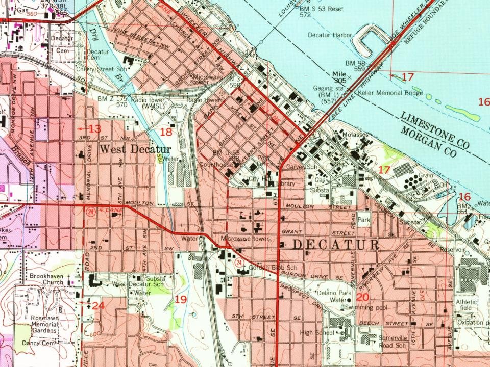
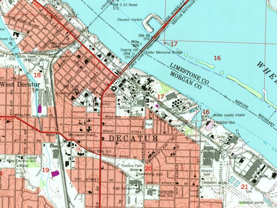
Founding dates: Wikidata, Wikipedia, the U.S. post office records of Blevins & Helbock (CC0) and the Census. Homes by year built: Census ACS 2020–24. National Register of Historic Places: National Park Service (list of May 22, 2026). Old photos, postcards and papers: Wikimedia Commons, the Library of Congress and other public archives, credited on each item’s page. Maps: U.S. Geological Survey historical topographic maps (via Esri) and Sanborn fire-insurance maps (Library of Congress). History text and census tables: Wikipedia (CC BY-SA 4.0). Places that used to be: USGS Geographic Names Information System (2021).
From Wikimedia Commons (5), the Library of Congress (13), the National Register of Historic Places (14), Wikipedia, Wikidata and Wikipedia for famous people, U.S. Geological Survey historical maps, U.S. Census counts (via Wikipedia), the US Post Offices dataset (Blevins & Helbock), the USGS Geographic Names Information System, Sanborn fire insurance maps (Library of Congress) and old county and town histories (Internet Archive). Archive images are copied here with their credits and licenses, shown on each photo’s page. Refreshed monthly.










 1880
 1880
 1937
 1942
 1942
 1942
 1942
 1942
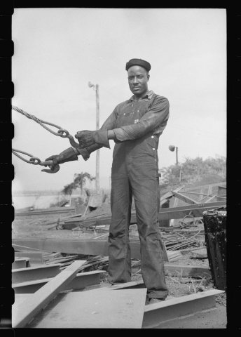 1942
 1942
 1942
 1942
 1942
 1942
 1942