Wrightstown in pictures
Census counts: 450 in 1880, 3,179 in 2020. The archive holds 6 old photos and papers going back to 1850 and 3 maps from 1954 on.
Explore the history →Each edition grades its towns against each other only.
A town of 1,240.
The best of Wrightstown’s subject grades are an A for incomes and schools; the weakest is a D for walkability. Wrightstown has fewer than 2,500 residents, so it gets subject grades but no overall grade.
Where Wrightstown beats most towns.
2,221 counted in 2010 and 2,578 in 2020; an estimated 1,240 in 2025.
U.S. Census 2010 & 2020 counts · Census Bureau estimate, July 1, 2025
Each subject compared with towns across the country (schools within Wisconsin), ordered by how far Wrightstown is from typical.
How TownRatings grades towns →
Census counts: 450 in 1880, 3,179 in 2020. The archive holds 6 old photos and papers going back to 1850 and 3 maps from 1954 on.
Explore the history →Who provides power, water and the rest in Wrightstown, and how to reach them.
EPA SDWIS (Oct 9, 2026) · HIFLD + EIA-861 2025 · Census 2020 ZCTAs · NCES 2024–25 · registration: vote.gov, updated Nov 18, 2024.
Ordered by what stands out in Wrightstown.
Most people who work leave Wrightstown to do it: just 2% work in town. Jobs based in Wrightstown grew to 527 in 2023, 233 more than in 2013. The town’s typical household income is $108,000, above both Wisconsin’s towns ($87,000) and U.S. towns ($80,000). Its mean commuting time comes in at 27 minutes.
| Wrightstown | Wisconsin towns | U.S. towns | |
|---|---|---|---|
| Median household income | $108,000 | $87,000 | $80,000 |
| Average trip to work | 27 minutes | 22 minutes | 25 minutes |
| Working residents who work in town | 2.3% | 8.3% | 8% |
| Below the poverty line | 5.4% | 6.4% | 9.6% |
Census LEHD 2023 · ACS
Among adults in Wrightstown, 9.4% have diabetes, where Wisconsin’s towns sit at 11% and U.S. towns at 12%. 29% of Wrightstown adults feel lonely.
| Wrightstown | Wisconsin towns | U.S. towns | |
|---|---|---|---|
| Binge drink (CDC PLACES) | 20% | 20% | 16% |
| Sleep under 7 hours (CDC PLACES) | 30% | 32% | 36% |
| Feel lonely (CDC PLACES) | 29% | 30% | 33% |
| High blood pressure (CDC PLACES) | 30% | 33% | 35% |
| What stands out | Wrightstown | WI |
|---|---|---|
| Fewer older adults who have lost all their teeth | 6.8% | 9.9% |
| Fewer adults facing food insecurity | 9.4% | 12.1% |
CDC PLACES 2025 · modeled estimates for adults · CMS · HRSA
July afternoons reach 80°, January nights drop to 10° and about 53 inches of snow falls in a winter.
NOAA U.S. Climate Normals, 1991–2020
The share of residents in Wrightstown who are under 18: 25%. The town has grown 3.9% since 2020, to 1,240 residents in the Census Bureau’s 2025 estimate. The median age here is 38.1 years. College graduates make up 28% of adults 25 and older, against 33% across Wisconsin.
| Wrightstown | Wisconsin towns | U.S. towns | |
|---|---|---|---|
| Aged 65 or older | 11% | 20% | 18% |
| Under 18 | 25% | 21% | 22% |
| Median age | 38.1 years | 42.1 years | 40.5 years |
| Bachelor’s degree or more, 25+ | 28% | 32% | 29% |
52% women, 48% men
That’s an even split within the survey’s margin of ±3.7 points. Across Wisconsin, 49.9% of residents are women.
| Wrightstown | WI | U.S. | |
|---|---|---|---|
| Under 10 | 14.1% | 11.2% | 11.6% |
| 10 to 17 | 11.2% | 10.2% | 10.3% |
| 18 to 24 | 7.8% | 9.3% | 9.1% |
| 25 to 34 | 12.4% | 12.6% | 13.7% |
| 35 to 44 | 11.5% | 12.7% | 13.2% |
| 45 to 54 | 17.4% | 11.8% | 12.2% |
| 55 to 64 | 14.7% | 13.8% | 12.7% |
| 65 to 74 | 9% | 11.2% | 10.2% |
| 75 and older | 1.8% | 7.3% | 7% |
| No diploma | 7.3% | 6.4% | 10.4% |
| High school | 35.5% | 29.4% | 26% |
| Some college | 14.1% | 19.5% | 19.1% |
| Associate’s | 15.4% | 11.3% | 8.8% |
| Bachelor’s | 19.8% | 22% | 21.6% |
| Graduate | 7.7% | 11.4% | 14.1% |
Census population estimates, 2025 · U.S. Census Bureau · ACS 2020-2024 5-year estimates · in a town of 1,200, single groups can be off by several points
Expected losses in Wrightstown break down as 61% from inland flooding and 20% from cold waves. On expected storm and flood damage, Wrightstown sits below 62% of U.S. communities.
FEMA National Risk Index · OpenFEMA
1.2 miles of trail. Wrightstown’s density of trails comes in at 0.1 miles per square mile.
| Wrightstown | Wisconsin towns | U.S. towns | |
|---|---|---|---|
| Miles of trail per square mile | 0.1 miles per square mile | 0.4 | 0.4 |
| Conserved land | 0.4% | 3.8% | 4.3% |
Trails & parks © OpenStreetMap contributors · Conserved land: USGS PAD-US
Museums, parks, gardens and other places to visit around Wrightstown. Close and well known come first.
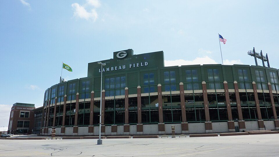
Big draw13 mi Stadium & arenaLambeau Field
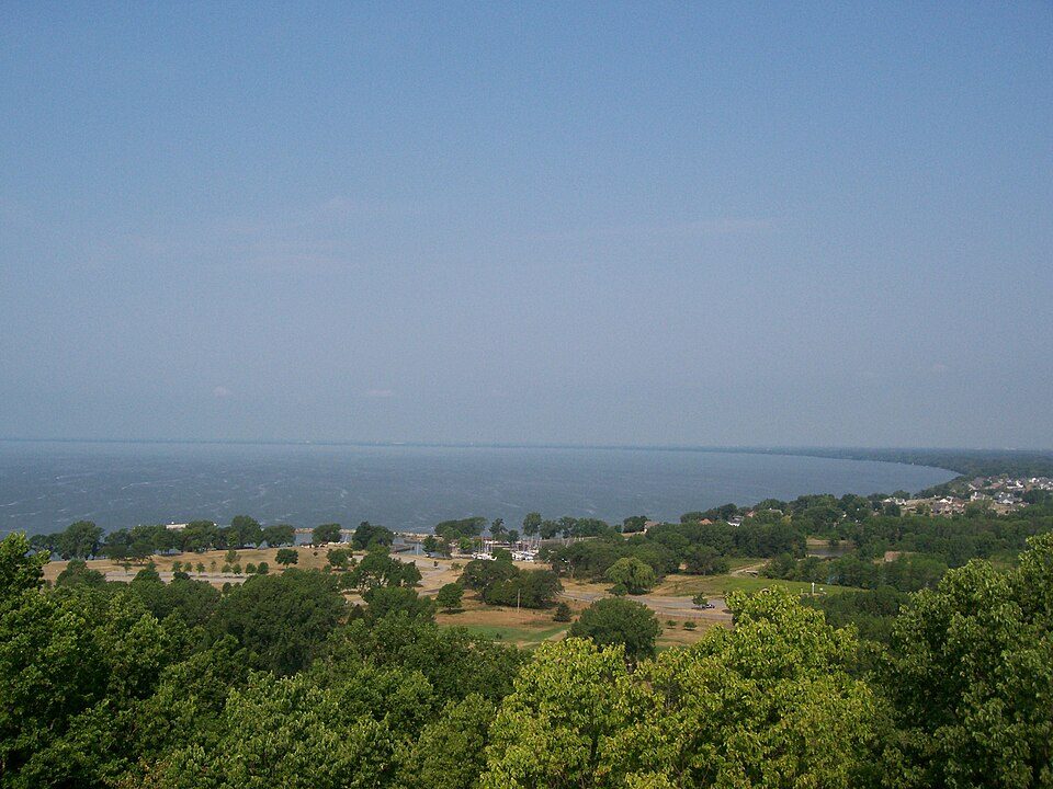
27 mi LakeLake Winnebago
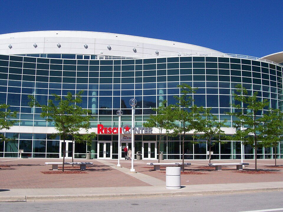
13 mi Stadium & arenaResch Center
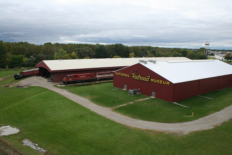
12 mi MuseumNational Railroad Museum
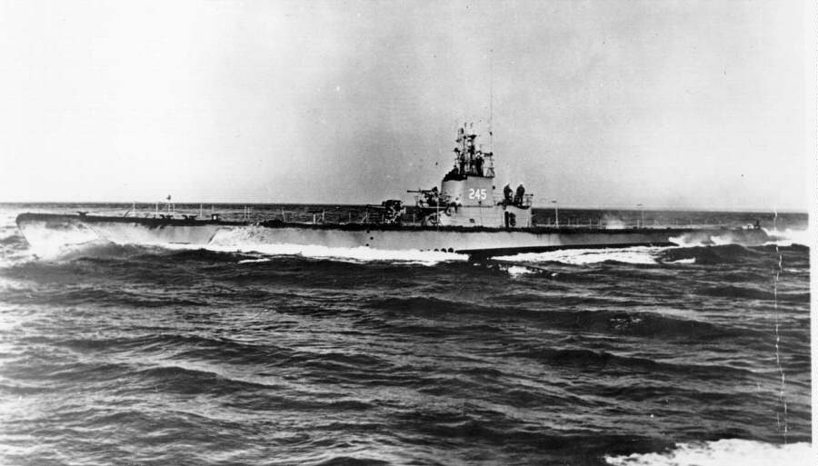
25 mi MuseumUSS Cobia
16 mi Theme parkBay Beach Amusement ParkLambeau Field: JL1Row, CC BY-SA 3.0 · Lake Winnebago: self, CC BY-SA 2.5 · Resch Center: User Royalbroil on en.wikipedia, CC BY-SA 2.5 · National Railroad Museum: Dual Freq, CC BY 3.0 · USS Cobia: Unknown authorUnknown author, Public domain · Bay Beach Amusement Park: Royalbroil, CC BY-SA 3.0
4 within 15 miles of the center of Wrightstown
About 4 of every 100 Wrightstown residents are enrolled in college, against 6 across Wisconsin.
In a town this size, neighbors are the best guide. Ask them anything.
Village in Wisconsin, United States
Wrightstown is a village located on former Menominee territory in Brown and Outagamie counties in the U.S. state of Wisconsin. The population was 3,179 at the 2020 census. The village is surrounded mostly by the westernmost part of the Town of Wrightstown in Brown County. On February 28, 2002, the village annexed a portion of land within the adjacent Town of Kaukauna in Outagamie County. Wrightstown is part of the Green Bay Metropolitan Statistical Area.
From Wikipedia, licensed CC BY-SA 4.0 · facts via Wikidata (CC0)
Short answers, built from the data on this page.
Cost of living, which also weighs rents, property taxes and how many households pay 30% or more of their income for housing, grades B.