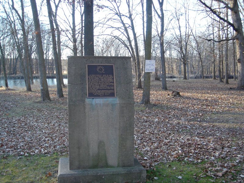
When William S. Hamilton, the son of Alexander Hamilton, migrated from Illinois to Wisconsin in the late 1820s, he established a lead ore mine that became known as Hamilton's Diggings. He later renamed the settlement Wiota. Hamilton, along with Elias Shook and William Haws, settled the area in 1828 and quickly struck quality deposits of lead ore. During the 1832 Black Hawk War, a fort was erected at Hamilton's Diggings, which was known as Fort Hamilton. Wiota was first platted in 1836 by Hamilton, and though a few buildings were built, the settlement was eventually moved from the Hamilton's Diggings site to its present site, which was platted on July 1, 1858.
Passages that mention Wiota, cut from the printed page as they were published.
History of Lafayette county, Wisconsin, containing an account of its settlement, growth, development and resources1881 · page 547Read the page →
Read the text
on the north being the south part of Township 3, and the remainder being the north part of Township 2, Previous to that time, a large portion of the above territory was connected with the precinct of Willow Springs for the purposes of voting. In 1850, two tiers of sections were set off from the east end of the town, and added to the town of Wiota, and, in 1869, when the town of Seymour was formed, the east half of Township 2, Range 3, was assigned to that territory. This town was then left, as it now appears, nearly square, and including in all nearly fortyeight sections. The town was first called Center, which name it received on account of its occupying the geographical center of the county, and which it retained until it was changed to Darlington.
Text read by machine from the scan; it may contain errors.
History of Lafayette county, Wisconsin, containing an account of its settlement, growth, development and resources1881 · page 644Read the page →
Read the text
The town of Argyle is located in the northeastern part of the county. It is bounded on the north by the town of Blanchard, on the east by Green County, on the south by the town of Wiota, on the west by the towns of Fayette and Wiota. It comprises Township 3 north, Range 5 east, of the Fourth Principal Meridian. It consisted of fifty-four sections until April, 1869, when, by order of the County Board, eighteen sections off the northern part were organized into a separate town, and named Blanchard.
Text read by machine from the scan; it may contain errors.
Scans and text from the Internet Archive. Books published in 1930 or earlier, which are in the public domain.
By decade
No old photos in the archives yet
Weddings on Main Street, storms, parades, school pictures, the old store. If it’s in your family album, it belongs here.
Be the first to add onePhotograph a print flat, in daylight, no flash.
Founding dates: Wikidata, Wikipedia, the U.S. post office records of Blevins & Helbock (CC0) and the Census. Homes by year built: Census ACS 2020–24. National Register of Historic Places: National Park Service (list of May 22, 2026). Old photos, postcards and papers: Wikimedia Commons, the Library of Congress and other public archives, credited on each item’s page. Maps: U.S. Geological Survey historical topographic maps (via Esri) and Sanborn fire-insurance maps (Library of Congress). History text and census tables: Wikipedia (CC BY-SA 4.0). Places that used to be: USGS Geographic Names Information System (2021). How TownRatings grades history →
From the National Register of Historic Places (2), Wikipedia, Wikidata and Wikipedia for famous people, the US Post Offices dataset (Blevins & Helbock), the USGS Geographic Names Information System and old county and town histories (Internet Archive). Archive images are copied here with their credits and licenses, shown on each photo’s page. Refreshed monthly.