On its age, its old homes and the National Register, Utica is more historic than 48% of U.S. towns. Its share of homes from before 1940 holds the grade up; its National Register listings pull it down.
B−
HistoryA character grade: shown, never part of Utica’s overall grade.
Wisconsin towns list more on the Register than most of the country (a typical Wisconsin town has 3.0 per 10,000 residents, the U.S. 2.4), so Utica’s 0.0 sits below most of its state (28% of Wisconsin towns have fewer) while its 0 listings outnumber those of 23% of U.S. towns.
How sure. Graded on two of the three inputs, so a change in either one moves the letter more than it would with three. The pre-1940 share is a Census survey estimate (±4.0 points).
Founding year: our sources. Homes: Census ACS 2020–24. National Register: National Park Service, May 2026 list; each listing counted once (boundary changes and added documentation belong to their listing), and a historic district counts its contributing buildings. How TownRatings grades history →
What stands out about Utica’s past
Read from the archive, the National Register and the record. The page puts what stands out first.
The town's first European settlement was in 1846, the area then being part of the Town of Rushford, Wisconsin. Among the first known settlers were people named Leth, Harris, Armine Pickett, D. H. Nash, Lucius Hawley, E. B. Fish, J. M. Little and Hiram McKee. McKee, a Wesleyan Methodist was the first clergyman in town and held the first religious meeting. The first settlement was made on Liberty Prairie, in the central part of this township. (Liberty Prairie took its name from the attachment of many of the early settlers to the principles of the newly organized Liberty Party. On the Fourth of July 1846, the first season of the new settlement was celebrated by these pioneers in a grove, "with the doctrines of '76 declared as their political creed, an oration delivered by Rev. H. McKee, and the prairie christened with the imposing name of 'Liberty.'") Nearly the whole township was claim…
Passages that mention Utica, cut from the printed page as they were published.
History of Winnebago County, Wisconsin, and early history of the Northwest1880Read the page →
Read the text
County, in June, 1858, where he subsequenth' settled on a farm in the Town of Grand Chute, from which place he moved on his present farm in the Town of Utica, in this county, in 1855. This is the fourth farm in the West that Mr. Lawrence has opened up and erected buildings on, having been engaged for thirt)' years in making improvements on new places.
Text read by machine from the scan; it may contain errors.
History of Winnebago County, Wisconsin, and early history of the Northwest1880 · page 256Read the page →
Read the text
The Town of Utica was set off from Rushford, and organized as a separate town in pursuance of an act of the Territorial Legislature, approved March 11, 1848.
Text read by machine from the scan; it may contain errors.
Scans and text from the Internet Archive. Books published in 1930 or earlier, which are in the public domain.
Timeline
Utica, 1850 to 1956
Woven from the archive, old maps, post office records, the National Register and the people born here.
Utica is more historic than 48% of U.S. towns. The History grade combines the town’s founding era, the share of homes built before 1940 and its National Register listings. It’s a character grade, so it isn’t part of the overall grade. How it works.
How old are the homes in Utica?
21% of Utica’s homes were built before 1940 (Census estimate, ±4.0 points), against a typical 12% for a Wisconsin town; the median home was built in 1987.
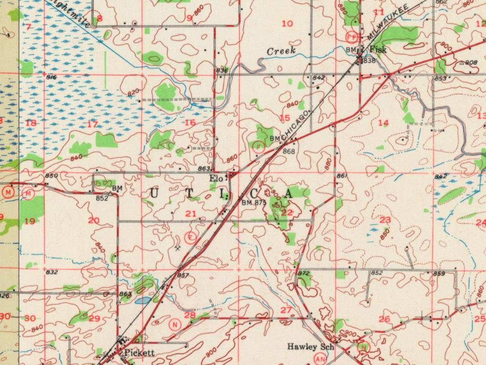
Founding dates: Wikidata, Wikipedia, the U.S. post office records of Blevins & Helbock (CC0) and the Census. Homes by year built: Census ACS 2020–24. National Register of Historic Places: National Park Service (list of May 22, 2026). Old photos, postcards and papers: Wikimedia Commons, the Library of Congress and other public archives, credited on each item’s page. Maps: U.S. Geological Survey historical topographic maps (via Esri) and Sanborn fire-insurance maps (Library of Congress). History text and census tables: Wikipedia (CC BY-SA 4.0). Places that used to be: USGS Geographic Names Information System (2021).
From Wikipedia, U.S. Geological Survey historical maps, the US Post Offices dataset (Blevins & Helbock), the USGS Geographic Names Information System and old county and town histories (Internet Archive). Archive images are copied here with their credits and licenses, shown on each photo’s page. Refreshed monthly.