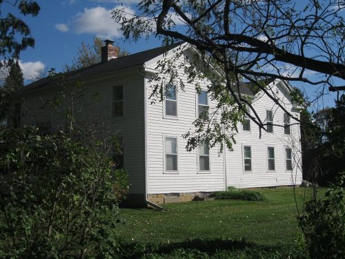
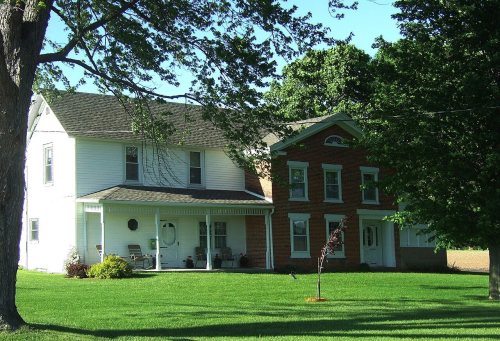
National Park Service, National Register of Historic Places. Photos from Wikimedia Commons, credited on each place’s page.
The story so far
Porter, in brief
Wikipedia doesn’t have a history of Porter yet. The photos, dates and memories neighbors add here are how it gets written.
The Town of Porter is a located in Rock County, Wisconsin, United States. The population was 969 at the 2020 census. The unincorporated communities of Cooksville and Stebbinsville are located in the town.
Between the 2010 and 2020 censuses its population grew from 945 to 969 (+3%).
Intro from Wikipedia. Population: U.S. Census Bureau.
From the old history books
What they wrote about Porter in 1908
Passages that mention Porter, cut from the printed page as they were published.
A few miles southeast of Van Buren, and in the west half of the east half of the northwest quarter of section 15 of the town of Porter, the town of Saratoga was laid out by Calvin Harmon, William PajTie and Thomas A. Holmes, on January 6, 1837. This land is part of the farm now owned by Charles White. There were thirty-six blocks platted in Saratoga. Block 23 was laid out around a large and beautiful spring of water, now called Caledonia spring, that may have suggested to the proprietors the
Text read by machine from the scan; it may contain errors.
logical Society, on Wisconsin antiquities, is the following list of mounds in Rock county, beginning at the north line of the town of Milton and extending to the south line of the town of Beloit : In the town of Porter, two miles above Fulton on section 11, a group of eight mounds, and another group one mile above Fulton.
Text read by machine from the scan; it may contain errors.
Scans and text from the Internet Archive. Books published in 1930 or earlier, which are in the public domain.
Timeline
Porter, 1845 to 1903
Woven from the archive, old maps, post office records, the National Register and the people born here.
9 listings: 7 buildings, 1 historic district, the Cooksville Historic District, with 7 contributing buildings, and 1 site. 19 historic buildings in all.
Founding dates: Wikidata, Wikipedia, the U.S. post office records of Blevins & Helbock (CC0) and the Census. Homes by year built: Census ACS 2020–24. National Register of Historic Places: National Park Service (list of May 22, 2026). Old photos, postcards and papers: Wikimedia Commons, the Library of Congress and other public archives, credited on each item’s page. Maps: U.S. Geological Survey historical topographic maps (via Esri) and Sanborn fire-insurance maps (Library of Congress). History text and census tables: Wikipedia (CC BY-SA 4.0). Places that used to be: USGS Geographic Names Information System (2021). How TownRatings grades history →
From Wikimedia Commons (4), Wikidata (2), the National Register of Historic Places (9), Wikidata and Wikipedia for famous people, the US Post Offices dataset (Blevins & Helbock), the USGS Geographic Names Information System and old county and town histories (Internet Archive). Archive images are copied here with their credits and licenses, shown on each photo’s page. Refreshed monthly.




 2013
 2013
 2013
 2013