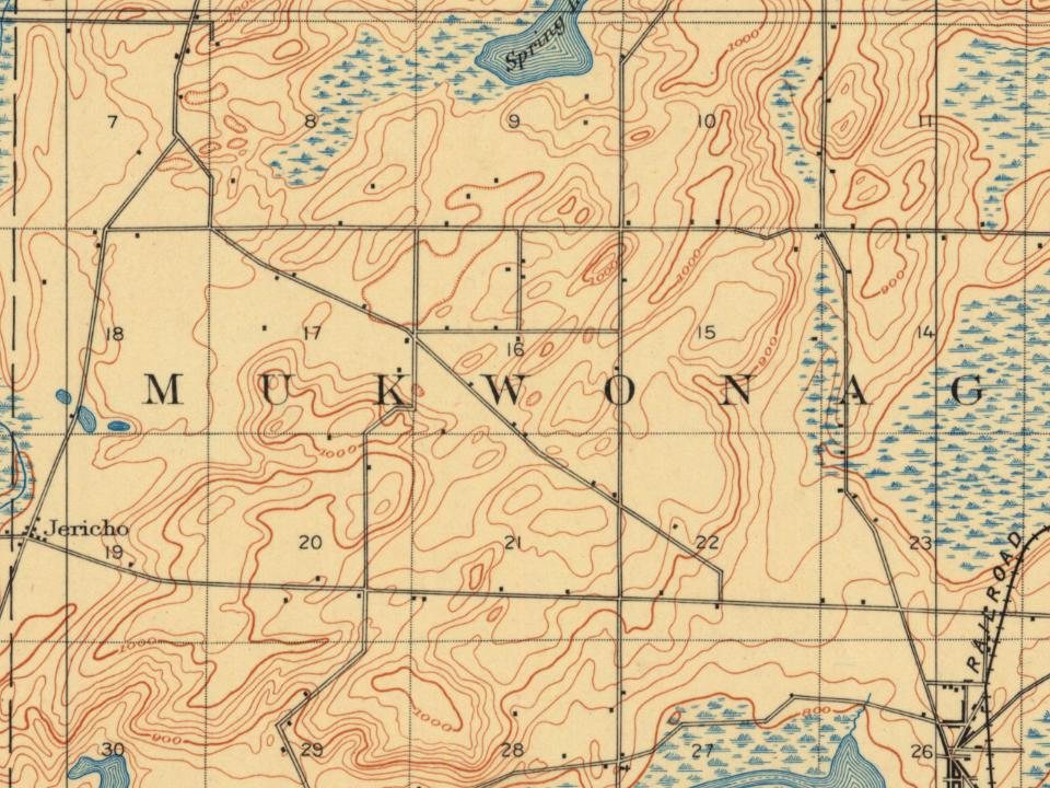
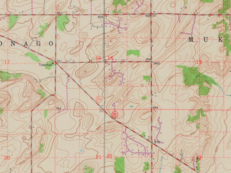
Most of Mukwonago was built recently: 7% of its homes predate 1940 and the median home dates from 1986. Below: maps from 1892 on and the census since 1880.
The area was originally a Native American village and the tribal seat of the Bear Clan of the Potawatomi Indians. The name "Mukwonago" is derived from mequanego which translates to bear's den. The spelling "Mukwonago" was adopted in 1844 because of the similarity to nearby Mequon. Many of the streets and roads are named after the city's founders, such as Ira Blood, Major Jessie Meacham, Sewall Andrews, and Thomas Sugden.
Passages that mention Mukwonago, cut from the printed page as they were published.
The History of Waukesha County, Wisconsin. Containing an account of its settlement, growth, development and resources1880 · page 493Read the page →
Read the text
I sold my interest in the northeast quarter of Section 19 to James Meader, and moved to the town of Eagle in September, 1843. I removed from the town of Eagle to the town of Genesee in October, 1849, where I have resided ever since. I think there is not a single white person living now in the town of Mukwonago, Eagle, Genesee and Ottawa, who were living there when Joseph Smart and myself first claimed our land in the town of Mukwonago. If there are any now living in either of these towns. I should be very glad to meet them.
Text read by machine from the scan; it may contain errors.
The History of Waukesha County, Wisconsin. Containing an account of its settlement, growth, development and resources1880 · page 760Read the page →
Read the text
The office was called Springfield, that being the first postoffice within the limits of the town. In the winter of 1839 and 1840, the office was moved to the village of Mukwonago, and Andrew E. Elmore was made Postmaster, and from that time the office was called Mukwonago. There soon began to appear among our farmers, and especially among those who had settled in the northwestern portion of the town, marked indications of thrift and of future wealth. They were improving their farms rapidly, commencing to breed all kinds of farm stock, and produced most of the necessaries of life. Until a much later date, there were no physicians, or preachers of the Gospel within the limits of the town, and probably none nearer than Milwaukee, a distance of
Text read by machine from the scan; it may contain errors.
Scans and text from the Internet Archive. Books published in 1930 or earlier, which are in the public domain.
Founding dates: Wikidata, Wikipedia, the U.S. post office records of Blevins & Helbock (CC0) and the Census. Homes by year built: Census ACS 2020–24. National Register of Historic Places: National Park Service (list of May 22, 2026). Old photos, postcards and papers: Wikimedia Commons, the Library of Congress and other public archives, credited on each item’s page. Maps: U.S. Geological Survey historical topographic maps (via Esri) and Sanborn fire-insurance maps (Library of Congress). History text and census tables: Wikipedia (CC BY-SA 4.0). Places that used to be: USGS Geographic Names Information System (2021). How TownRatings grades history →
From Wikimedia Commons (4), Wikidata (2), Wikipedia, U.S. Geological Survey historical maps, U.S. Census counts (via Wikipedia), the USGS Geographic Names Information System and old county and town histories (Internet Archive). Archive images are copied here with their credits and licenses, shown on each photo’s page. Refreshed monthly.




 2007
 2007
 2006
 2005