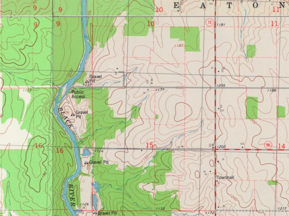
The outline of the six mile square that would become Eaton was first surveyed in June 1847 by a crew working for the U.S. government. Then in October and November of the same year the same crew marked all the section corners in the township, walking through the woods and swamps, measuring with chain and compass. The survey produced a map which shows a "Waggon Road" winding east of the Black River and sites of four cabins along the river, including "Vanduser's cabin," along with Vanduser's millsite near the future site of Greenwood. When done, the deputy surveyor filed this general description:
Founding dates: Wikidata, Wikipedia, the U.S. post office records of Blevins & Helbock (CC0) and the Census. Homes by year built: Census ACS 2020–24. National Register of Historic Places: National Park Service (list of May 22, 2026). Old photos, postcards and papers: Wikimedia Commons, the Library of Congress and other public archives, credited on each item’s page. Maps: U.S. Geological Survey historical topographic maps (via Esri) and Sanborn fire-insurance maps (Library of Congress). History text and census tables: Wikipedia (CC BY-SA 4.0). Places that used to be: USGS Geographic Names Information System (2021). How TownRatings grades history →
From Wikipedia, U.S. Geological Survey historical maps and the USGS Geographic Names Information System. Archive images are copied here with their credits and licenses, shown on each photo’s page. Refreshed monthly.