 1
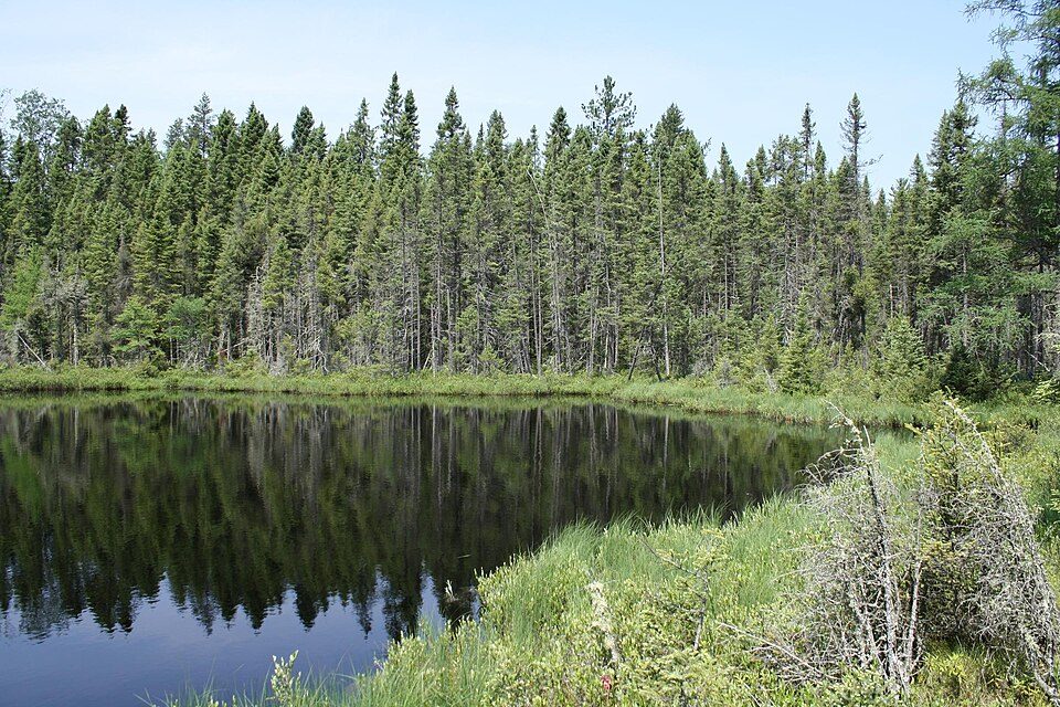
Chequamegon–Nicolet National Forest
National forest in Wisconsin, United States.
Each edition grades its towns against each other only.

Around 852K people visit Saint Croix National Scenic Riverway each year. No place to visit is mapped inside Diaperville; 3 are within 40 miles. The commonest are a national forest, a national lakeshore and a national park site. Allow a day for Split Rock Lighthouse, 51 mi off.
69,372 acres in Bayfield, Wisconsin (US) managed by the National Park Service.
The towns around it, and where to stay →
Saint Croix National Scenic Riverway, 33 mi away, is the farthest on the map.
Orange: Diaperville. Numbers: the best-known places, matching the list below. © OpenStreetMap contributors
Here are the 8 places within 60 miles.
National forest in Wisconsin, United States.
69,372 acres in Bayfield, Wisconsin (US) managed by the National Park Service.
Ranked by how many people look them up, so the famous places lead and the local favorites follow.
Parks and trails in Diaperville → · Diaperville’s history →
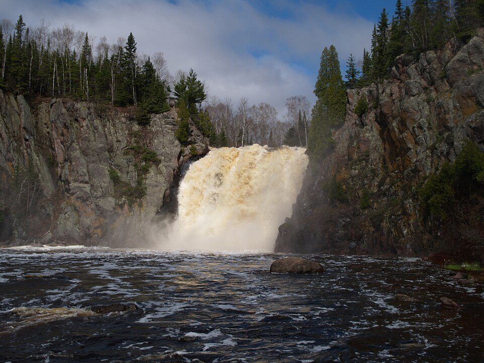
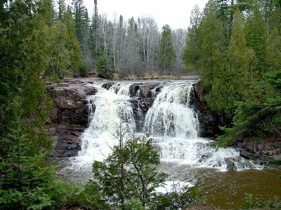
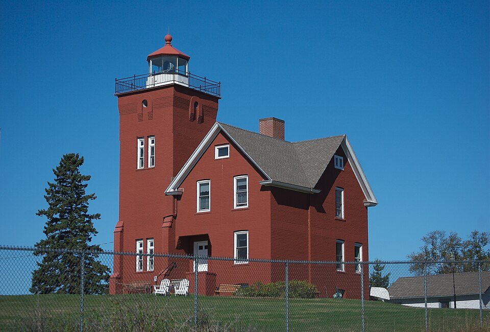
Chequamegon–Nicolet National Forest: MDuchek, CC BY-SA 3.0 · Split Rock Lighthouse: Jim Sorbie, CC BY 2.0 · Apostle Islands National Lakeshore: NPS Photo, Public domain · Tettegouche State Park: Desertson67 at English Wikipedia, CC BY-SA 3.0 · Gooseberry Falls State Park: Chuck Kochmann, Copyrighted free use · Two Harbors Lighthouse: pmarkham, CC BY-SA 2.0
 2
 4
 5
 6


